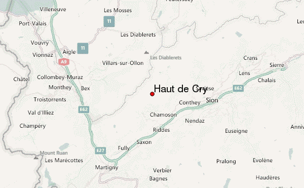
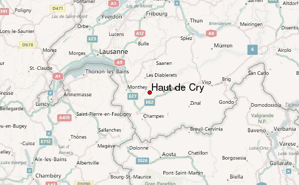
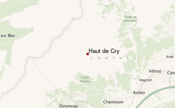
– Lat/Long: 46.24° N 7.20° E
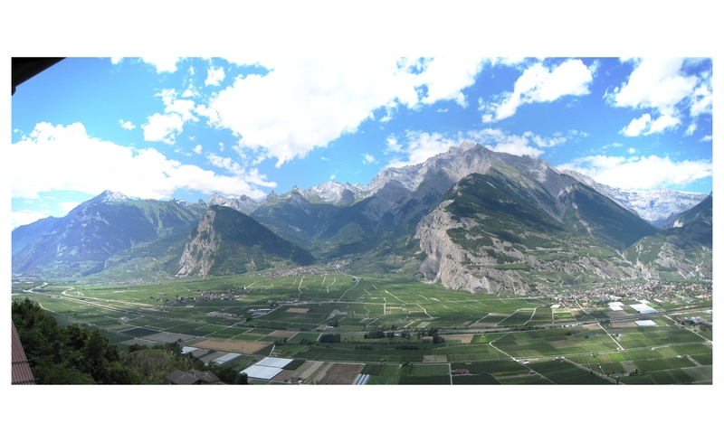
 Haut de Cry – Climbing, Hiking & Mountaineering information

Haut de Cry Guide
- Elevation: 2969
- Difficulty: -
- Best months to climb: -
- Convenient center: -
Haut de Cry climbers NotesBe the first to submit your climbers note! Please submit any useful information about climbing Haut de Cry that may be useful to other climbers. Consider things such as access and accommodation at the base of Haut de Cry, as well as the logistics of climbing to the summit. |
| Select a
mountain summit from the menu |
||
|
Select a Mountain Summit
|
||
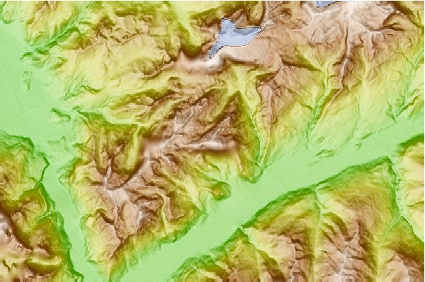
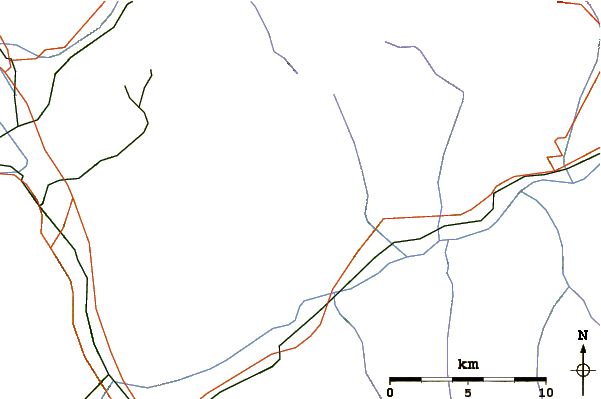
Use this relief map to navigate to mountain peaks in the area of Haut de Cry.
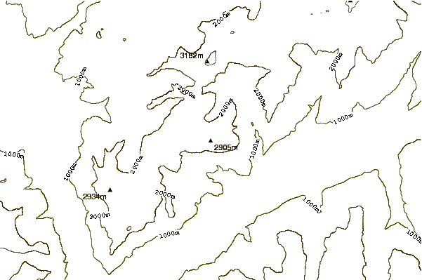
10 other mountain peaks closest to Haut de Cry:
| 1. | Gîte de la Chaux de Dorbon (1956 m) | 2.2 km |
| 2. | Mont à Cavouère (2595 m) | 2.8 km |
| 3. | Tête à Pierre Grept (2904 m) | 3.4 km |
| 4. | Cabane de Plan Névé (2262 m) | 4.1 km |
| 5. | Refuge du lac de Derborence (1480 m) | 4.7 km |
| 6. | Cabane Rambert CAS (2580 m) | 4.8 km |
| 7. | Cabane Barraud (1995 m) | 5.5 km |
| 8. | Petit Muveran (2810 m) | 5.8 km |
| 9. | Refuge Giacomini (1893 m) | 5.9 km |
| 10. | Grand Muveran (3051 m) | 6.1 km |