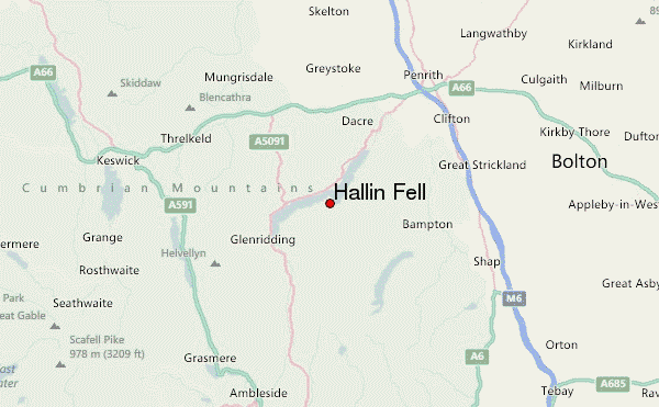
– Lat/Long: 54.57° N 2.88° W

Hallin Fell – Climbing, Hiking & Mountaineering information

Hallin Fell Guide

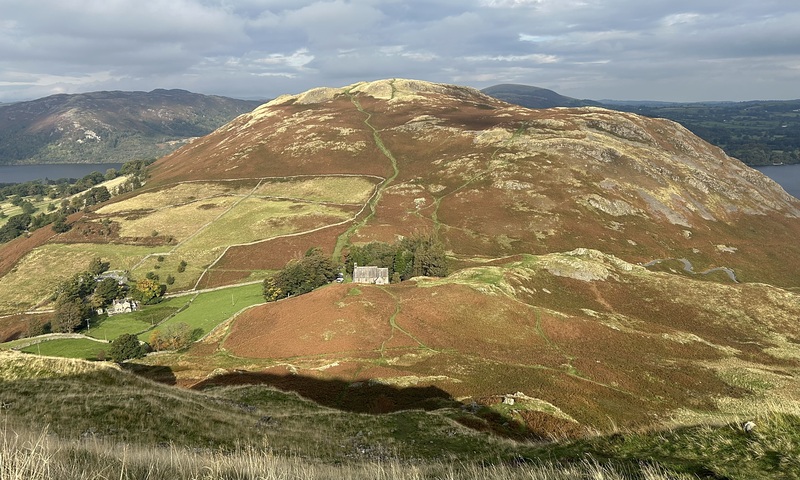
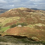
Hallin Fell photo

Hallin Fell

Photo credit: Steve Dunn

  • Elevation: 388
  • Difficulty: -
  • Best months to climb: -
  • Convenient center: -

Hallin Fell climbers Notes

Easy But Rewarding Walk from UNITED KINGDOM writes:

Park at Martindale Church, short steep first few hundred meters, then easy path to the summit which is adorned by a very well built cairn.
Superb views for very little effort.

2026-05-10

Click here to submit your own climbing note for Hallin Fell

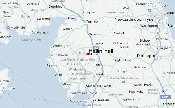
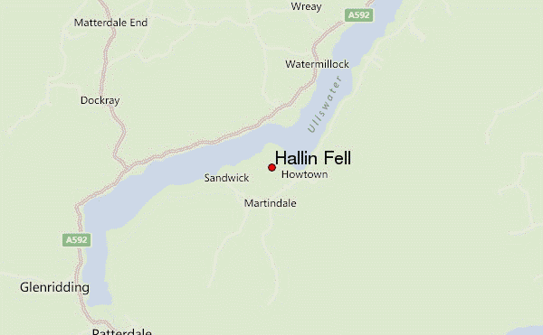
Hallin Fell Location Map

Select Hallin Fell Location Map Detail:


Select a mountain summit from the menu
Select a Mountain Summit
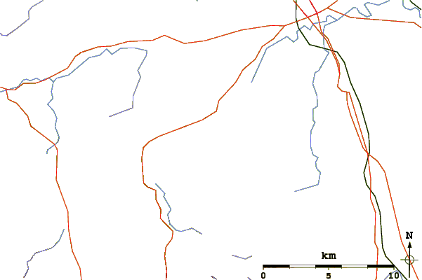
Surf breaks located close to Hallin Fell Mountain peaks around Hallin Fell Roads and rivers around Hallin Fell

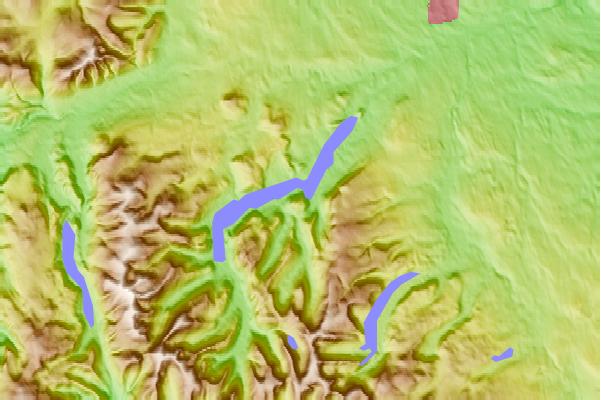
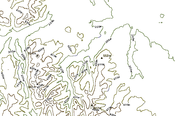
Use this relief map to navigate to mountain peaks in the area of Hallin Fell.

10 other mountain peaks closest to Hallin Fell:

1. Bonscale Pike (524 m) 1.8 km
2. Steel Knotts (432 m) 1.9 km
3. Arthur's Pike (533 m) 2.8 km
4. Beda Fell (509 m) 2.9 km
5. Loadpot Hill (672 m) 2.9 km
6. Gowbarrow Fell (481 m) 3.4 km
7. Wether Hill (Lake District) (674 m) 4.0 km
8. Place Fell (657 m) 4.2 km
9. Little Mell Fell (505 m) 4.3 km
10. The Nab (576 m) 4.7 km