– Lat/Long: 7.45° S 110.43° E
 Gunung Merbabu – Climbing, Hiking & Mountaineering information

Gunung Merbabu Guide
- Elevation: 3144
- Difficulty: Walk up
- Best months to climb: June, July, August, September
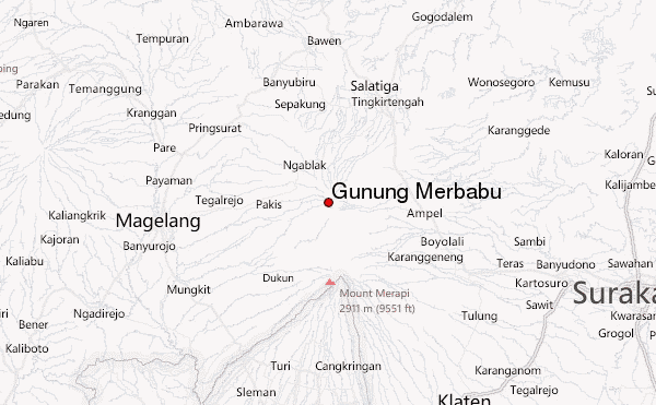
- Convenient center: Kopeng
Gunung Merbabu climbers Notes
Click here to submit your own climbing note for Gunung Merbabu |
| Select a
mountain summit from the menu |
||
|
Select a Mountain Summit
|
||
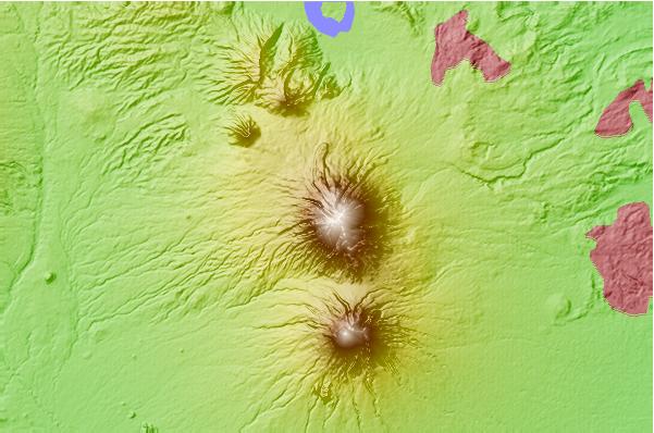
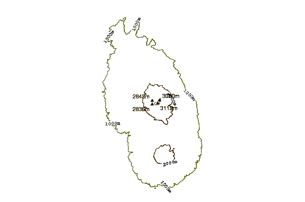
Use this relief map to navigate to mountain peaks in the area of Gunung Merbabu.
10 other mountain peaks closest to Gunung Merbabu:
| 1. | Mount Merbabu (3145 m) | 0.0 km |
| 2. | Mount Telomoyo (1894 m) | 9.5 km |
| 3. | Telomoyo (1894 m) | 9.5 km |
| 4. | Gunung Merapi (2911 m) | 10.3 km |
| 5. | Ungaran (2050 m) | 32.0 km |
| 6. | Mount Ungaran (2050 m) | 32.0 km |
| 7. | Sumbing (3371 m) | 41.8 km |
| 8. | Mount Sundoro (3136 m) | 51.1 km |
| 9. | Sundoro (3151 m) | 51.1 km |
| 10. | Dieng Volcanic Complex (2565 m) | 62.8 km |