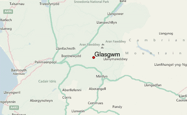
– Lat/Long: 52.76° N 3.73° W
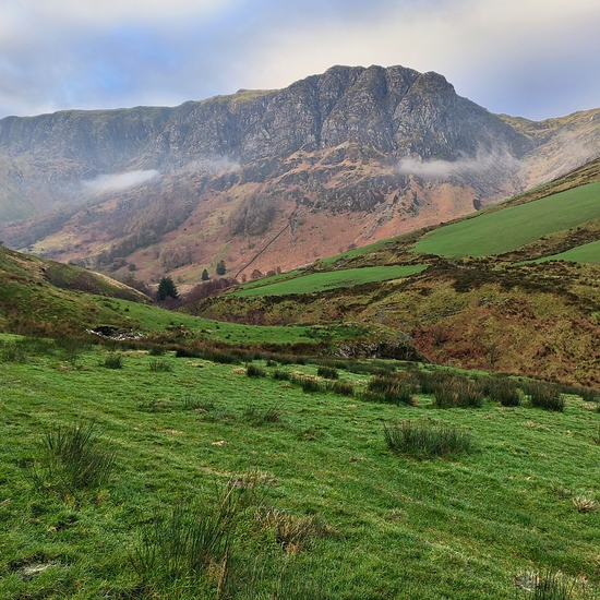
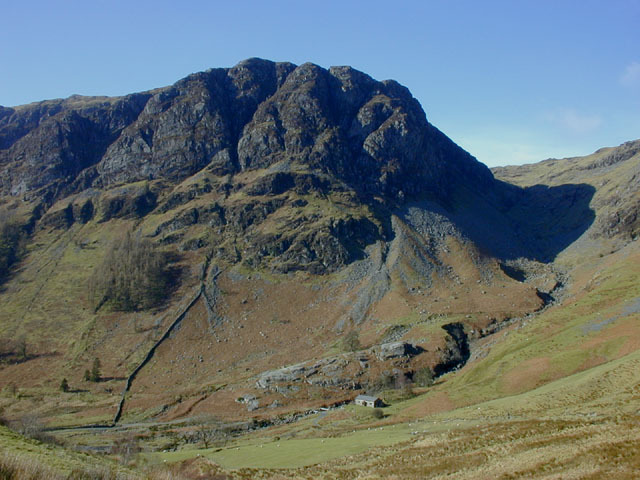
 Glasgwm – Climbing, Hiking & Mountaineering information

Glasgwm Guide
- Elevation: 780
- Difficulty: -
- Best months to climb: -
- Convenient center: -
Glasgwm climbers NotesBe the first to submit your climbers note! Please submit any useful information about climbing Glasgwm that may be useful to other climbers. Consider things such as access and accommodation at the base of Glasgwm, as well as the logistics of climbing to the summit. |
| Select a
mountain summit from the menu |
||
|
Select a Mountain Summit
|
||
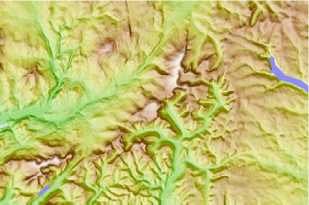
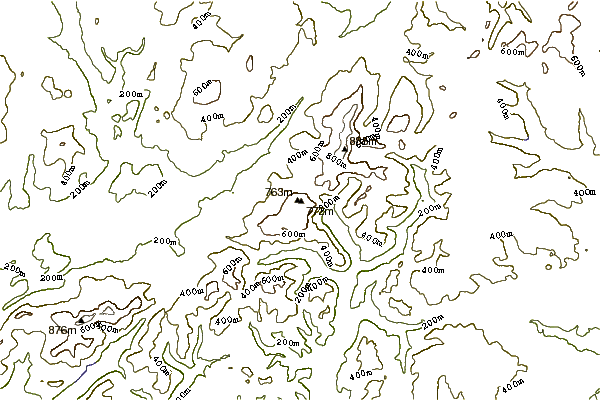
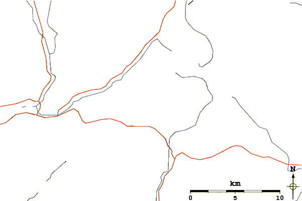
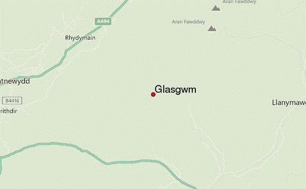
Use this relief map to navigate to mountain peaks in the area of Glasgwm.
10 other mountain peaks closest to Glasgwm:
| 1. | Pen y Brynfforchog (685 m) | 2.4 km |
| 2. | Erw y Ddafad-ddu (872 m) | 4.0 km |
| 3. | Gwaun Lydan (632 m) | 4.0 km |
| 4. | Gwaun y Llwyni (685 m) | 4.0 km |
| 5. | Waun Camddwr (621 m) | 4.0 km |
| 6. | Foel Hafod-fynydd (689 m) | 4.0 km |
| 7. | Pen yr Allt Uchaf (620 m) | 4.0 km |
| 8. | Aran Benllyn (885 m) | 4.0 km |
| 9. | Cribin Fawr (659 m) | 5.8 km |
| 10. | Aran Fawddwy (911 m) | 6.0 km |