– Lat/Long: 61.80° N 5.82° E
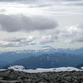
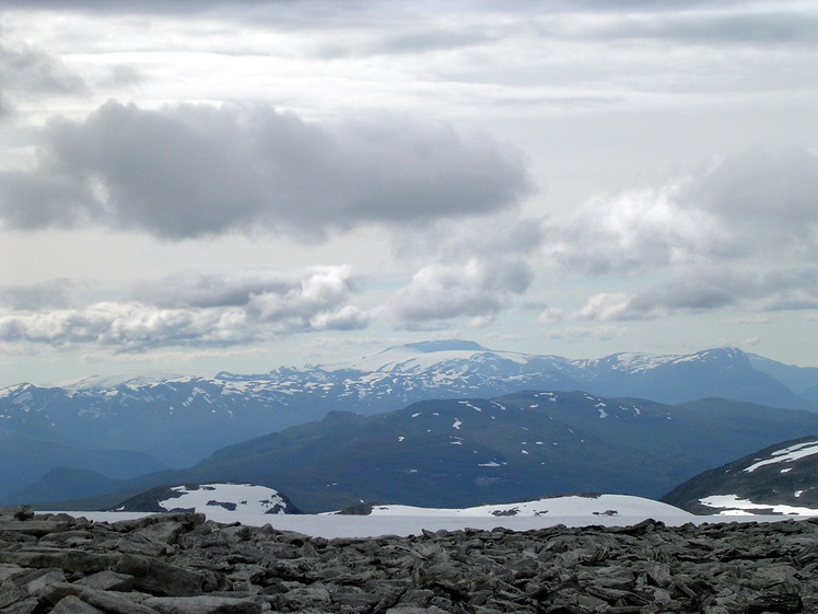
 Gjegnen
Weather Forecast, NorwayIssued: 7 pm Wed 01 Jul Local TimeUpdates in: hr min sUpdate imminent
Issued: 7 pm Wed 01 Jul Local Time
Updates in:
Update imminent hr min s

Issued: 7 pm Wed 01 Jul Local Time
Updates in:
Update imminent hr min s
Days 1–4 Weather SummaryHeavy rain (total 34mm), heaviest during Fri night. Mild temperatures (max 9°C on Wed night, min 5°C on Fri night). Wind will be generally light. | Days 5–7 Weather SummaryMild with heavy rain (total 23mm), heaviest during Sat night. Becoming colder with a moderate fall of snow heaviest on Tue morning. Mild temperatures (max 7°C on Sat night, min 1°C on Mon night). Wind will be generally light. | ||||||||||||||||||
Thursday 2 | Friday 3 | Saturday 4 | Sunday 5 | Monday 6 | Tuesday 7 | ||||||||||||||
night | AM | PM | night | AM | PM | night | AM | PM | night | AM | PM | night | AM | PM | night | AM | PM | night | |
rain shwrs | light rain | light rain | light rain | light rain | rain shwrs | heavy rain | mod. rain | light rain | heavy rain | rain shwrs | rain shwrs | rain shwrs | snow shwrs | rain shwrs | snow shwrs | snow shwrs | rain shwrs | some clouds | |
km/h | |||||||||||||||||||
 |  |  |  |  |  |  | |||||||||||||
— | — | — | — | — | — | — | — | — | — | — | — | — | 1 | — | 5 | 6 | — | — | |
mm | 1.2 | 0.6 | 1.5 | 3 | 0.9 | 1.4 | 15 | 8 | 2 | 10 | 5 | 1.5 | 0.8 | — | 0.5 | 0.1 | 4 | 0.1 | — |
max °C | 9 | 9 | 9 | 8 | 6 | 6 | 6 | 6 | 7 | 7 | 5 | 5 | 4 | 2 | 3 | 2 | 2 | 6 | 7 |
min °C | 8 | 9 | 9 | 6 | 6 | 6 | 5 | 6 | 6 | 6 | 5 | 5 | 2 | 2 | 2 | 1 | 2 | 4 | 6 |
chill °C | 6 | 9 | 7 | 4 | 5 | 4 | 1 | 3 | 3 | 6 | 2 | 2 | -2 | -1 | -2 | -4 | -1 | 2 | 5 |
Freezing level m | 2300 | 2300 | 2400 | 2200 | 2050 | 1900 | 2000 | 2100 | 2100 | 2000 | 1700 | 1700 | 1300 | 1200 | 1350 | 1250 | 1350 | 2000 | 2600 |
Cloud base (m) | 1850 | 2200 | 450 | 450 | 600 | 900 | 450 | 450 | 500 | 450 | 500 | 1500 | 800 | 550 | 800 | 450 | 450 | 850 | |
— | 3:57 | — | — | 3:58 | — | — | 3:59 | — | — | 4:01 | — | — | 4:01 | — | — | 4:03 | — | — | |
— | — | — | 11:22 | — | — | 11:22 | — | — | 11:21 | — | — | 11:20 | — | — | 11:17 | — | — | 11:16 | |
Loading...
Gjegnen Weather (Days 0-3):
The weather forecast for Gjegnen is: Heavy rain (total 34mm), heaviest during Fri night. Mild temperatures (max 9°C on Wed night, min 5°C on Fri night). Wind will be generally light.
Gjegnen Weather (Days 3-6):
Mild with heavy rain (total 23mm), heaviest during Sat night. Becoming colder with a moderate fall of snow heaviest on Tue morning. Mild temperatures (max 7°C on Sat night, min 1°C on Mon night). Wind will be generally light.
This table gives the weather forecast for Gjegnen at the specific elevation of 1000 m. Our advanced weather models allow us to provide distinct weather forecasts for several elevations of Gjegnen. To see the weather forecasts for the other elevations, use the tab navigation above the table. For a wider overview of the weather, consult the Weather Map of Norway.
| Weather Station | Temp. | Weather | Wind | Gusts | Cloud / Visibility |
|---|---|---|---|---|---|
Sandane AP | |||||
FLK Vindkjegla | |||||
VØH-Rotsethornet | |||||
FLK Hafstadfjellet | |||||
VØH-Reset | |||||
Orsta -Volda AP | |||||
FLK Holsa |
* NOTE: not all weather observatories update at the same frequency which is the reason why some locations may show data from stations that are further away than known closer ones.