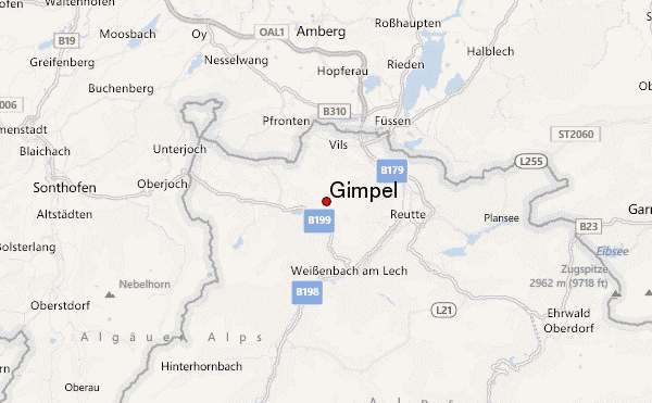
Gimpel Guide
- Elevation: 2108
- Difficulty: Technical Climb
- Best months to climb: -
- Convenient center: Nesselwang, Füssen
Gimpel climbers Notes
Bas from THE NETHERLANDS writes:
One of the best places on internet to look for is 'climbings-paradise'
On this site there are tons of detailed topos maps of single pitch, multi pitch, via ferrata and ice climbing routes around the area.
A perfect 'base-camp' in Berghutte Gimpelhaus
2021-08-21 |
Click here to submit your own climbing note for Gimpel
|
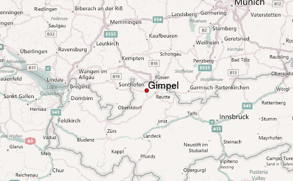
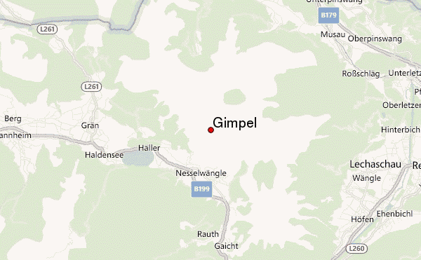
Select Gimpel Location Map Detail:
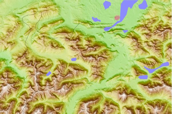
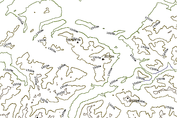
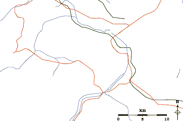
Use this relief map to navigate to mountain peaks in the area of Gimpel.
10 other mountain peaks closest to Gimpel:
 Gimpel – Climbing, Hiking & Mountaineering information