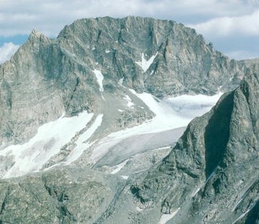
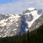
Gannett Peak Guide
- Elevation: 4207
- Difficulty: Scramble
- Best months to climb: July, August, September
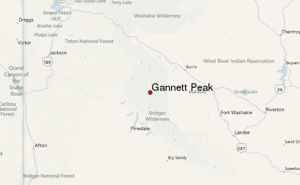
- Convenient center: Pinedale, Wyoming
Gannett Peak climbers Notes
Darrell Harding from UNITED STATES writes:
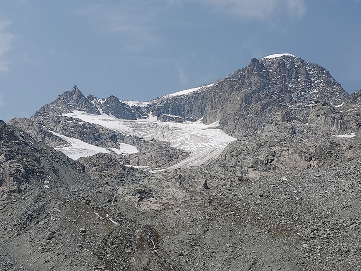
My daughter, Sarah, and I made the summit on 9-14-18, on a nice sunny day. We meet Chris and Matt from Tennessee at the summit, two very competent climbers, so we down climbed with them and combined ropes for longer rappels on the Gooseneck. Chris and Matt came via the Glacier Trial and we came via Titcomb Basin. We reached the top of Dinwoody Pass at 1:30 am so we spent a cold windy night at the top of Dinwoody pass and then climbed down to our tents in Titcomb basin at first light. 26 hours from leaving our tents to returning to our tents.
2018-09-19 |
Click here to read 3 more climbing notes for Gannett Peak or submit your own
|
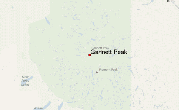
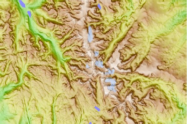
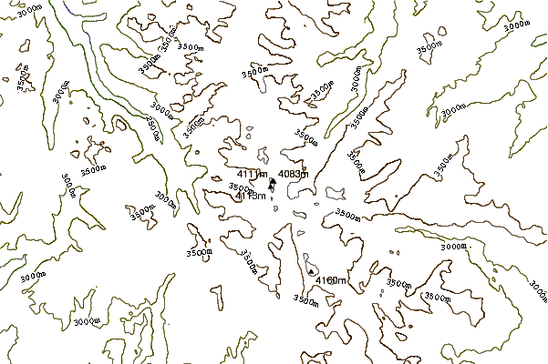
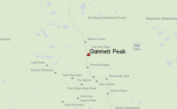
Select Gannett Peak Location Map Detail:
Use this relief map to navigate to mountain peaks in the area of Gannett Peak.
10 other mountain peaks closest to Gannett Peak:
 Gannett Peak – Climbing, Hiking & Mountaineering information