– Lat/Long: 52.37° N 8.18° W
 Galtymore – Climbing, Hiking & Mountaineering information

Galtymore guide
- Elevation: 917 m
- Difficulty:
- Best months to climb:
- Convenient center:
Galtymore Climbing Notes
Click here to read 1 more climbing note for Galtymore or submit your own |


| Select a
mountain summit from the menu |
||
|
Select a Mountain Summit
|
||
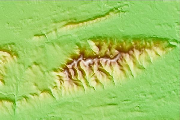
Use this relief map to navigate to mountain peaks in the area of Galtymore.
10 other mountain peaks closest to Galtymore:
| 1. | Lyracappul (825 m) | 3.3 km |
| 2. | Temple Hill (Ireland) (785 m) | 4.9 km |
| 3. | Sugarloaf Hill (Knockmealdowns) (663 m) | 20.9 km |
| 4. | Knockmealdown (794 m) | 23.6 km |
| 5. | Slievenamon (721 m) | 42.4 km |
| 6. | Comeragh Mountains (792 m) | 42.6 km |
| 7. | Keeper Hill (694 m) | 43.0 km |
| 8. | Fauscoum (792 m) | 45.8 km |
| 9. | Slieveardagh Hills (340 m) | 53.7 km |
| 10. | Musheramore (644 m) | 67.1 km |