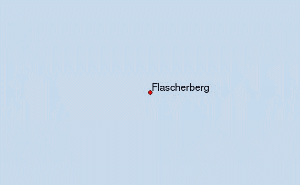
 Fläscherberg (Flascherberg) – Climbing, Hiking & Mountaineering information

Fläscherberg Guide
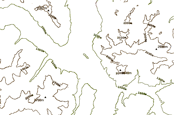
- Elevation: 1135
- Difficulty: Walk up
- Best months to climb: April, May, June, July, August, September, October
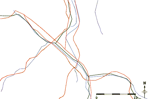
- Convenient center: Fläsch
This small mountain range stands all free at itself and builds a natural front to the Kanton St. Gallen and to the Principality of Liechtenstein. From the north a forested gentle slope leads to the summit. The drop off towards southwest opens an amazing view to the Rhein valley and the surrounding mountain ranges. Located on the foothills of the Fläscherberg is Fläsch - a unique little village. With its mild climate caused by the warm wind, Fläsch is known to bring out some of the greatest wines of the area.
Fläscherberg climbers NotesBe the first to submit your climbers note! Please submit any useful information about climbing Fläscherberg that may be useful to other climbers. Consider things such as access and accommodation at the base of Fläscherberg, as well as the logistics of climbing to the summit. |

| Select a
mountain summit from the menu |
||
|
Select a Mountain Summit
|
||
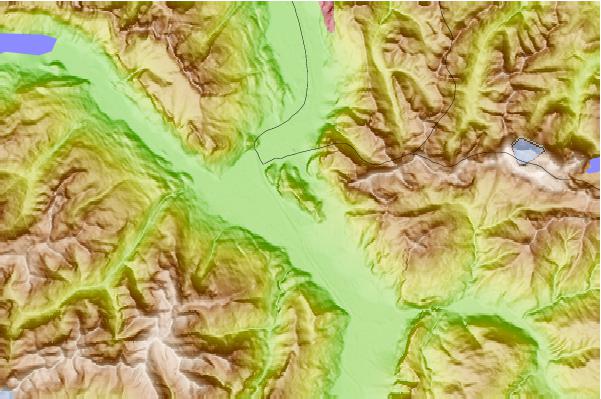
Use this relief map to navigate to mountain peaks in the area of Fläscherberg.
10 other mountain peaks closest to Fläscherberg:
| 1. | Würznerhorn (1713 m) | 3.4 km |
| 2. | Enderlinhütte SAC (1501 m) | 3.4 km |
| 3. | Mittlerspitz (1897 m) | 4.0 km |
| 4. | Mazorakopf (2452 m) | 4.0 km |
| 5. | Rotspitz (2127 m) | 4.1 km |
| 6. | Mittagspitz (1857 m) | 4.1 km |
| 7. | Falknis (2562 m) | 4.7 km |
| 8. | Glegghorn (2450 m) | 5.4 km |
| 9. | Grauspitz (2599 m) | 6.0 km |
| 10. | Koraspitz (1927 m) | 6.1 km |