– Lat/Long: 51.88° N 3.40° W
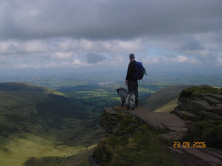
 Fan y Big
Weather Forecast, United KingdomIssued: 12 pm Mon 03 Aug Local TimeUpdates in: hr min sUpdate imminent
Issued: 12 pm Mon 03 Aug Local Time
Updates in:
Update imminent hr min s

Issued: 12 pm Mon 03 Aug Local Time
Updates in:
Update imminent hr min s
Days 1–3 Weather SummarySome drizzle, heaviest during Tue morning. Warm (max 23°C on Mon afternoon, min 7°C on Wed night). Winds increasing (light winds from the SSW on Mon night, strong winds from the SW by Tue afternoon). | Days 4–6 Weather SummaryMostly dry. Very mild (max 19°C on Sat afternoon, min 8°C on Thu night). Wind will be generally light. | |||||||||||||||||
Monday 3 | Tuesday 4 | Wednesday 5 | Thursday 6 | Friday 7 | Saturday 8 | |||||||||||||
AM | PM | night | AM | PM | night | AM | PM | night | AM | PM | night | AM | PM | night | AM | PM | night | |
some clouds | some clouds | light rain | light rain | rain shwrs | rain shwrs | light rain | clear | some clouds | some clouds | clear | clear | some clouds | some clouds | clear | clear | clear | clear | |
Cloud base (m) | 4100 | 3450 | 3750 | 350 | 650 | 500 | 400 | 1650 | 2050 | 450 | 8550 | 9050 | 6050 | 2100 | 3600 | 4500 | 3350 | |
km/h | ||||||||||||||||||
 |  |  |  |  |  | |||||||||||||
— | — | — | — | — | — | — | — | — | — | — | — | — | — | — | — | — | — | |
mm | — | — | 0.1 | 0.4 | 0.2 | 0.4 | 0.1 | — | — | — | — | — | — | — | — | — | — | — |
max °C | 21 | 23 | 17 | 17 | 17 | 13 | 12 | 13 | 10 | 13 | 14 | 10 | 16 | 15 | 12 | 17 | 19 | 14 |
min °C | 18 | 21 | 15 | 15 | 15 | 10 | 11 | 12 | 7 | 10 | 13 | 8 | 13 | 14 | 10 | 14 | 17 | 13 |
chill °C | 18 | 21 | 13 | 13 | 12 | 6 | 7 | 9 | 4 | 7 | 12 | 8 | 13 | 14 | 9 | 13 | 16 | 13 |
Freezing level m | 3650 | 3650 | 3750 | 3800 | 3550 | 3750 | 3150 | 2950 | 2900 | 2550 | 2900 | 3300 | 3050 | 2800 | 3200 | 3400 | 3600 | 3500 |
5:37 | — | — | 5:39 | — | — | 5:41 | — | — | 5:41 | — | — | 5:43 | — | — | 5:45 | — | — | |
— | 9:00 | — | — | 8:58 | — | — | 8:57 | — | — | 8:54 | — | — | 8:52 | — | — | 8:51 | — | |
Loading...
Fan y Big Weather (Days 0-3):
The weather forecast for Fan y Big is: Some drizzle, heaviest during Tue morning. Warm (max 23°C on Mon afternoon, min 7°C on Wed night). Winds increasing (light winds from the SSW on Mon night, strong winds from the SW by Tue afternoon).
Fan y Big Weather (Days 3-6):
Mostly dry. Very mild (max 19°C on Sat afternoon, min 8°C on Thu night). Wind will be generally light.
This table gives the weather forecast for Fan y Big at the specific elevation of 719 m. Our advanced weather models allow us to provide distinct weather forecasts for several elevations of Fan y Big. To see the weather forecasts for the other elevations, use the tab navigation above the table. For a wider overview of the weather, consult the Weather Map of United Kingdom.
| Weather Station | Temp. | Weather | Wind | Gusts | Cloud / Visibility |
|---|---|---|---|---|---|
Blorenge | |||||
Llantrithyd Park | |||||
Cardiff-Wales Airport | |||||
Llethryd Barns | |||||
Scarweather WaveNet Site | |||||
Weston Bay Waverider | |||||
* NOTE: not all weather observatories update at the same frequency which is the reason why some locations may show data from stations that are further away than known closer ones.
Fan y Big Photos
View all
Brecon Beacons photos (99) |
Cambrian Mountains photos (384) |
photos from mountains in United Kingdom (2125) |
all photos
 Upload new photo
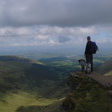


Fan Y Big Summit
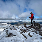
Fan y Big in the snow
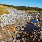
Lower Neuadd Reservoir
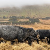
Cattle grazing above Neuadd Reservoir
Misty Fan y Big
Pen y too Fan y February