Erta Ale Guide
- Elevation: 613
- Difficulty: -
- Best months to climb: -
- Convenient center: -
Erta Ale climbers Notes
Wolfgang Piecha from DJIBOUTI writes:
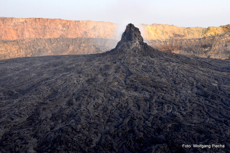
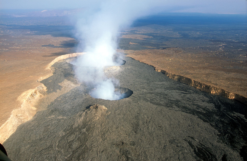
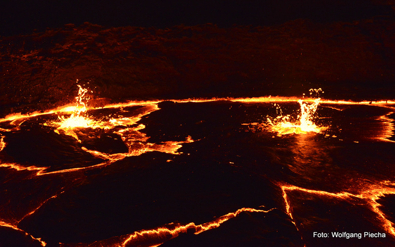
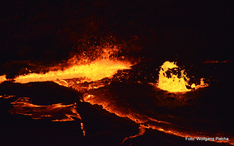
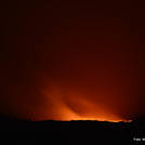
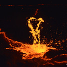
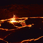
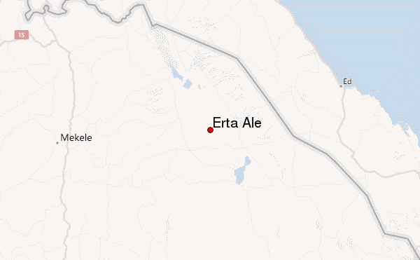
Erta Ale is situated in a remote area in the Danakil depression and security risks remain. But there is progress on both issues: After the killing of foreign tourists and kidnapping of others in January 2012 at Erta Ale, the Ethiopian government has rushed to build several new asphalt roads from Mekelle and the highlands into the Danakil depression and deployed permanent troops at Erta Ale (and Dallol) to protect tourists as well as a potash developer. As a result, in October 2014 I made it from Mekelle to the starting point for the parking lot and start of the walk to the magma lake in 7 hours (5 1/2 hrs asphalt road and 1 1/2 hrs sand and rough lava). As permits and military escorts are obligatory, a tour organized by a local company (either Mekelle or Addis Abeba) is a must. On the desert part we saw five ostriches.
The 12 km walk up to the peak usually is done after 4 pm (3 to 4 hours) and return before 9 am (2 to 3 hrs) to avoid the daytime heat. One night close to the rim is minimum, two nights are better to walk along the whole giant caldera,in which the magma lake is imbedded. Military is stationed permanently at the parking ground as well as at the crater rim. Sleeping is possible in huts or walled areas in both places. Dromedars for the luggage,food and water, but also for people can be hired.
2014-10-25 |
Click here to submit your own climbing note for Erta Ale
|
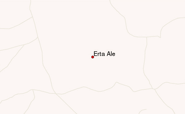
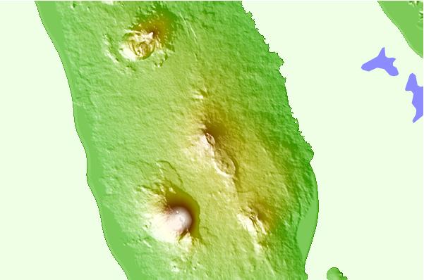
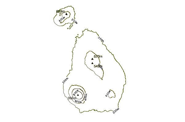
Select Erta Ale Location Map Detail:
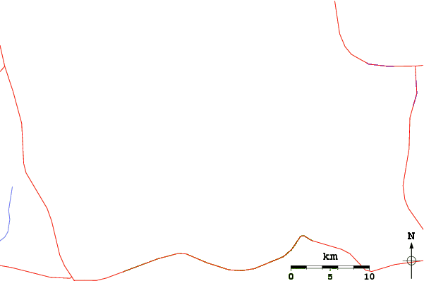
Use this relief map to navigate to mountain peaks in the area of Erta Ale.
10 other mountain peaks closest to Erta Ale:
 Erta Ale – Climbing, Hiking & Mountaineering information