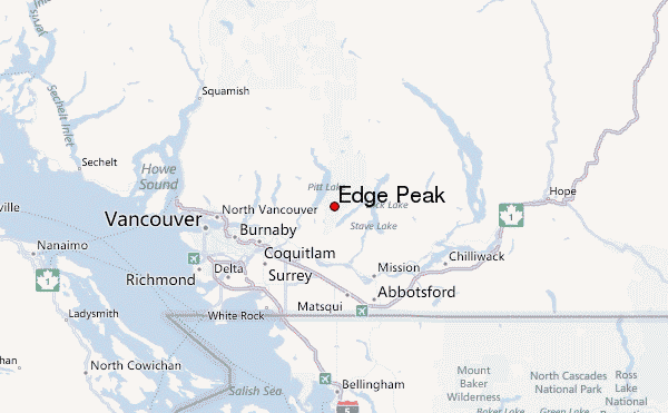
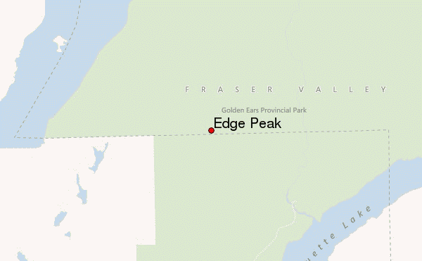
– Lat/Long: 49.36° N 122.50° W
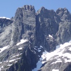
 Edge Peak – Climbing, Hiking & Mountaineering information

Edge Peak Guide
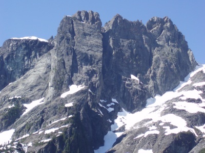
- Elevation: 1680
- Difficulty: -
- Best months to climb: -
- Convenient center: -
Edge Peak climbers NotesBe the first to submit your climbers note! Please submit any useful information about climbing Edge Peak that may be useful to other climbers. Consider things such as access and accommodation at the base of Edge Peak, as well as the logistics of climbing to the summit. |
| Select a
mountain summit from the menu |
||
|
Select a Mountain Summit
|
||
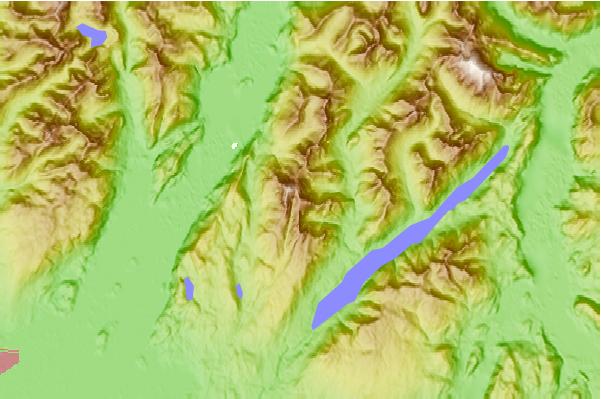
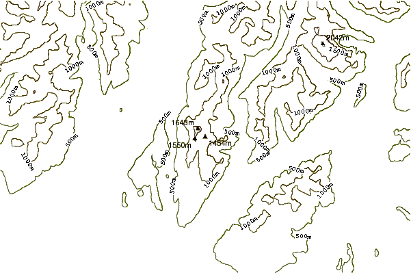
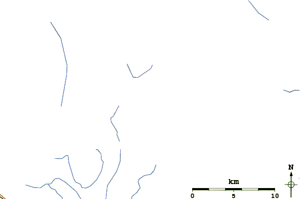
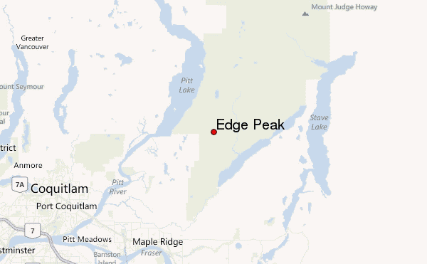
Use this relief map to navigate to mountain peaks in the area of Edge Peak.
10 other mountain peaks closest to Edge Peak:
| 1. | Golden Ears (peaks) (1716 m) | 1.0 km |
| 2. | Blanshard Peak (1550 m) | 1.5 km |
| 3. | Evans Peak (British Columbia) (1132 m) | 2.4 km |
| 4. | Mount Crickmer (1359 m) | 9.6 km |
| 5. | Mount Robie Reid (2095 m) | 13.3 km |
| 6. | Mount Burke (1270 m) | 13.7 km |
| 7. | Coquitlam Mountain (1583 m) | 15.7 km |
| 8. | Mount Judge Howay (2262 m) | 21.1 km |
| 9. | The Thumb (mountain) (1815 m) | 22.9 km |
| 10. | The Forefinger (mountain) (1741 m) | 23.2 km |