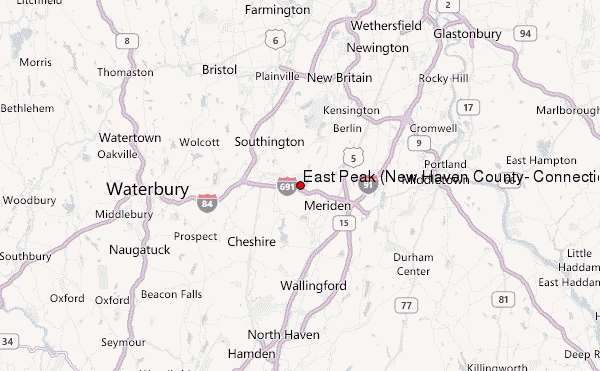
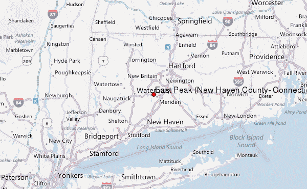
– Lat/Long: 41.56° N 72.84° W
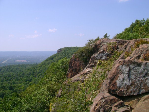
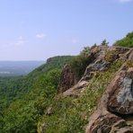
 East Peak (New Haven County, Connecticut) – Climbing, Hiking & Mountaineering information
East Peak (New Haven County, Connecticut) Guide
- Elevation: 297
- Difficulty: -
- Best months to climb: -
- Convenient center: -
East Peak (New Haven County, Connecticut) climbers NotesBe the first to submit your climbers note! Please submit any useful information about climbing East Peak (New Haven County, Connecticut) that may be useful to other climbers. Consider things such as access and accommodation at the base of East Peak (New Haven County, Connecticut), as well as the logistics of climbing to the summit. |
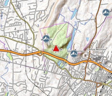
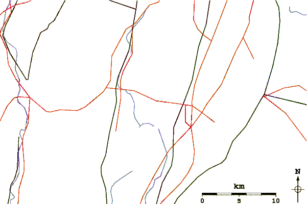
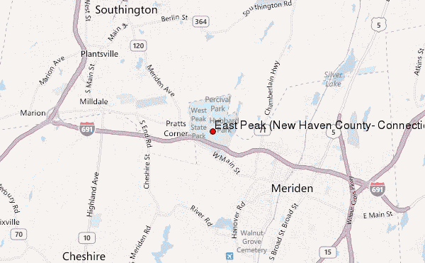
Select East Peak (New Haven County, Connecticut) Location Map Detail:
| Select a
mountain summit from the menu |
||
|
Select a Mountain Summit
|
||
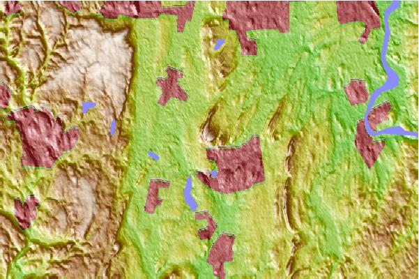
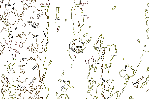
Use this relief map to navigate to mountain peaks in the area of East Peak (New Haven County, Connecticut).
10 other mountain peaks closest to East Peak (New Haven County, Connecticut):
| 1. | West Peak (New Haven County, Connecticut) (312 m) | 0.8 km |
| 2. | South Mountain (New Haven County, Connecticut) (234 m) | 1.1 km |
| 3. | Cathole Mountain (157 m) | 3.7 km |
| 4. | Short Mountain (Connecticut) (162 m) | 5.1 km |
| 5. | Lamentation Mountain (219 m) | 6.4 km |
| 6. | Chauncey Peak (210 m) | 6.5 km |
| 7. | Ragged Mountain (Connecticut) (232 m) | 6.8 km |
| 8. | Peck Mountain (New Haven County, Connecticut) (113 m) | 8.0 km |
| 9. | Besek Mountain (260 m) | 8.8 km |
| 10. | Higby Mountain (272 m) | 9.5 km |