Denis Rugovac from MONTENEGRO writes:
Comfortable accommodation in the Eco katun HAKO on "Prokletije" in an attractive destination in Babino Polje. Surrounded by beautiful mountains and lakes, each peak is over 2000m above sea level.
There are 4 cottages/bungalows with a total of 9 accommodation units that are equipped with 4, 5, 6, 8 beds, in total (50 beds), all rooms have heating, 5 bathrooms with hot water + 3 bathrooms outside the house.
One part of the restaurant of 90m2 has been put into operation, while the other part of 320m2 is still under construction.
Local traditional food is served, and it can also be made to order.
It has 2 large terraces over the river with a total area of 180m2 with a view of the mountain Starac, Pasji vrh and Bogicevica
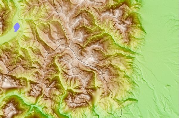
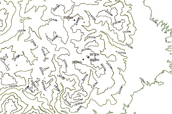
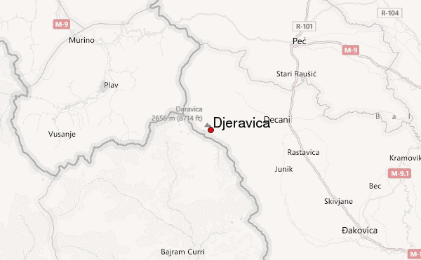
What can be visited: The second highest peak of Prokletija #DJERAVICA 2656 masl, Maja e Rops 2501 masl, Bogicevica, Tromedja, 1366 masl, Bogdas 2533 masl Hridsko jezero 1970 masl, Hridski Krs masl 2358, Bogicevicki krs 2374 masl, Bogdas 2533 masl, Bandera 2533mv2mv2
Most of them are circular tours
Transportation: 16-seater trucks + jeeps
Among other things, we organize
- Horseback riding
- Rafting on Lima
Contact person: Denis Rugovac
Mobile: +38269827034
E-mail [email protected]
2022-09-17 |


