– Lat/Long: 32.87° N 0.49° W
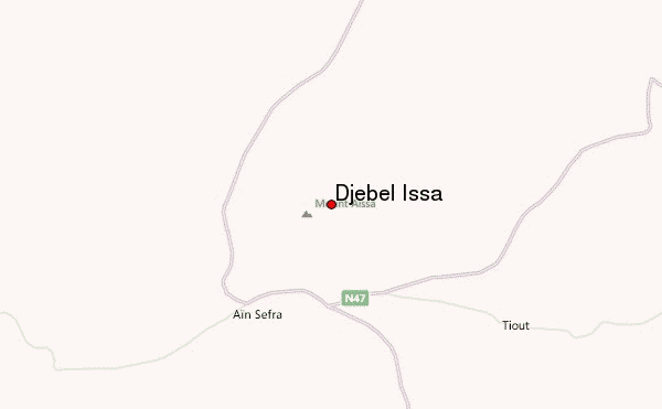
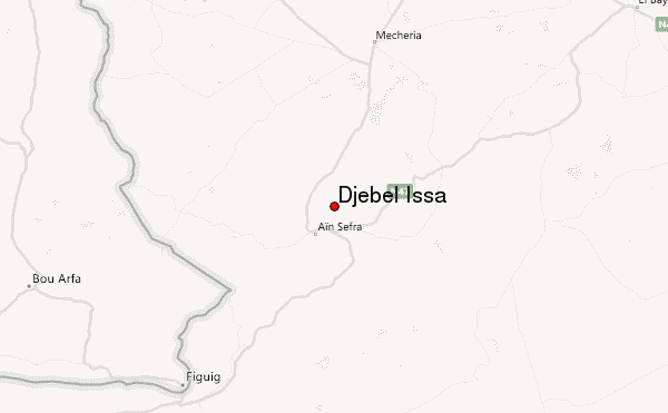
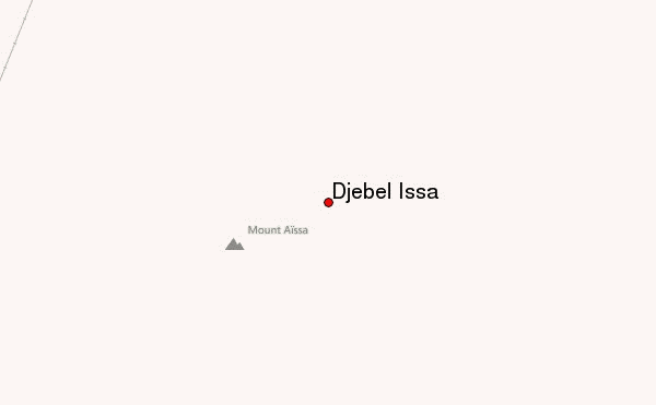
 Djebel Issa – Climbing, Hiking & Mountaineering information

Djebel Issa Guide
- Elevation: 1600
- Difficulty: -
- Best months to climb: -
- Convenient center: -
Djebel Issa climbers NotesBe the first to submit your climbers note! Please submit any useful information about climbing Djebel Issa that may be useful to other climbers. Consider things such as access and accommodation at the base of Djebel Issa, as well as the logistics of climbing to the summit. |
| Select a
mountain summit from the menu |
||
|
Select a Mountain Summit
|
||
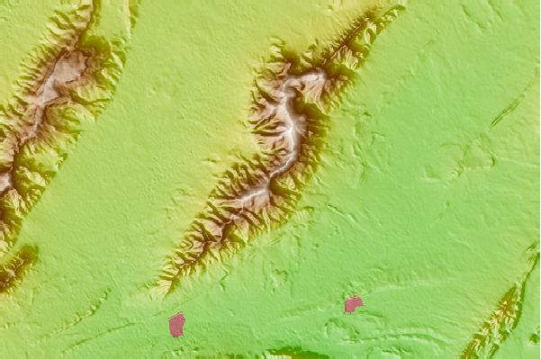

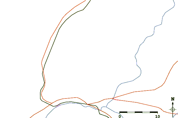
Use this relief map to navigate to mountain peaks in the area of Djebel Issa.
10 other mountain peaks closest to Djebel Issa:
| 1. | Refugio ZARBA CORTIJO DE (1215 m) | 490.9 km |
| 2. | Refugio PIORNO EL (1450 m) | 492.6 km |
| 3. | Refugio BALSA DEL SABINAR (1839 m) | 495.8 km |
| 4. | Cortijo Patena (1850 m) | 498.1 km |
| 5. | Minas de Pozo Lupión (1920 m) | 498.6 km |
| 6. | La Corraliza de Balsa Bermeja (1710 m) | 499.3 km |
| 7. | Refugio Lavaderos del Segundo (1375 m) | 500.1 km |
| 8. | Refugio COLORAOS LOS (2085 m) | 500.7 km |
| 9. | Refugio ALCOHOLERA LA (1820 m) | 512.4 km |
| 10. | Refugio Peñon de la Polarda (2180 m) | 513.7 km |