– Lat/Long: 46.81° N 95.78° W
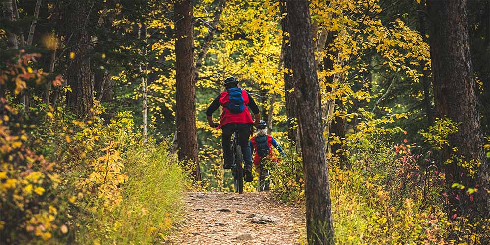
 Detroit Mountain Recreation Area Bike Park
Weather Forecast, United StatesIssued: 6 pm Sun 24 May Local TimeUpdates in: hr min sUpdate imminent
Issued: 6 pm Sun 24 May Local Time
Updates in:
Update imminent hr min s

Issued: 6 pm Sun 24 May Local Time
Updates in:
Update imminent hr min s
Days 1–4 Weather SummaryLight rain (total 7mm), mostly falling on Sun night. Warm (max 27°C on Mon afternoon, min 16°C on Sun night). Wind will be generally light. | Days 5–7 Weather SummaryMostly dry. Warm (max 27°C on Wed afternoon, min 12°C on Fri night). Wind will be generally light. | ||||||||||||||||
Sun 24 | Monday 25 | Tuesday 26 | Wednesday 27 | Thursday 28 | Friday 29 | ||||||||||||
PM | night | AM | PM | night | AM | PM | night | AM | PM | night | AM | PM | night | AM | PM | night | |
some clouds | rain shwrs | some clouds | some clouds | clear | clear | clear | risk tstorm | clear | clear | clear | clear | clear | some clouds | light rain | cloudy | rain shwrs | |
km/h | |||||||||||||||||
 |  |  |  |  |  | ||||||||||||
— | — | — | — | — | — | — | — | — | — | — | — | — | — | — | — | — | |
— | 4 | — | — | — | — | — | 2 | — | — | — | — | — | — | 0.5 | — | 0.1 | |
max °C | 23 | 17 | 25 | 27 | 23 | 27 | 27 | 23 | 26 | 27 | 22 | 25 | 26 | 22 | 23 | 24 | 17 |
min °C | 23 | 16 | 22 | 26 | 19 | 24 | 26 | 20 | 23 | 27 | 17 | 22 | 26 | 20 | 22 | 21 | 12 |
23 | 15 | 22 | 26 | 19 | 24 | 26 | 20 | 23 | 27 | 16 | 22 | 26 | 20 | 22 | 21 | 10 | |
3100 | 3250 | 3600 | 3800 | 3900 | 3950 | 4100 | 4100 | 4100 | 4150 | 4250 | 4150 | 4200 | 4250 | 4100 | 4000 | 3900 | |
Cloud base (m) | 4550 | 7150 | 4150 | 4650 | 9650 | 9350 | 6850 | 6350 | 6500 | ||||||||
— | — | 5:37 | — | — | 5:35 | — | — | 5:35 | — | — | 5:35 | — | — | 5:33 | — | — | |
9:01 | — | — | 9:02 | — | — | 9:04 | — | — | 9:05 | — | — | 9:06 | — | — | 9:07 | — | |
Loading...
Detroit Mountain Recreation Area Weather (Days 0-3):
The weather forecast for Detroit Mountain Recreation Area is: Light rain (total 7mm), mostly falling on Sun night. Warm (max 27°C on Mon afternoon, min 16°C on Sun night). Wind will be generally light.
Detroit Mountain Recreation Area Weather (Days 3-6):
Mostly dry. Warm (max 27°C on Wed afternoon, min 12°C on Fri night). Wind will be generally light.
This table gives the weather forecast for Detroit Mountain Recreation Area at the specific elevation of 499 m. Our advanced weather models allow us to provide distinct weather forecasts for several elevations of Detroit Mountain Recreation Area. To see the weather forecasts for the other elevations, use the tab navigation above the table. For a wider overview of the weather, consult the Weather Map of Minnesota.
| Weather Station | Temp. | Weather | Wind | Gusts | Cloud / Visibility |
|---|---|---|---|---|---|
Detroit Lakes Airport | |||||
Park Rapids Airport | |||||
Wadena Municipal Airport | |||||
Fergus Falls Airport |
* NOTE: not all weather observatories update at the same frequency which is the reason why some locations may show data from stations that are further away than known closer ones.