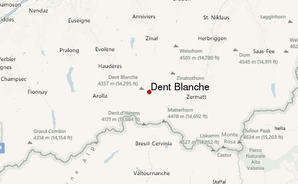
– Lat/Long: 46.03° N 7.62° E
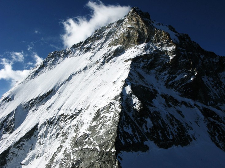
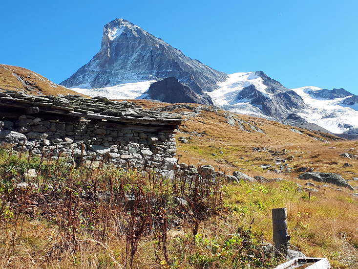
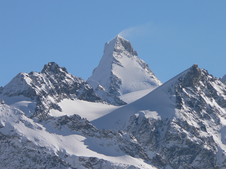
 Dent Blanche – Climbing, Hiking & Mountaineering information

Dent Blanche Guide
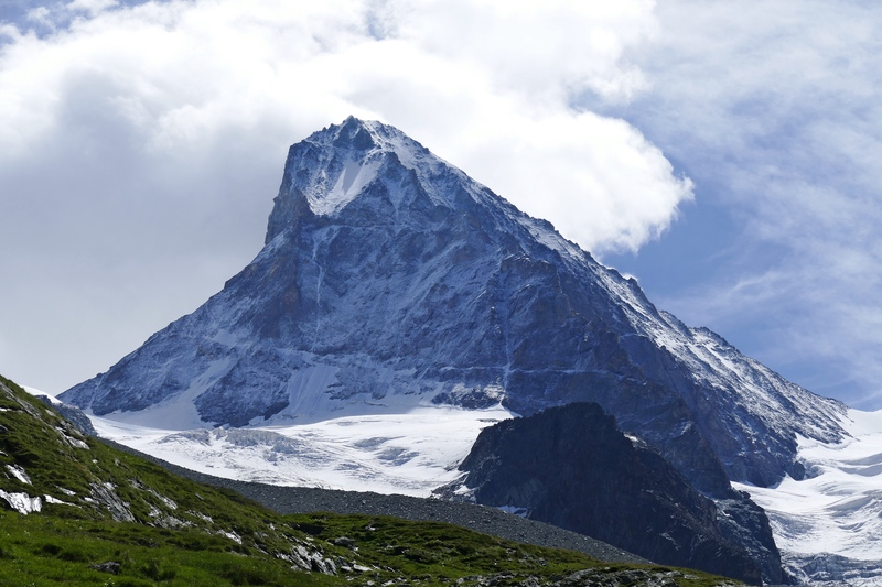
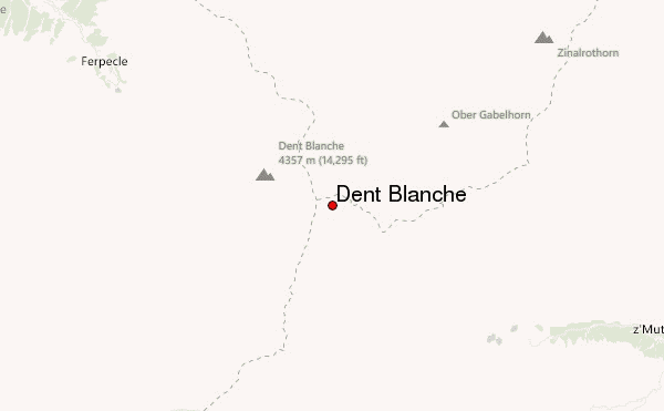
- Elevation: 4356
- Difficulty: Technical Climb
- Best months to climb: July, August, September
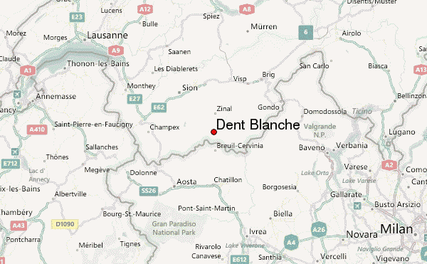
- Convenient center: Les Haudëres, Switzerland
Dent Blanche climbers NotesBe the first to submit your climbers note! Please submit any useful information about climbing Dent Blanche that may be useful to other climbers. Consider things such as access and accommodation at the base of Dent Blanche, as well as the logistics of climbing to the summit. |
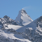
Latest Gallery Images for Dent Blanche

| Select a
mountain summit from the menu |
||
|
Select a Mountain Summit
|
||
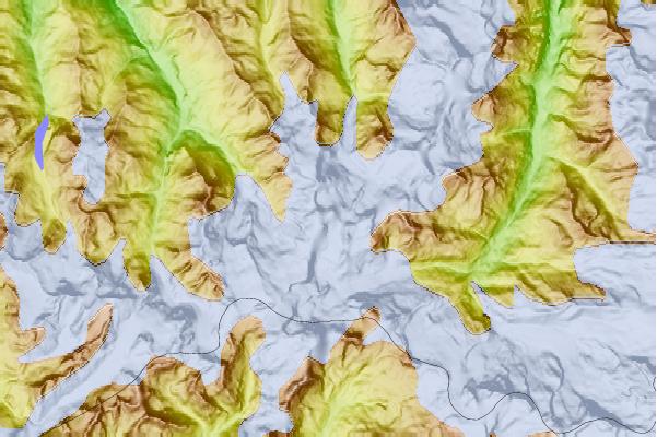
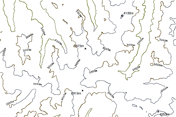
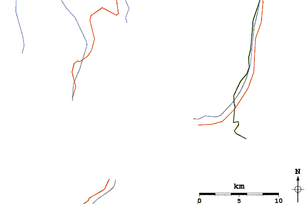
Use this relief map to navigate to mountain peaks in the area of Dent Blanche.
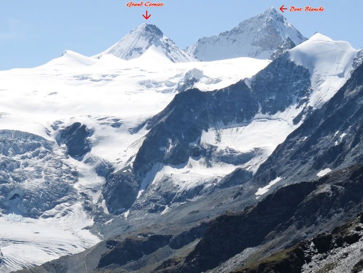
10 other mountain peaks closest to Dent Blanche:
| 1. | Bivouac au Col de la Dent Blanche CAS (3540 m) | 1.2 km |
| 2. | Pointe de Zinal (3789 m) | 1.3 km |
| 3. | Cabane de la Dent Blanche CAS (3507 m) | 1.9 km |
| 4. | Dent Blanche Hut (3507 m) | 1.9 km |
| 5. | Grand Cornier (3961 m) | 2.1 km |
| 6. | Mont Durand (3713 m) | 2.7 km |
| 7. | Schönbielhütte SAC (2694 m) | 3.6 km |
| 8. | Wandfluehorn (3589 m) | 3.7 km |
| 9. | Pointe de Bricola (3658 m) | 3.7 km |
| 10. | Arbenbiwak SAC (3225 m) | 3.8 km |