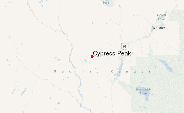
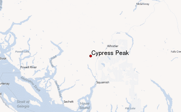
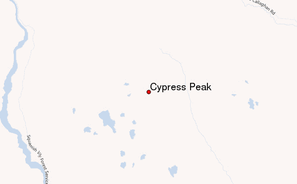
– Lat/Long: 50.04° N 123.25° W
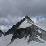
 Cypress Peak – Climbing, Hiking & Mountaineering information

Cypress Peak Guide
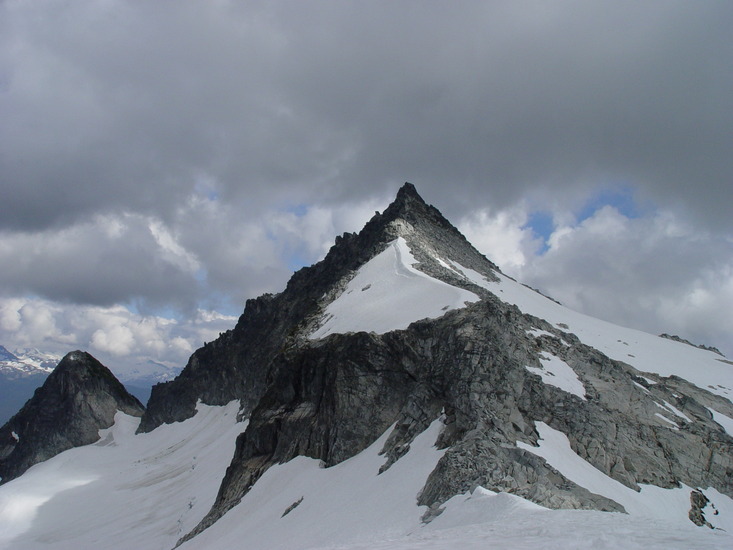
- Elevation: 2308
- Difficulty: -
- Best months to climb: -
- Convenient center: -
Cypress Peak climbers Notes
Click here to submit your own climbing note for Cypress Peak |
| Select a
mountain summit from the menu |
||
|
Select a Mountain Summit
|
||
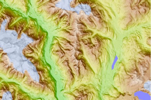
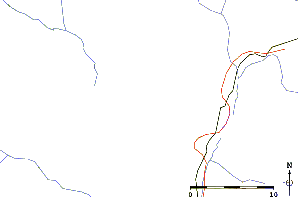
Use this relief map to navigate to mountain peaks in the area of Cypress Peak.
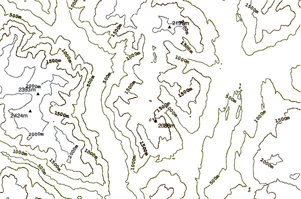
10 other mountain peaks closest to Cypress Peak:
| 1. | Tricouni Peak (2122 m) | 2.6 km |
| 2. | Mount Brew (Cheakamus River) (1757 m) | 4.7 km |
| 3. | Mount Fee (2162 m) | 5.4 km |
| 4. | Brandywine Mountain (2213 m) | 9.1 km |
| 5. | Pyroclastic Peak (2349 m) | 9.1 km |
| 6. | Mount Cayley (2377 m) | 9.7 km |
| 7. | Pali Dome (2250 m) | 10.5 km |
| 8. | Powder Mountain (British Columbia) (2347 m) | 12.5 km |
| 9. | Black Tusk (2319 m) | 16.5 km |
| 10. | Cinder Cone (British Columbia) (1910 m) | 19.0 km |