– Lat/Long: 32.95° N 116.61° W
 Cuyamaca Peak
Weather Forecast, United StatesIssued: 10 am Sat 01 Aug Local TimeUpdates in: hr min sUpdate imminent
Issued: 10 am Sat 01 Aug Local Time
Updates in:
Update imminent hr min s

Issued: 10 am Sat 01 Aug Local Time
Updates in:
Update imminent hr min s
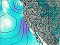
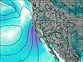
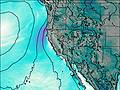
Days 1–3 Weather SummaryMostly dry. Warm (max 26°C on Sat morning, min 25°C on Sat morning). Wind will be generally light. | Days 4–6 Weather SummaryMostly dry. Warm (max 26°C on Tue afternoon, min 22°C on Thu night). Wind will be generally light. | |||||||||||||||||
Saturday 1 | Sunday 2 | Monday 3 | Tuesday 4 | Wednesday 5 | Thursday 6 | |||||||||||||
AM | PM | night | AM | PM | night | AM | PM | night | AM | PM | night | AM | PM | night | AM | PM | night | |
clear | clear | clear | clear | clear | clear | clear | clear | clear | clear | clear | clear | clear | clear | clear | clear | rain shwrs | clear | |
Cloud base (m) | 5700 | 5450 | 5450 | |||||||||||||||
km/h | ||||||||||||||||||
 |  |  |  |  |  | |||||||||||||
— | — | — | — | — | — | — | — | — | — | — | — | — | — | — | — | — | — | |
mm | — | — | — | — | — | — | — | — | — | — | — | — | — | — | — | — | 0.1 | — |
max °C | 26 | 26 | 26 | 26 | 26 | 25 | 25 | 26 | 25 | 25 | 26 | 25 | 25 | 25 | 25 | 24 | 24 | 24 |
min °C | 25 | 25 | 26 | 26 | 25 | 25 | 25 | 25 | 25 | 25 | 24 | 24 | 24 | 25 | 24 | 23 | 23 | 22 |
chill °C | 25 | 25 | 26 | 26 | 25 | 25 | 25 | 25 | 25 | 25 | 24 | 24 | 24 | 25 | 24 | 23 | 23 | 22 |
Freezing level m | 5550 | 5600 | 5650 | 5500 | 5600 | 5650 | 5550 | 5600 | 5600 | 5500 | 5550 | 5500 | 5550 | 5550 | 5500 | 5450 | 5350 | 5350 |
5:58 | — | — | 6:00 | — | — | 6:01 | — | — | 6:01 | — | — | 6:01 | — | — | 6:03 | — | — | |
— | 7:45 | — | — | 7:44 | — | — | 7:43 | — | — | 7:42 | — | — | 7:42 | — | — | 7:40 | — | |
Loading...
Cuyamaca Peak Weather (Days 0-3):
The weather forecast for Cuyamaca Peak is: Mostly dry. Warm (max 26°C on Sat morning, min 25°C on Sat morning). Wind will be generally light.
Cuyamaca Peak Weather (Days 3-6):
Mostly dry. Warm (max 26°C on Tue afternoon, min 22°C on Thu night). Wind will be generally light.
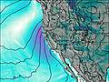
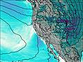
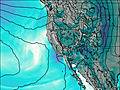
This table gives the weather forecast for Cuyamaca Peak at the specific elevation of 1985 m. Our advanced weather models allow us to provide distinct weather forecasts for several elevations of Cuyamaca Peak. To see the weather forecasts for the other elevations, use the tab navigation above the table. For a wider overview of the weather, consult the Weather Map of California.
| Weather Station | Temp. | Weather | Wind | Gusts | Cloud / Visibility |
|---|---|---|---|---|---|
Horse - SDHGPA | |||||
San Dieg / illespie Field Airport | |||||
Little Black -SDHGPA | |||||
Miramar Na / an Airport | |||||
Palomar - SDHGPA |
* NOTE: not all weather observatories update at the same frequency which is the reason why some locations may show data from stations that are further away than known closer ones.
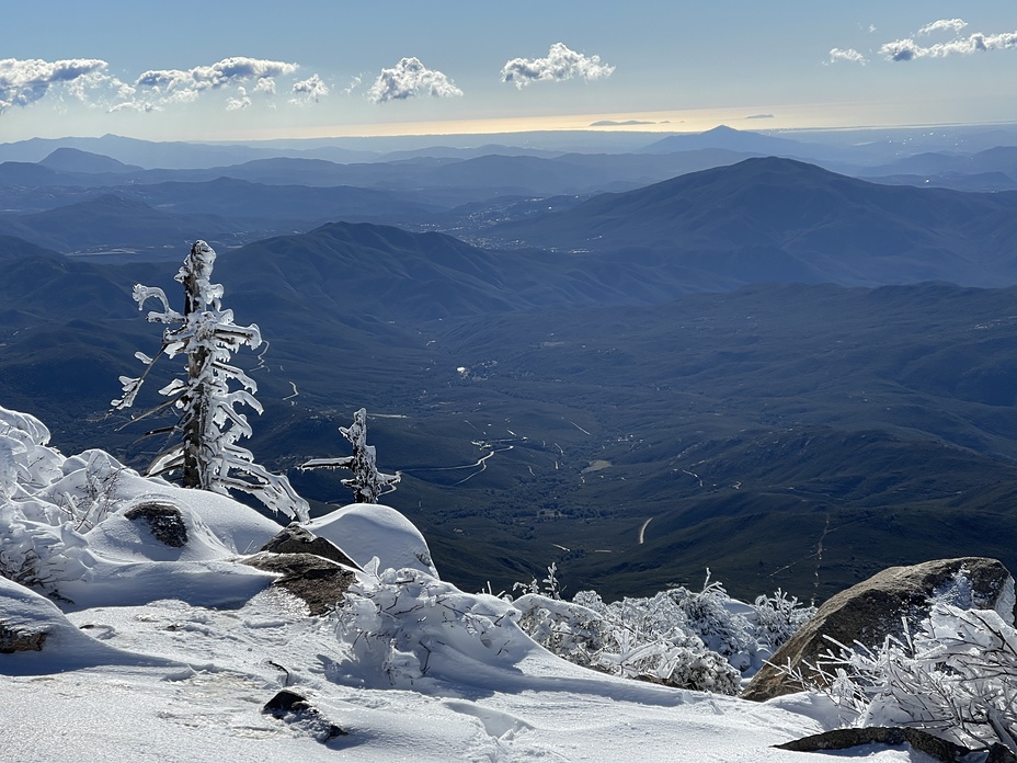
Cuyamaca Peak Photos
View all
Peninsular Ranges photos (16) |
Pacific Coast Ranges photos (1060) |
photos from mountains in United States (3056) |
all photos
 Upload new photo
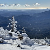
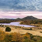
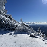
Cuyamaca Peak 2023
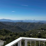
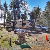
Julian Cabins
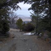
Cuyamaca Peak
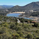
Julian Cabins Lake Cuyamaca
Julian Cabins Lake Cuyamaca
Cuyamaca Peak 2023