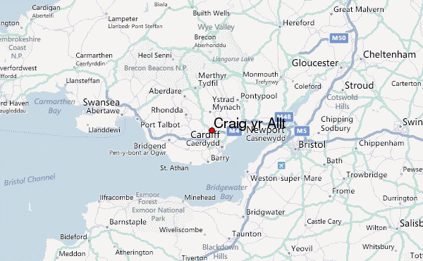
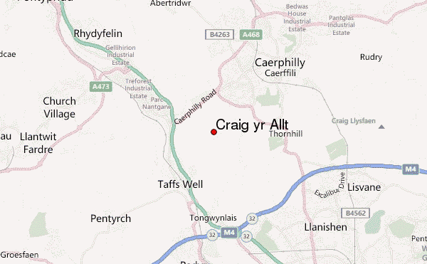
Craig yr Allt Guide
- Elevation: 273
- Difficulty: -
- Best months to climb: -
- Convenient center: -
Craig yr Allt climbers Notes
james richards from UNITED KINGDOM writes:
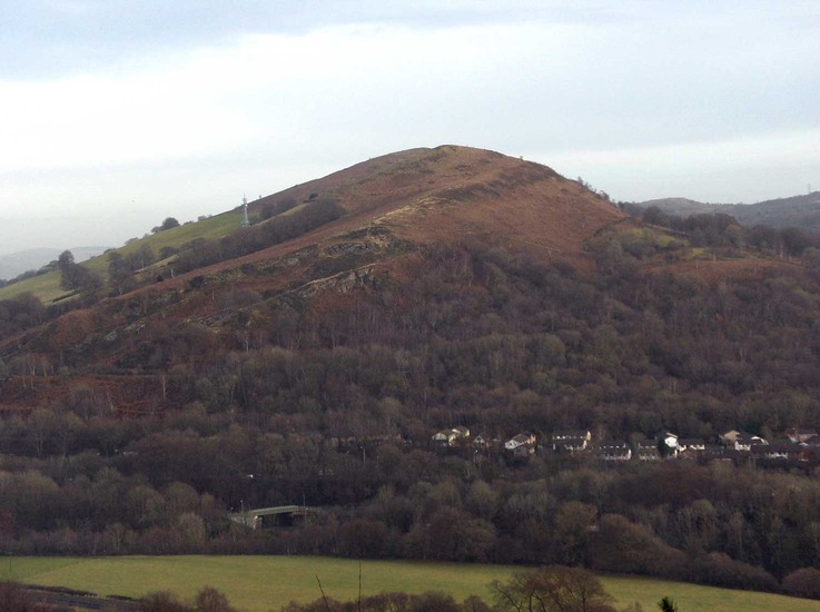
Unlike the Garth mountain, which is more popular, the Craig yr Allt is nowhere near as easy to access. It is advisable for one to find/take a train to Taffs Well Train Station, and ask locals the easiest route from there.
The climb is steeper than the Garth, and along the top it is 'narrower' and somewhat some 'eerie.'
Fantastic.
2010-12-23 |
Click here to submit your own climbing note for Craig yr Allt
|
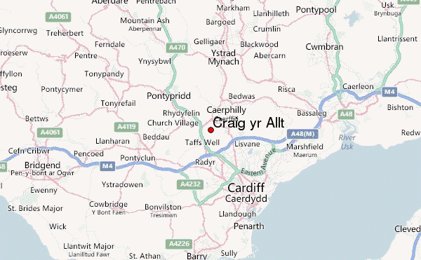
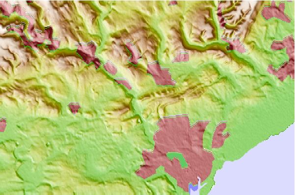
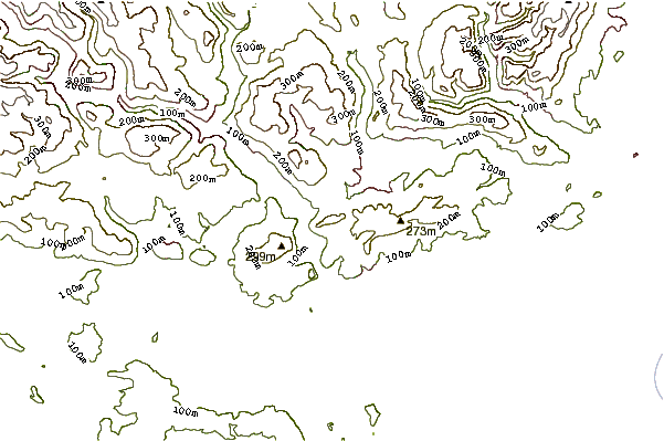
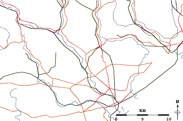
Select Craig yr Allt Location Map Detail:
Use this relief map to navigate to mountain peaks in the area of Craig yr Allt.
10 other mountain peaks closest to Craig yr Allt:
 Craig yr Allt – Climbing, Hiking & Mountaineering information

