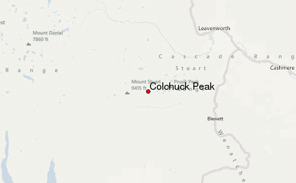
– Lat/Long: 47.48° N 120.85° W
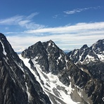
 Colchuck Peak – Climbing, Hiking & Mountaineering information

Colchuck Peak Guide
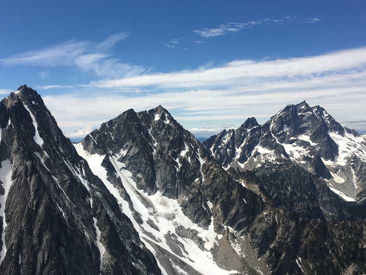
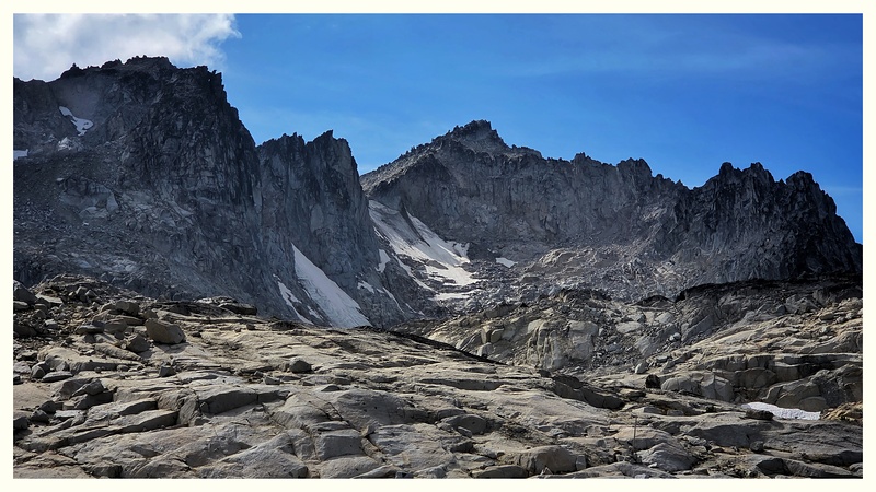
- Elevation: 2653
- Difficulty: Scramble
- Best months to climb: June, July, August, September
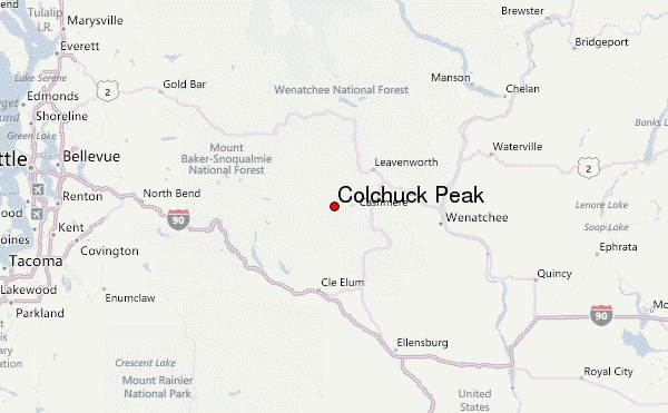
- Convenient center: Leavenworth, WA
Colchuck Peak climbers NotesBe the first to submit your climbers note! Please submit any useful information about climbing Colchuck Peak that may be useful to other climbers. Consider things such as access and accommodation at the base of Colchuck Peak, as well as the logistics of climbing to the summit. |
| Select a
mountain summit from the menu |
||
|
Select a Mountain Summit
|
||
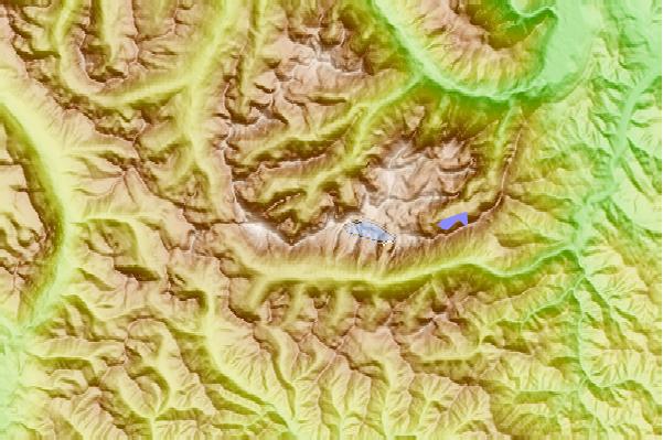
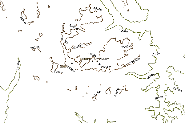
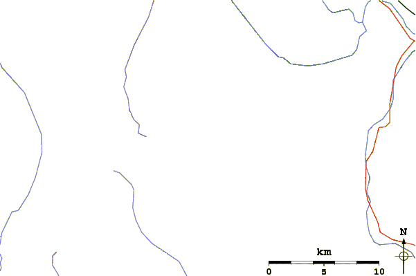
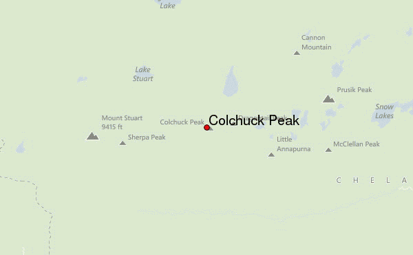
Use this relief map to navigate to mountain peaks in the area of Colchuck Peak.
10 other mountain peaks closest to Colchuck Peak:
| 1. | Dragontail Peak (2694 m) | 1.0 km |
| 2. | Argonaut Peak (2576 m) | 1.5 km |
| 3. | Little Annapurna (2573 m) | 2.6 km |
| 4. | Sherpa Peak (2623 m) | 3.2 km |
| 5. | Enchantment Peak (2515 m) | 3.5 km |
| 6. | Mount Stuart (2869 m) | 4.2 km |
| 7. | Prusik Peak (2395 m) | 4.8 km |
| 8. | Eightmile Mountain (2437 m) | 7.1 km |
| 9. | Ingalls Peak-South Ridge (2335 m) | 7.5 km |
| 10. | Cashmere Peak (2591 m) | 9.0 km |