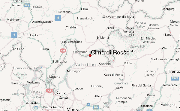
– Lat/Long: 46.31° N 9.72° E
 Cima di Rosso – Climbing, Hiking & Mountaineering information

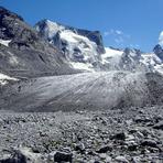
Cima di Rosso Guide
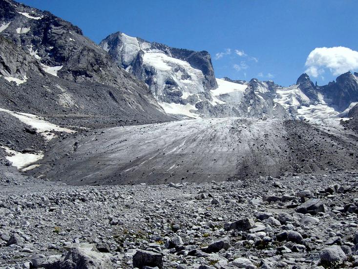
- Elevation: 3366
- Difficulty: -
- Best months to climb: -
- Convenient center: -
Cima di Rosso climbers NotesBe the first to submit your climbers note! Please submit any useful information about climbing Cima di Rosso that may be useful to other climbers. Consider things such as access and accommodation at the base of Cima di Rosso, as well as the logistics of climbing to the summit. |
| Select a
mountain summit from the menu |
||
|
Select a Mountain Summit
|
||
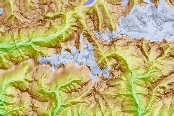
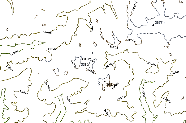
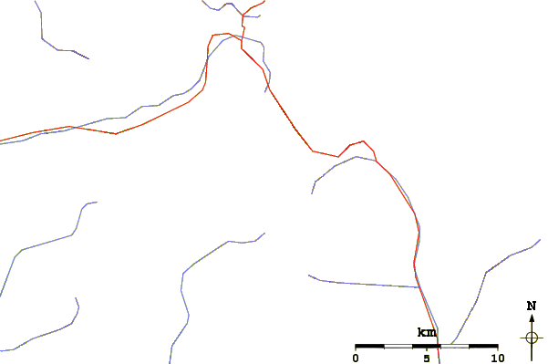
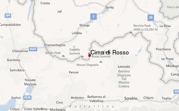
Use this relief map to navigate to mountain peaks in the area of Cima di Rosso.
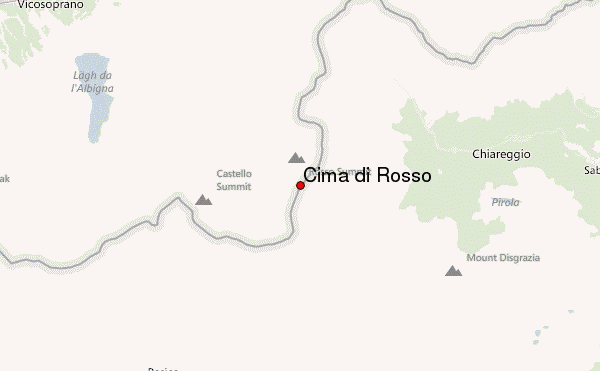
10 other mountain peaks closest to Cima di Rosso:
| 1. | Rifugio Del Grande-Camerini (2561 m) | 1.9 km |
| 2. | Capanna del Forno CAS (2574 m) | 2.9 km |
| 3. | Cima dal Cantun (3354 m) | 3.0 km |
| 4. | Cima di Castello (3375 m) | 3.2 km |
| 5. | Bivacco Manzi Pirotta (2560 m) | 3.2 km |
| 6. | Bivacco Odello Grandori (2969 m) | 3.4 km |
| 7. | Rifugio Tartaglione-Crispo CAI (1710 m) | 3.5 km |
| 8. | Monte del Forno (3214 m) | 3.6 km |
| 9. | Bivacco Kima (2669 m) | 3.8 km |
| 10. | Monte Sissone (3330 m) | 3.8 km |