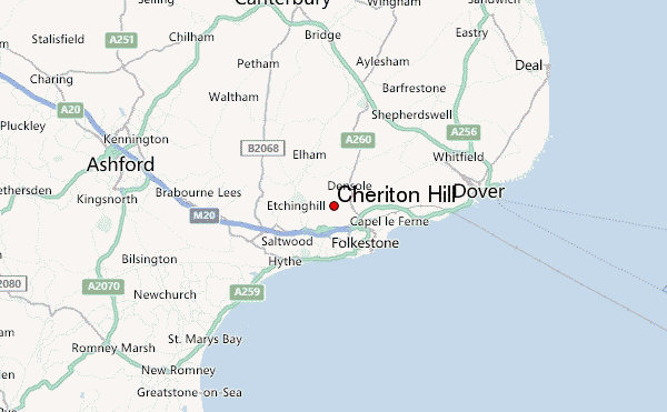
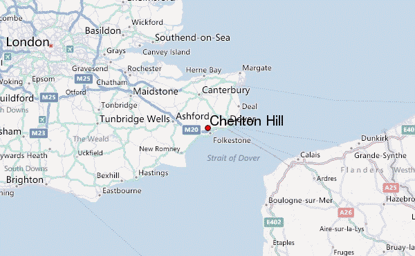
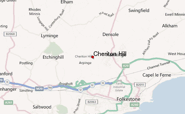
– Lat/Long: 51.11° N 1.14° E
 Cheriton Hill – Climbing, Hiking & Mountaineering information

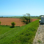
Cheriton Hill Guide
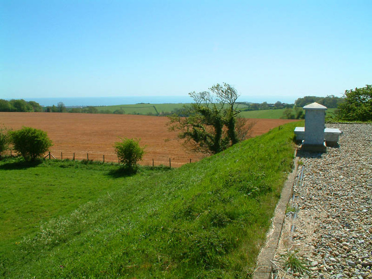
- Elevation: 188
- Difficulty: -
- Best months to climb: -
- Convenient center: -
Cheriton Hill climbers NotesBe the first to submit your climbers note! Please submit any useful information about climbing Cheriton Hill that may be useful to other climbers. Consider things such as access and accommodation at the base of Cheriton Hill, as well as the logistics of climbing to the summit. |
| Select a
mountain summit from the menu |
||
|
Select a Mountain Summit
|
||
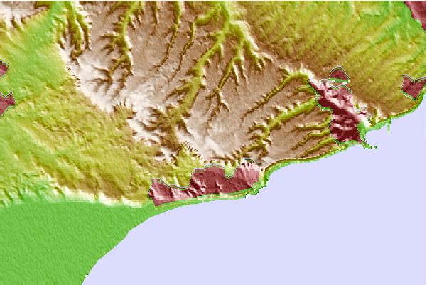
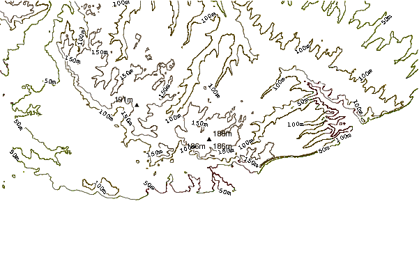
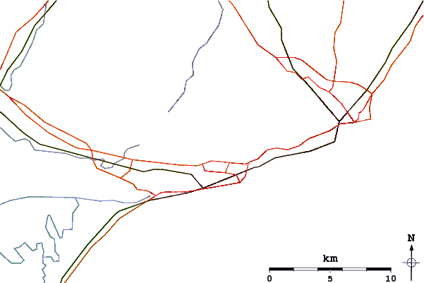
Use this relief map to navigate to mountain peaks in the area of Cheriton Hill.
10 other mountain peaks closest to Cheriton Hill:
| 1. | Detling Hill (200 m) | 43.6 km |
| 2. | Blue Bell Hill (160 m) | 51.1 km |
| 3. | Crowborough (242 m) | 68.6 km |
| 4. | Coombe Hill, East Sussex (194 m) | 72.4 km |
| 5. | Botley Hill (269 m) | 80.6 km |
| 6. | Deers Leap Bike Park (125 m) | 81.2 km |
| 7. | Cliffe Hill (164 m) | 81.5 km |
| 8. | Ditchling Beacon (248 m) | 90.4 km |
| 9. | Box Hill, Surrey (172 m) | 102.2 km |
| 10. | Twisted Oak Bike Park (26 m) | 103.1 km |