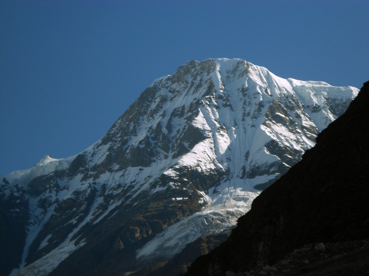
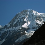
Changuch is a Himalayan mountain peak situated at the boundary of Pithoragarh and Bageshwar district of the Uttarakhand state of India. This peak is situated above the Pindari Glacier. This peak offers a ridge leading to Nanda Kot. On its massif Trail's pass is situated, which connects Pindari valley to Goriganga valley. The first successful ascent to the peak was made by an Indo-British team on June 9, 2009 at 9 am.
British Expedition of 2009 - The First recorded successful ascent
In 2009, an Indo-British expedition led by Martin Moran[1] approached the peak from Lawan Valley, an easier route compared to the one taken by previous attempts of 1987, 1997 and 2007 and made a successful ascent on June 9, 2009. Expedition's original target was Nanda Devi East. However, during the course of expedition, due to difficult conditions and lack of resources to meet original target, they shifted the target to the nearby Changuch.
Indian Expedition of 2011 - The second recorded successful ascent (First Indian ascent)
In 2011 Indian Mountaineering Foundation send an Indian expedition to the peak led by Dhruv Joshi went via Pindari glacier and 5 members made a successful ascent on June 17, 2011 at 0950 am. Expedition consisted of 8 members. The team is as follows: Dhruv Joshi (leader), Dr. Anand Vaidhya (Medical Officer), Wallambok Lyngdoh, Bharat Bhushan , Takpa Norboo, Chetan Pandey, Mahesh S Dharamsaktu & Harish Kumar. No high altitudes porters were employed in this expedition. This is the second ascent of Changuch and first Indian and first from Pindari Glacier side.
 Changuch – Climbing, Hiking & Mountaineering information