Hello, is very nice to meet other climbers in such a useful website.
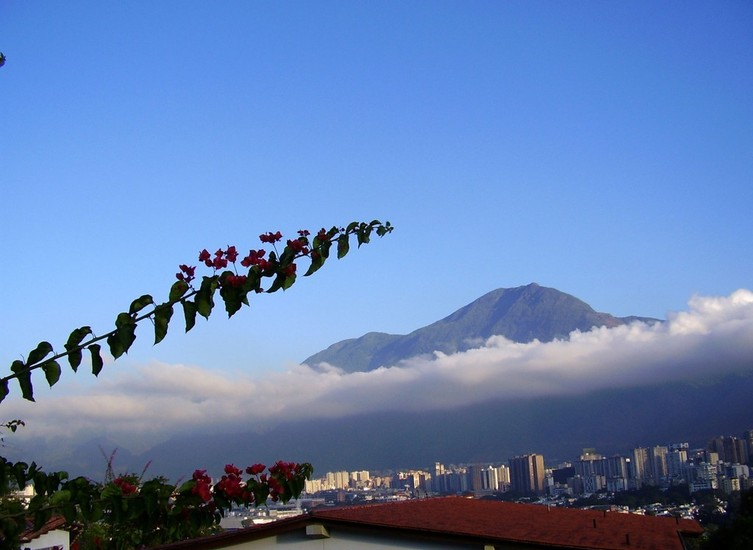
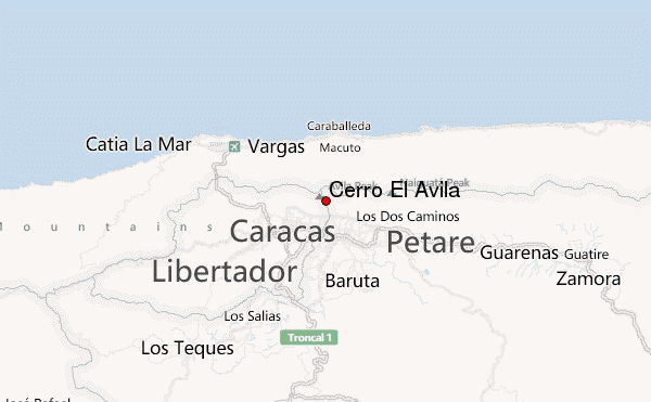
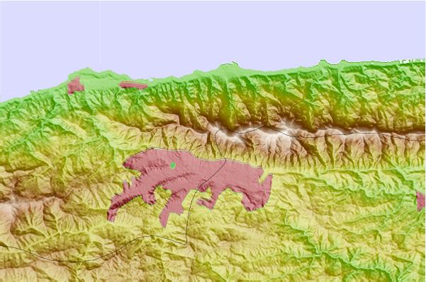
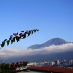
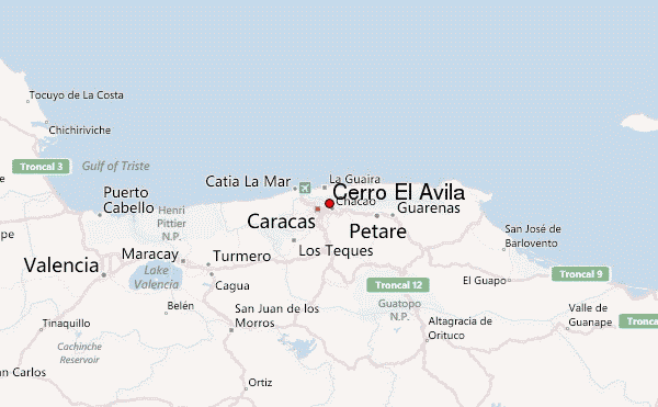
I live in Caracas just at the base of this beautiful mountain.
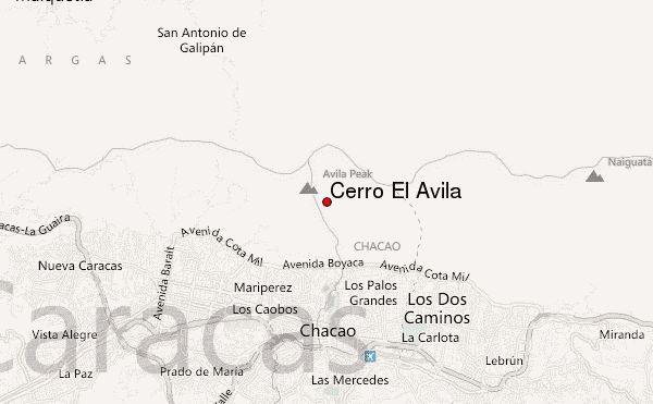
The access to the mountain is very easy offering several options, the best well known are at 'Sabas Nieves' and 'la Julia'.
As a tropical mountains it offers several places to chill also, some treks might be half and hour long to some cascades.
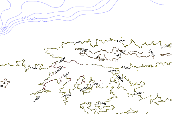
If you wish to camp, I would recommend the Pico Naiguata, which is the tallest of the mountain (2765m). Its an extremely beautiful place, with views to the Caribbean and Caracas both at the same time. Is not very cold, but at worst it could get to degrees Celsius.
Is a 12km long walk, although it is somehow challenging. With a calm walking group it might take around 7 hours to get there. Just so you know, taking a small backpack with you you can go and come back in one day.
No especial equipment needed, just nice vibes and a lot of love to reach it, the views on the top are absolutely amazing.
 Cerro El Ávila (Cerro El Avila) – Climbing, Hiking & Mountaineering information