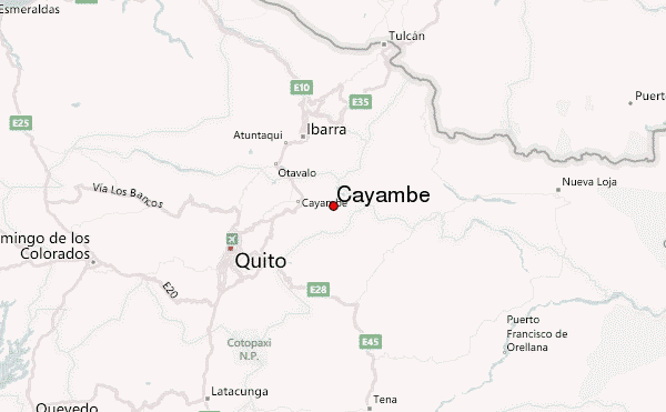
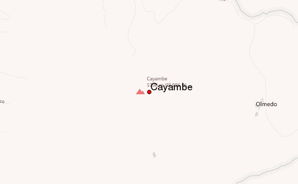
– Lat/Long: 0.03° N 77.99° W


Cayambe Mountain Information
Ecuador Andes · Ecuador
Cayambe Guide
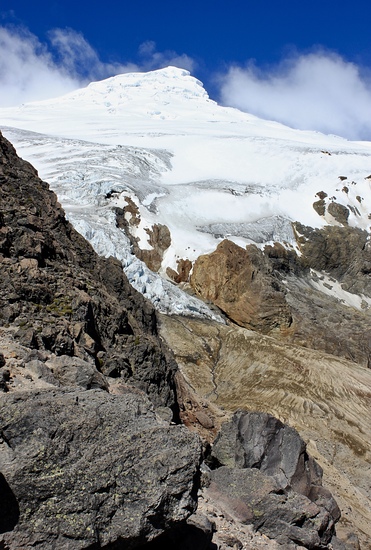
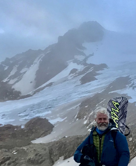
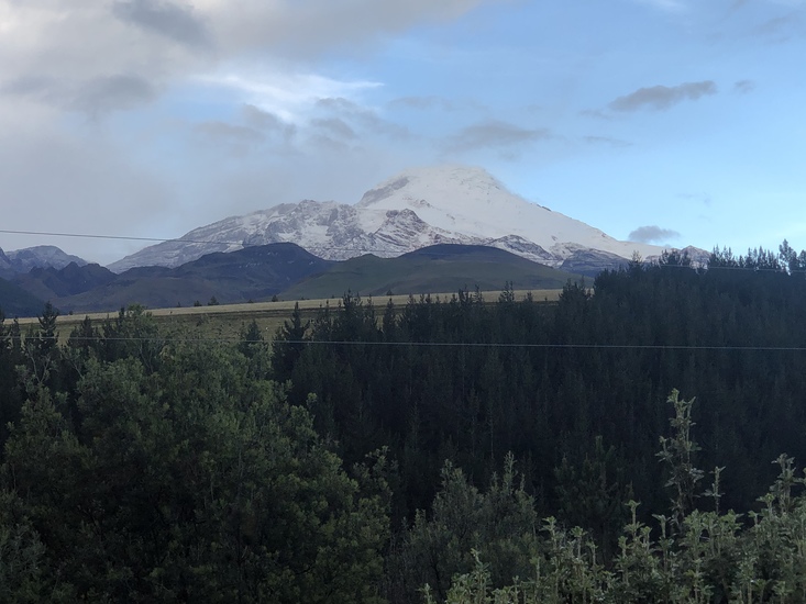
- Elevation: 5790
- Difficulty: Basic Snow and Ice Climb
- Best months to climb: October, November, December, January
- Convenient center: Cayambe, Ecuador
Cayambe climbers Notes
|
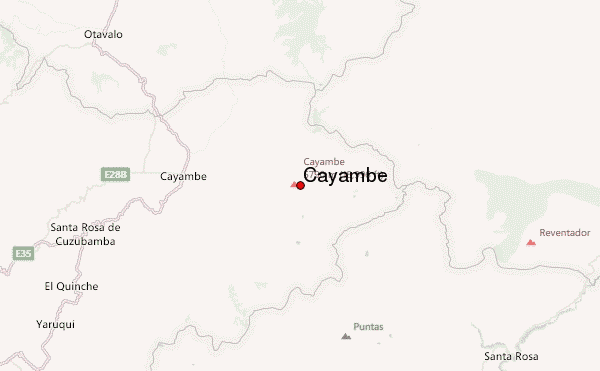
| Select a
mountain summit from the menu |
||
|
Select a Mountain Summit
|
||
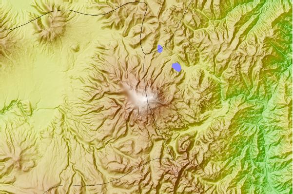
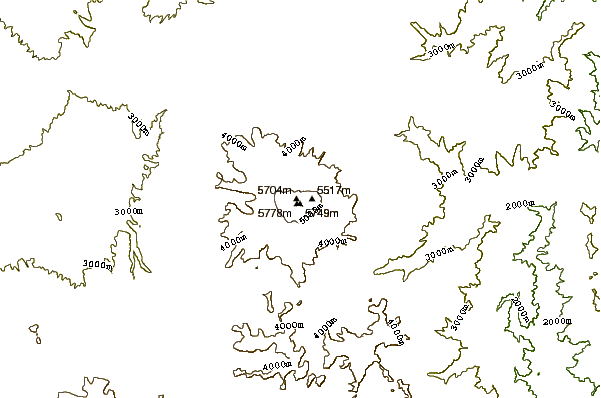
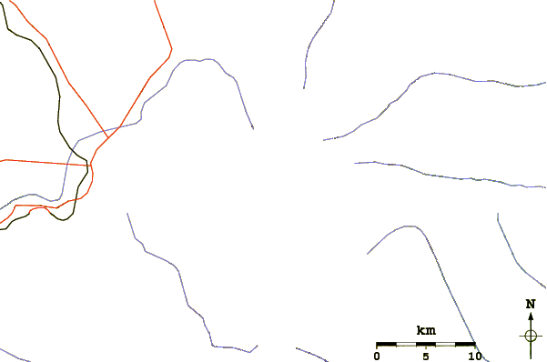
Use this relief map to navigate to mountain peaks in the area of Cayambe.
10 other mountain peaks closest to Cayambe:
| 1. | Cayambe (volcano) (5790 m) | 0.0 km |
| 2. | Cerro Puntas (4452 m) | 29.4 km |
| 3. | Imbabura Volcano (4630 m) | 33.4 km |
| 4. | Mojanda (4263 m) | 33.5 km |
| 5. | Reventador (3562 m) | 38.6 km |
| 6. | Sucre (3753 m) | 41.0 km |
| 7. | Papallacta Pass (4064 m) | 43.5 km |
| 8. | Cuicocha (3246 m) | 52.3 km |
| 9. | Pululagua (3356 m) | 53.1 km |
| 10. | Chacana (4643 m) | 53.7 km |