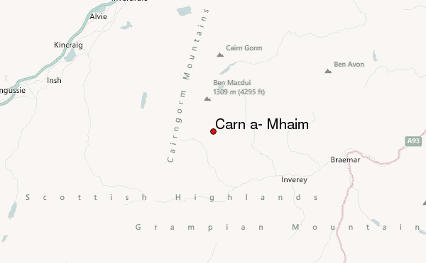
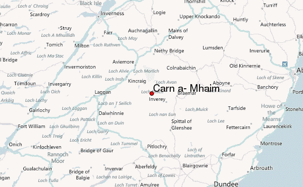
– Lat/Long: 57.04° N 3.66° W
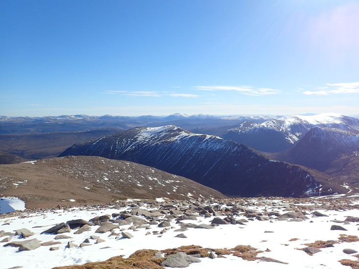
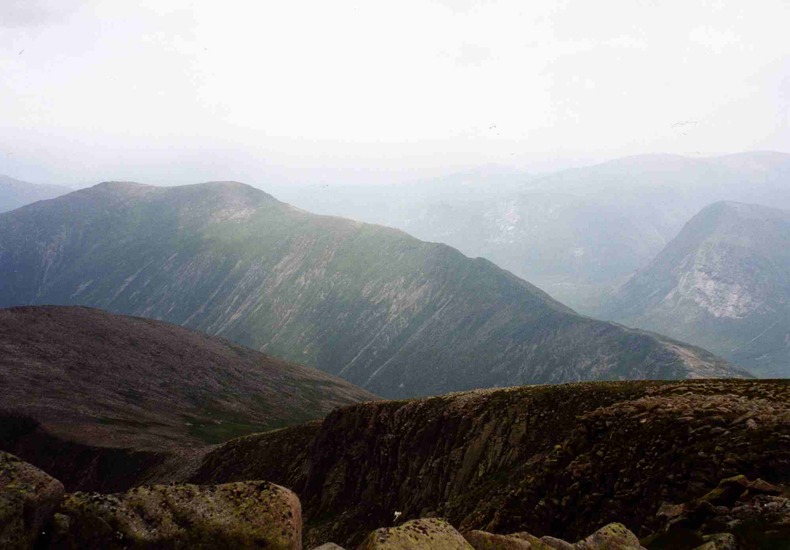
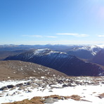
 Càrn a' Mhàim (Carn a- Mhaim) – Climbing, Hiking & Mountaineering information

Càrn a' Mhàim Guide
- Elevation: 1037
- Difficulty: -
- Best months to climb: -
- Convenient center: -
Càrn a' Mhàim climbers NotesBe the first to submit your climbers note! Please submit any useful information about climbing Càrn a' Mhàim that may be useful to other climbers. Consider things such as access and accommodation at the base of Càrn a' Mhàim, as well as the logistics of climbing to the summit. |
| Select a
mountain summit from the menu |
||
|
Select a Mountain Summit
|
||
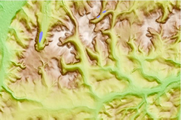
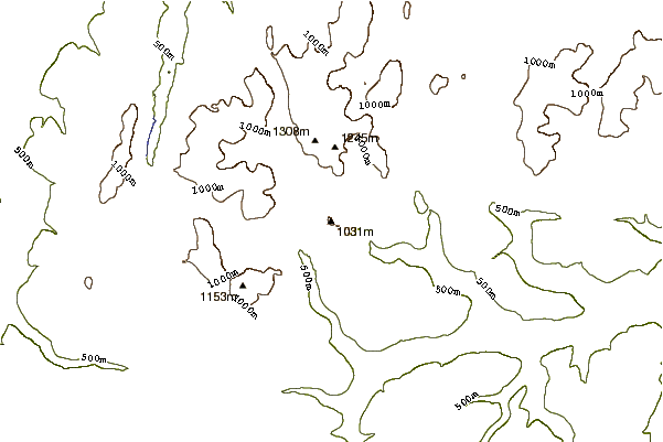
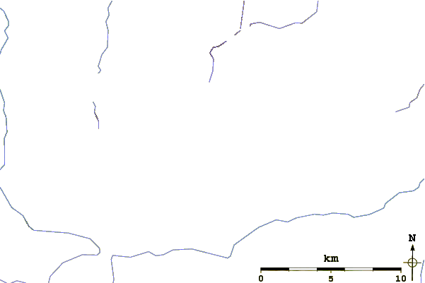
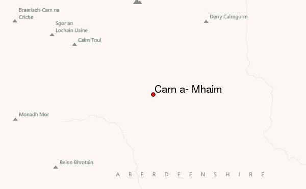
Use this relief map to navigate to mountain peaks in the area of Càrn a' Mhàim.
10 other mountain peaks closest to Càrn a' Mhàim:
| 1. | Corrour Bothy (564 m) | 1.6 km |
| 2. | The Devil's Point (1004 m) | 1.9 km |
| 3. | Derry Cairngorm (1155 m) | 3.6 km |
| 4. | Cairn Toul (1291 m) | 3.8 km |
| 5. | Ben Macdui (1309 m) | 4.0 km |
| 6. | Beinn Bhrotain (1157 m) | 4.2 km |
| 7. | Sgor an Lochain Uaine (1258 m) | 4.8 km |
| 8. | Garbh Choire Refuge (689 m) | 5.1 km |
| 9. | Hutchison Memorial Hut (747 m) | 5.4 km |
| 10. | Braeriach (1296 m) | 6.4 km |