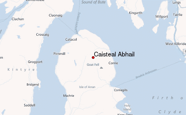
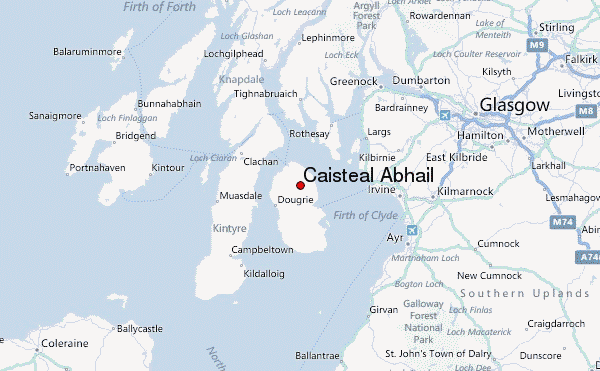
– Lat/Long: 55.65° N 5.23° W
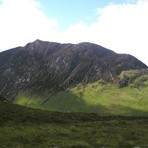
 Caisteal Abhail – Climbing, Hiking & Mountaineering information

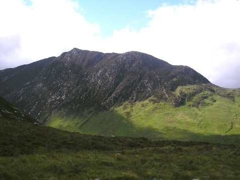
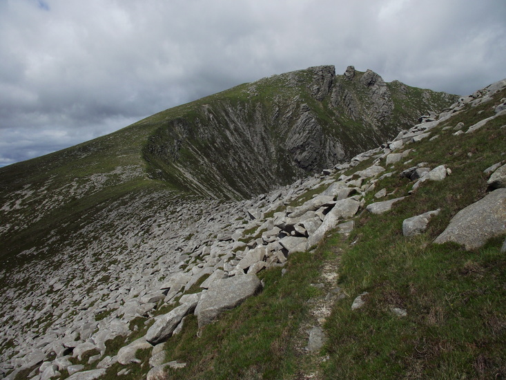
Caisteal Abhail Guide
- Elevation: 859
- Difficulty: -
- Best months to climb: -
- Convenient center: -
Caisteal Abhail climbers NotesBe the first to submit your climbers note! Please submit any useful information about climbing Caisteal Abhail that may be useful to other climbers. Consider things such as access and accommodation at the base of Caisteal Abhail, as well as the logistics of climbing to the summit. |
| Select a
mountain summit from the menu |
||
|
Select a Mountain Summit
|
||
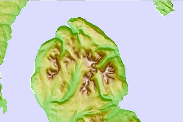
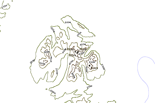
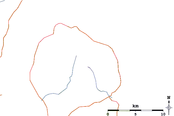
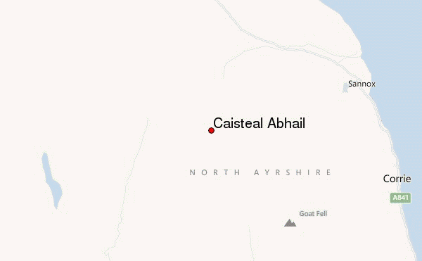
Use this relief map to navigate to mountain peaks in the area of Caisteal Abhail.
10 other mountain peaks closest to Caisteal Abhail:
| 1. | Cìr Mhòr (799 m) | 1.3 km |
| 2. | Beinn Tarsuinn (Corbett) (826 m) | 3.3 km |
| 3. | Goat Fell (874 m) | 3.7 km |
| 4. | Creag Ghlas Laggan (444 m) | 5.4 km |
| 5. | Holy Isle, Firth of Clyde (314 m) | 17.2 km |
| 6. | Tighvein (458 m) | 17.3 km |
| 7. | Hill of Stake (522 m) | 34.4 km |
| 8. | Beinn Mhòr (Cowal) (741 m) | 48.3 km |
| 9. | Beinn Shiantaidh (757 m) | 54.6 km |
| 10. | Beinn Bheigeir (Islay) (491 m) | 55.1 km |