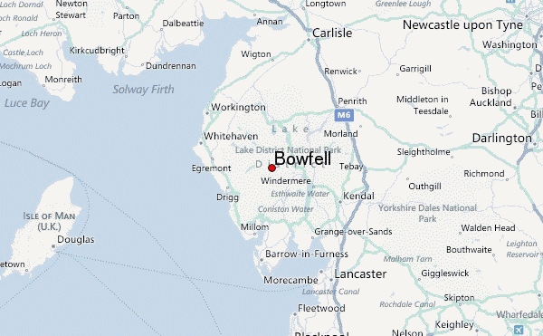
– Lat/Long: 54.45° N 3.17° W
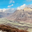
 Bowfell – Climbing, Hiking & Mountaineering information

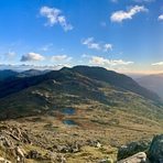
Bowfell Guide
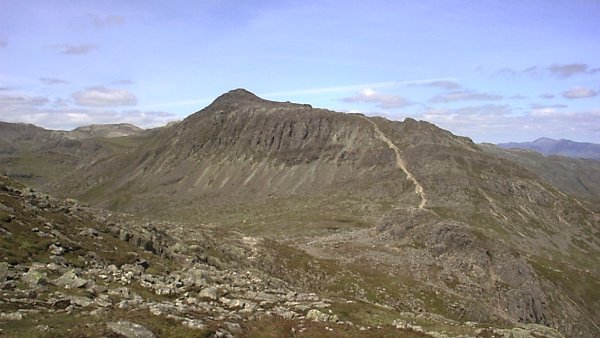
- Elevation: 902
- Difficulty: Walk up
- Best months to climb: January, February, April, May, June, July, August, September, October, November, December
- Convenient center: Ambleside
Bowfell climbers NotesBe the first to submit your climbers note! Please submit any useful information about climbing Bowfell that may be useful to other climbers. Consider things such as access and accommodation at the base of Bowfell, as well as the logistics of climbing to the summit. |
| Select a
mountain summit from the menu |
||
|
Select a Mountain Summit
|
||
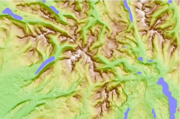
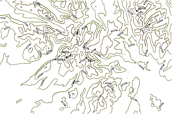
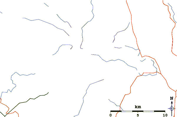
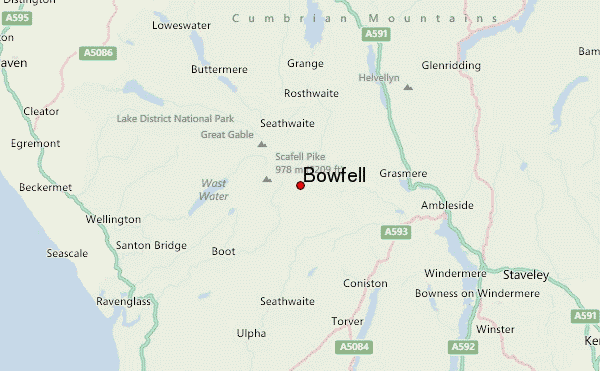
Use this relief map to navigate to mountain peaks in the area of Bowfell.
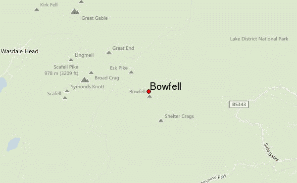
10 other mountain peaks closest to Bowfell:
| 1. | Rossett Pike (651 m) | 1.1 km |
| 2. | Esk Pike (885 m) | 1.1 km |
| 3. | Crinkle Crags (859 m) | 1.9 km |
| 4. | Allen Crags (785 m) | 2.1 km |
| 5. | Ill Crag (935 m) | 2.2 km |
| 6. | Great End (910 m) | 2.5 km |
| 7. | Broad Crag (934 m) | 2.8 km |
| 8. | Pike of Stickle (709 m) | 2.9 km |
| 9. | Scafell Pike (978 m) | 3.0 km |
| 10. | Scafell (964 m) | 3.2 km |