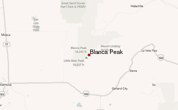
– Lat/Long: 37.58° N 105.48° W
 Blanca Peak – Climbing, Hiking & Mountaineering information

Blanca Peak Guide
- Elevation: 4372
- Difficulty: Scramble
- Best months to climb: June, July, August
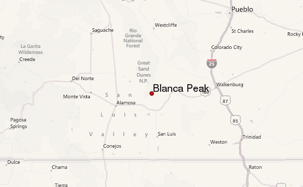
- Convenient center: Fort Garland, Blanca, or Alamosa, CO
Blanca Peak climbers NotesBe the first to submit your climbers note! Please submit any useful information about climbing Blanca Peak that may be useful to other climbers. Consider things such as access and accommodation at the base of Blanca Peak, as well as the logistics of climbing to the summit. |
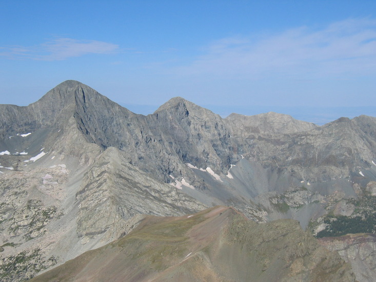
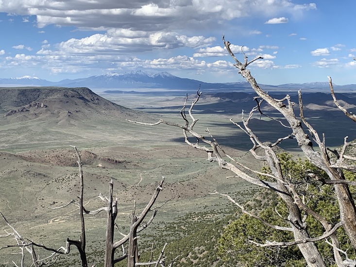
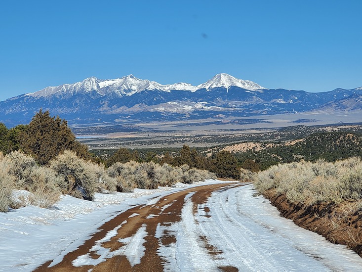
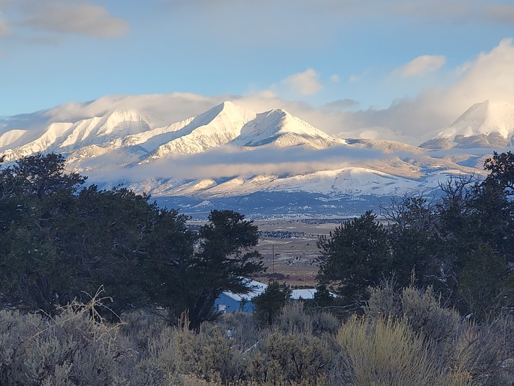
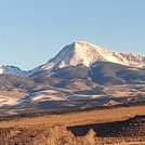
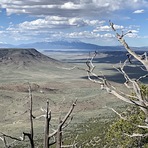
Latest Gallery Images for Blanca Peak
| Select a
mountain summit from the menu |
||
|
Select a Mountain Summit
|
||
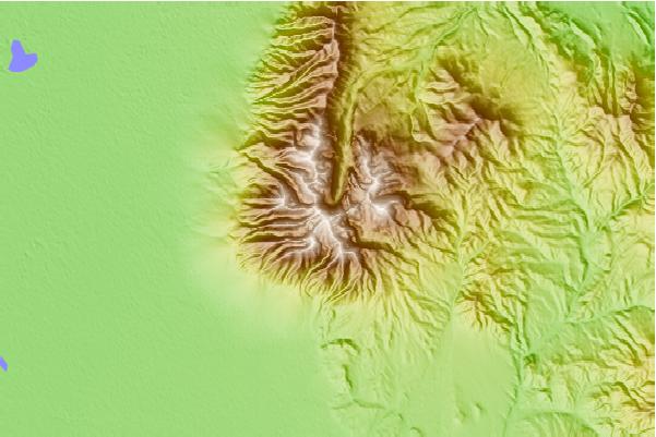
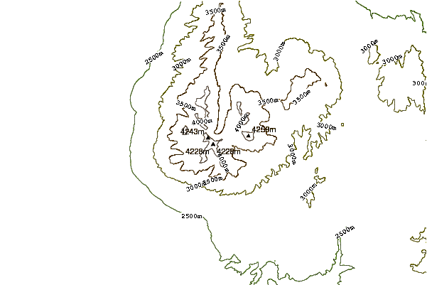
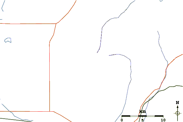
Use this relief map to navigate to mountain peaks in the area of Blanca Peak.
10 other mountain peaks closest to Blanca Peak:
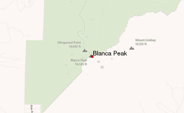
| 1. | Ellingwood Point (4280 m) | 0.9 km |
| 2. | Little Bear Peak (4279 m) | 1.6 km |
| 3. | Mount Lindsey (4280 m) | 4.1 km |
| 4. | California Peak (4221 m) | 4.6 km |
| 5. | Un 13-828 (4215 m) | 5.2 km |
| 6. | Tijeras Peak (4147 m) | 38.9 km |
| 7. | Crestone Needle (4327 m) | 43.9 km |
| 8. | Crestone Peak (4357 m) | 44.2 km |
| 9. | Humboldt Peak (4287 m) | 44.8 km |
| 10. | Columbia Point (4261 m) | 45.8 km |