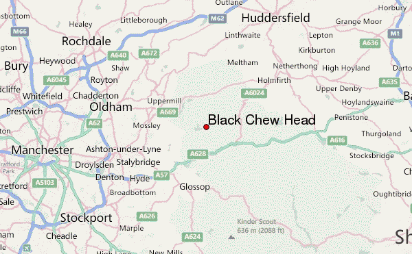
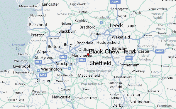
– Lat/Long: 53.52° N 1.92° W
 Black Chew Head – Climbing, Hiking & Mountaineering information

Black Chew Head Guide
- Elevation: 542
- Difficulty: -
- Best months to climb: -
- Convenient center: -
Black Chew Head climbers NotesBe the first to submit your climbers note! Please submit any useful information about climbing Black Chew Head that may be useful to other climbers. Consider things such as access and accommodation at the base of Black Chew Head, as well as the logistics of climbing to the summit. |
| Select a
mountain summit from the menu |
||
|
Select a Mountain Summit
|
||
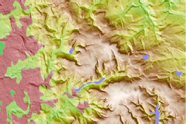
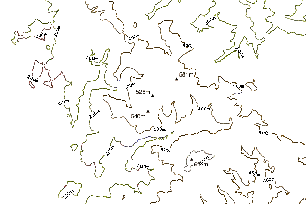
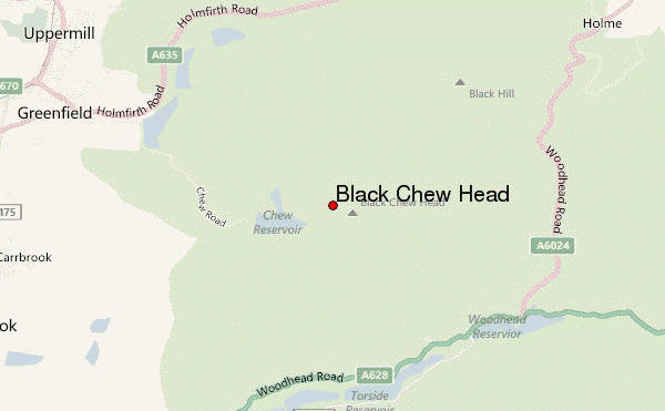
Use this relief map to navigate to mountain peaks in the area of Black Chew Head.
10 other mountain peaks closest to Black Chew Head:
| 1. | Harridge Pike (395 m) | 6.3 km |
| 2. | Black Hill (582 m) | 7.0 km |
| 3. | Bleaklow (633 m) | 7.4 km |
| 4. | Wild Bank (399 m) | 7.7 km |
| 5. | Crompton Moor (391 m) | 12.4 km |
| 6. | Werneth Low (279 m) | 12.6 km |
| 7. | Farmer Johns MTB Park (176 m) | 14.1 km |
| 8. | Lantern Pike (373 m) | 14.3 km |
| 9. | Windy Hill (Pennines) (413 m) | 14.3 km |
| 10. | Margery Hill (546 m) | 15.0 km |