– Lat/Long: 58.24° N 4.41° W
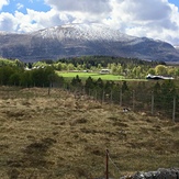
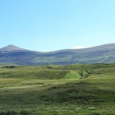
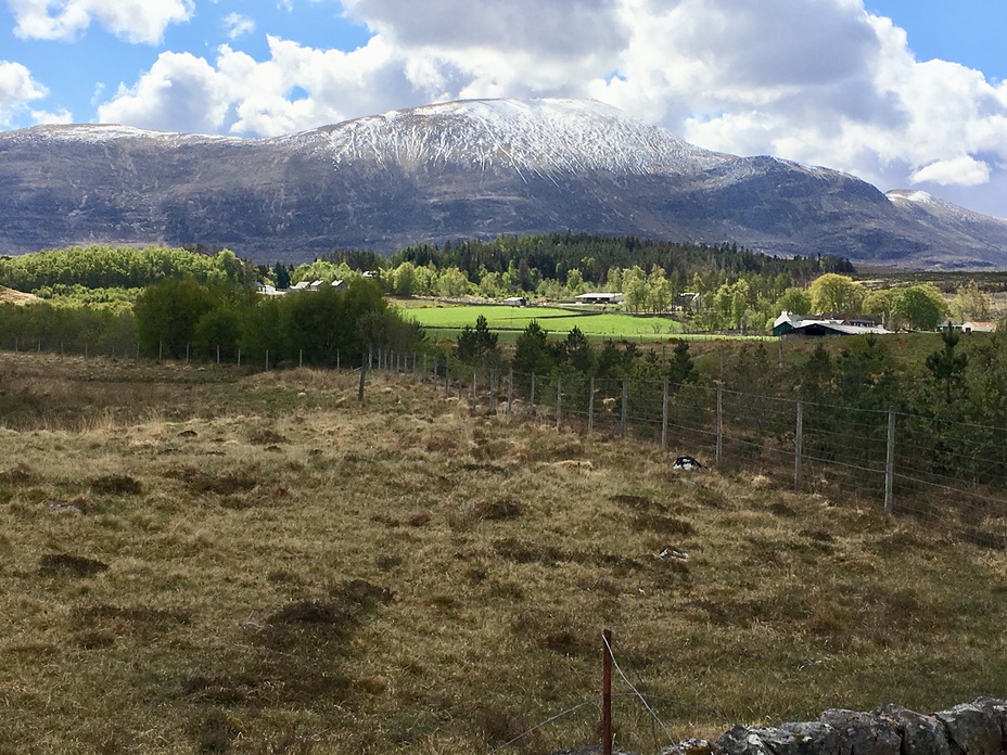
 Ben Klibreck
Weather Forecast, United KingdomIssued: 12 am Mon 03 Aug Local TimeUpdates in: hr min sUpdate imminent
Issued: 12 am Mon 03 Aug Local Time
Updates in:
Update imminent hr min s

Issued: 12 am Mon 03 Aug Local Time
Updates in:
Update imminent hr min s
Days 1–4 Weather SummaryLight rain (total 9mm), mostly falling on Tue morning. Very mild (max 17°C on Mon morning, min 10°C on Sun night). Winds increasing (calm on Sun night, fresh winds from the ESE by Tue morning). | Days 5–7 Weather SummaryHeavy rain (total 25mm), heaviest during Fri night. Very mild (max 15°C on Sat afternoon, min 8°C on Thu night). Winds increasing (light winds from the SSW on Thu night, strong winds from the W by Sat afternoon). | ||||||||||||||||||
Monday 3 | Tuesday 4 | Wednesday 5 | Thursday 6 | Friday 7 | Saturday 8 | ||||||||||||||
night | AM | PM | night | AM | PM | night | AM | PM | night | AM | PM | night | AM | PM | night | AM | PM | night | |
some clouds | rain shwrs | light rain | light rain | light rain | light rain | light rain | light rain | light rain | rain shwrs | light rain | light rain | rain shwrs | light rain | light rain | rain shwrs | rain shwrs | rain shwrs | light rain | |
Cloud base (m) | 900 | 1500 | 850 | 200 | 250 | 250 | 450 | 300 | 250 | 550 | 750 | 900 | 1550 | 350 | 200 | 350 | 700 | 400 | |
km/h | |||||||||||||||||||
 |  |  |  |  |  |  | |||||||||||||
— | — | — | — | — | — | — | — | — | — | — | — | — | — | — | — | — | — | — | |
mm | — | 0.1 | 0.3 | 1.3 | 3 | 0.6 | 1.9 | 0.4 | 1.8 | 1.3 | 0.1 | 0.2 | 1.1 | 0.3 | 1.4 | 20 | 0.3 | 0.7 | 0.9 |
max °C | 12 | 17 | 17 | 13 | 12 | 12 | 13 | 13 | 13 | 12 | 13 | 14 | 10 | 14 | 13 | 12 | 14 | 15 | 12 |
min °C | 10 | 14 | 16 | 12 | 12 | 12 | 12 | 13 | 12 | 11 | 12 | 13 | 8 | 13 | 13 | 12 | 13 | 13 | 10 |
chill °C | 10 | 14 | 16 | 12 | 9 | 10 | 12 | 13 | 11 | 10 | 10 | 12 | 7 | 12 | 12 | 10 | 10 | 11 | 8 |
Freezing level m | 2200 | 2450 | 2500 | 2750 | 3050 | 3150 | 2850 | 2600 | 2600 | 2200 | 1800 | 1850 | 2200 | 2050 | 2300 | 2350 | 2200 | 2250 | 2000 |
— | 5:11 | — | — | 5:13 | — | — | 5:16 | — | — | 5:18 | — | — | 5:20 | — | — | 5:22 | — | — | |
— | — | 9:32 | — | — | 9:30 | — | — | 9:29 | — | — | 9:25 | — | — | 9:23 | — | — | 9:21 | — | |
Loading...
Ben Klibreck Weather (Days 0-3):
The weather forecast for Ben Klibreck is: Light rain (total 9mm), mostly falling on Tue morning. Very mild (max 17°C on Mon morning, min 10°C on Sun night). Winds increasing (calm on Sun night, fresh winds from the ESE by Tue morning).
Ben Klibreck Weather (Days 3-6):
Heavy rain (total 25mm), heaviest during Fri night. Very mild (max 15°C on Sat afternoon, min 8°C on Thu night). Winds increasing (light winds from the SSW on Thu night, strong winds from the W by Sat afternoon).
This table gives the weather forecast for Ben Klibreck at the specific elevation of 100 m. Our advanced weather models allow us to provide distinct weather forecasts for several elevations of Ben Klibreck. To see the weather forecasts for the other elevations, use the tab navigation above the table. For a wider overview of the weather, consult the Weather Map of United Kingdom.
| Weather Station | Temp. | Weather | Wind | Gusts | Cloud / Visibility |
|---|---|---|---|---|---|
Altnaharra NO 2 | |||||
SHIP2003 | |||||
SHIP2794 | |||||
SHIP8502 | |||||
SHIP285 | |||||
SHIP879 | |||||
SHIP1256 |
* NOTE: not all weather observatories update at the same frequency which is the reason why some locations may show data from stations that are further away than known closer ones.