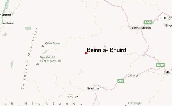
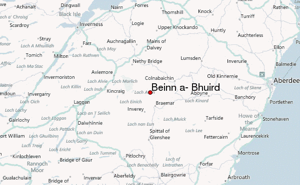
– Lat/Long: 57.10° N 3.44° W
 Beinn a' Bhùird (Beinn a- Bhuird) – Climbing, Hiking & Mountaineering information

Beinn a' Bhùird Guide
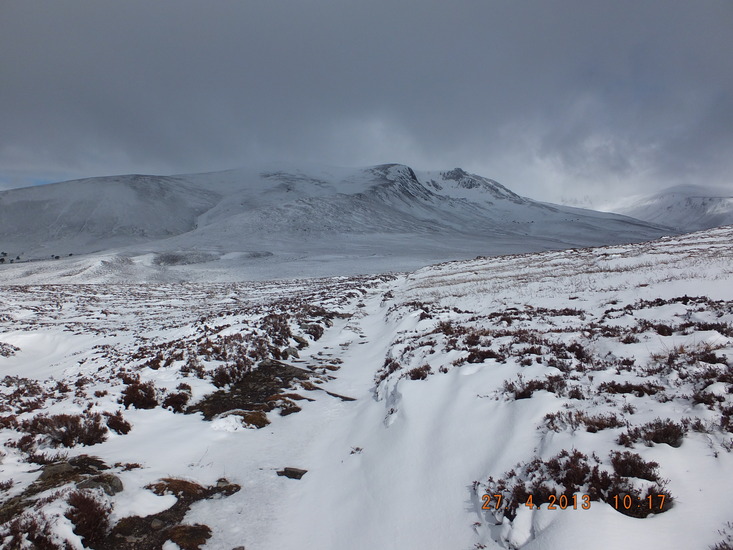
- Elevation: 1196
- Difficulty: -
- Best months to climb: -
- Convenient center: -
Beinn a' Bhùird climbers NotesBe the first to submit your climbers note! Please submit any useful information about climbing Beinn a' Bhùird that may be useful to other climbers. Consider things such as access and accommodation at the base of Beinn a' Bhùird, as well as the logistics of climbing to the summit. |
| Select a
mountain summit from the menu |
||
|
Select a Mountain Summit
|
||
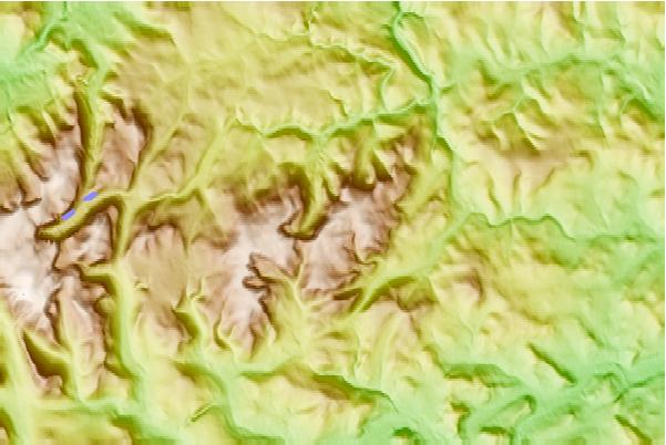
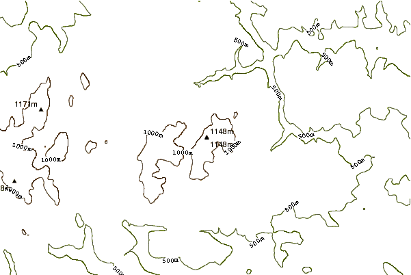
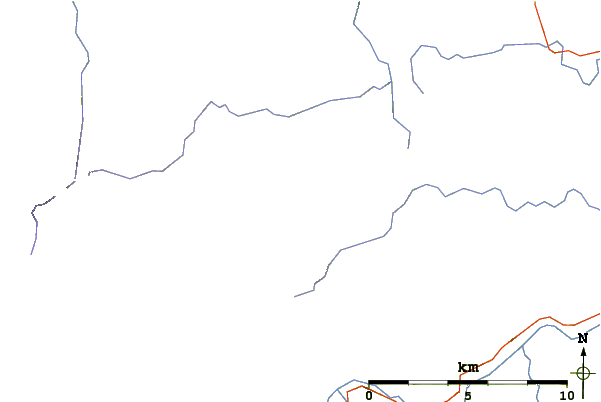
Use this relief map to navigate to mountain peaks in the area of Beinn a' Bhùird.
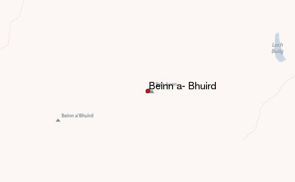
10 other mountain peaks closest to Beinn a' Bhùird:
| 1. | Ben Avon (1171 m) | 0.0 km |
| 2. | Faindouran Bothy (603 m) | 6.6 km |
| 3. | Beinn a' Chaorainn (Cairngorms) (1083 m) | 8.5 km |
| 4. | Beinn Bhreac (931 m) | 8.6 km |
| 5. | Fords of Avon Refuge Hut (689 m) | 9.0 km |
| 6. | Bynack More (1090 m) | 10.3 km |
| 7. | Beinn Mheadhoin (1182 m) | 10.6 km |
| 8. | Hutchison Memorial Hut (747 m) | 11.0 km |
| 9. | Derry Cairngorm (1155 m) | 12.0 km |
| 10. | Cairngorm (1234 m) | 12.1 km |