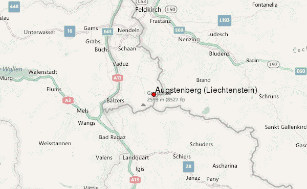
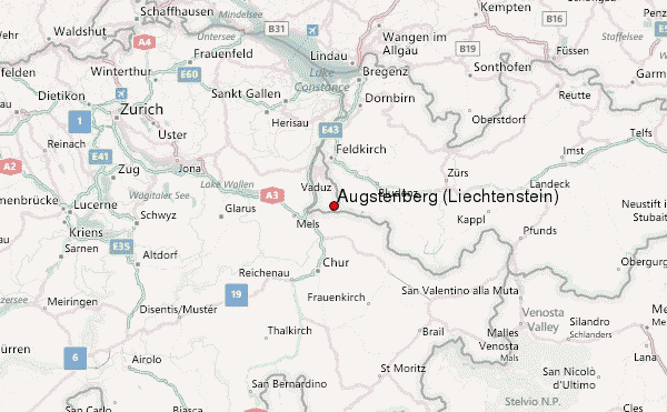
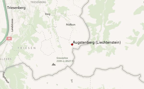
Augstenberg (Liechtenstein) Guide
- Elevation: 2359
- Difficulty: -
- Best months to climb: -
- Convenient center: -
Augstenberg (Liechtenstein) climbers Notes
Larry from UNITED STATES writes:
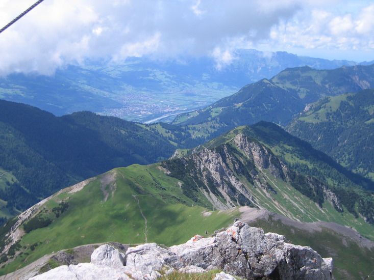
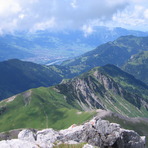
The summit is easily accessed from the town of Malbun, Liechtenstein (where there are several nice inns). We accessed it via a trail that runs along a ridge (including Spitz mountain) from the Malbun ski lift which runs in the summer (we were there in July, 2012). I strongly recommend continuing from Augstenberg along the Austria border to the Pfalzerhutte (a cafe for hikers). The trails are well marked with distances and were were few people. The view of the mountains and valley below are spectacular.
2012-12-27 |
Click here to submit your own climbing note for Augstenberg (Liechtenstein)
|
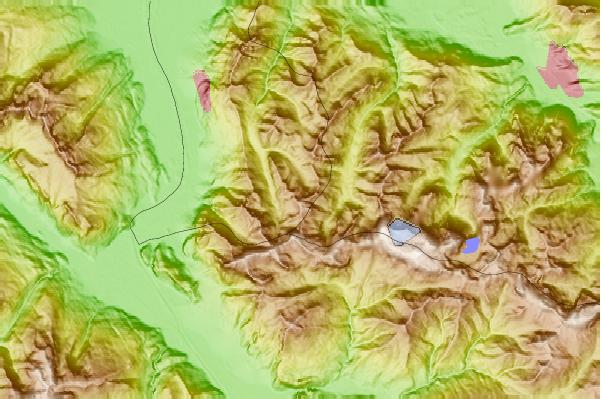
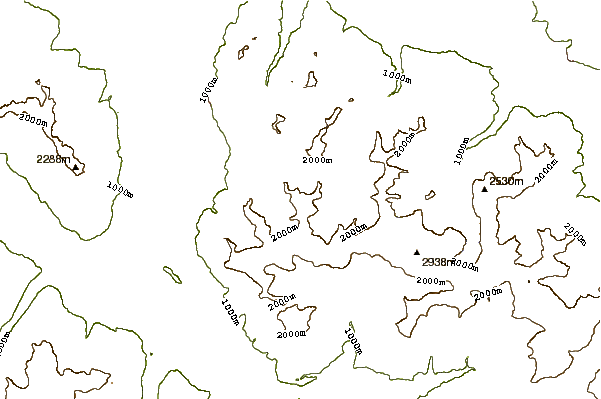
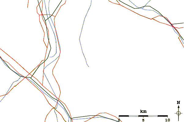
Select Augstenberg (Liechtenstein) Location Map Detail:
Use this relief map to navigate to mountain peaks in the area of Augstenberg (Liechtenstein).
10 other mountain peaks closest to Augstenberg (Liechtenstein):
 Augstenberg (Liechtenstein) – Climbing, Hiking & Mountaineering information