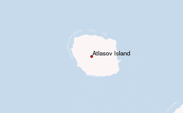
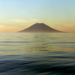
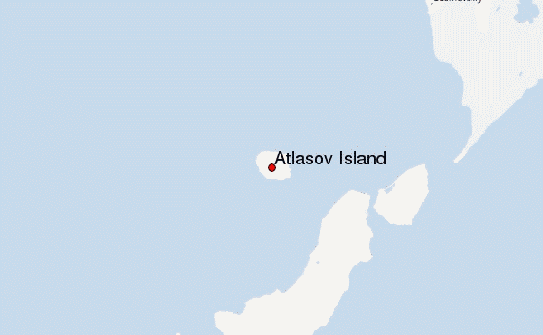
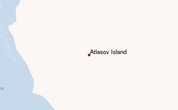
– Lat/Long: 50.86° N 155.55° E
 Atlasov Island – Climbing, Hiking & Mountaineering information

Atlasov Island Guide
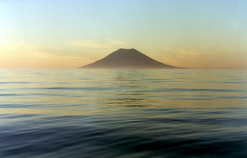
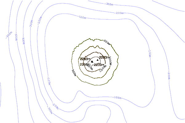
- Elevation: 2339
- Difficulty: -
- Best months to climb: -
- Convenient center: -
Atlasov Island climbers Notes
Click here to submit your own climbing note for Atlasov Island |
| Select a
mountain summit from the menu |
||
|
Select a Mountain Summit
|
||
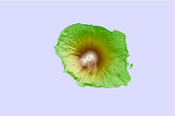
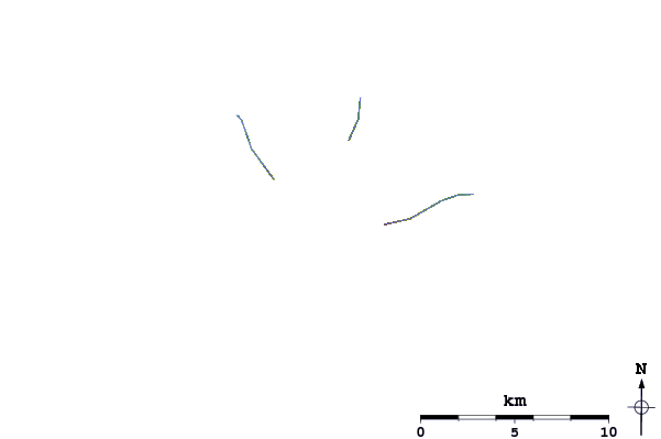
Use this relief map to navigate to mountain peaks in the area of Atlasov Island.
10 other mountain peaks closest to Atlasov Island:
| 1. | Alaid (2339 m) | 0.0 km |
| 2. | Ebeko (1156 m) | 38.6 km |
| 3. | Vernadskii Ridge (1183 m) | 45.3 km |
| 4. | Chikurachki (1816 m) | 59.7 km |
| 5. | Lomonosov Group (1681 m) | 68.2 km |
| 6. | Fuss Peak (1772 m) | 68.8 km |
| 7. | Karpinsky Group (1345 m) | 82.0 km |
| 8. | Mashkovtsev (volcano) (503 m) | 86.3 km |
| 9. | Koshelev (1812 m) | 100.6 km |
| 10. | Kambalny (2156 m) | 104.6 km |