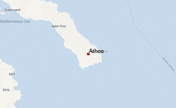
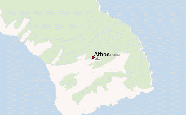
– Lat/Long: 40.17° N 24.33° E
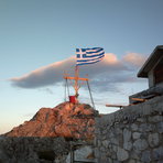
 Athos – Climbing, Hiking & Mountaineering information

Athos Guide
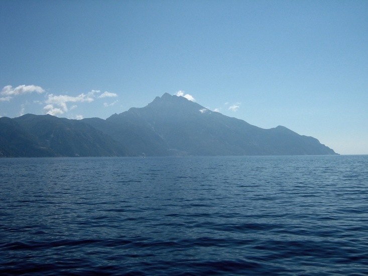
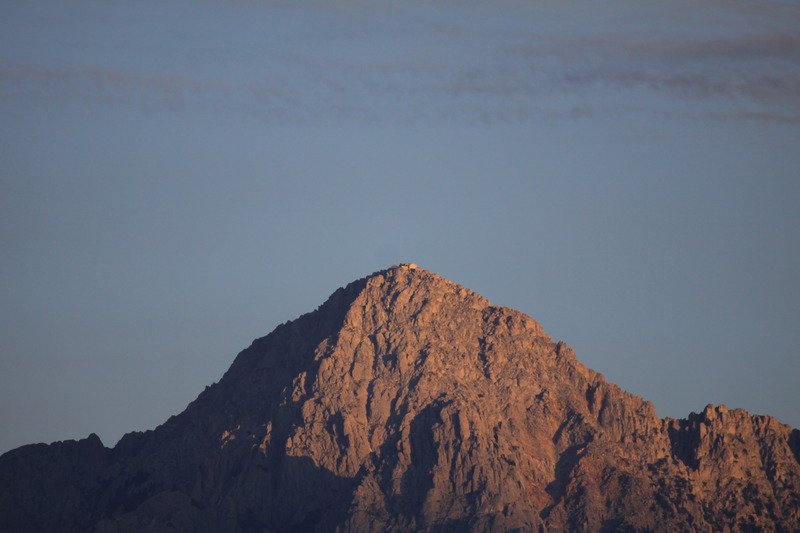
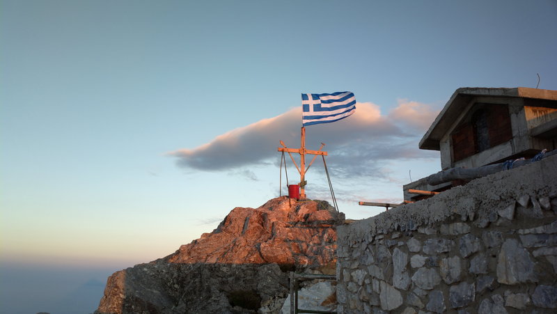
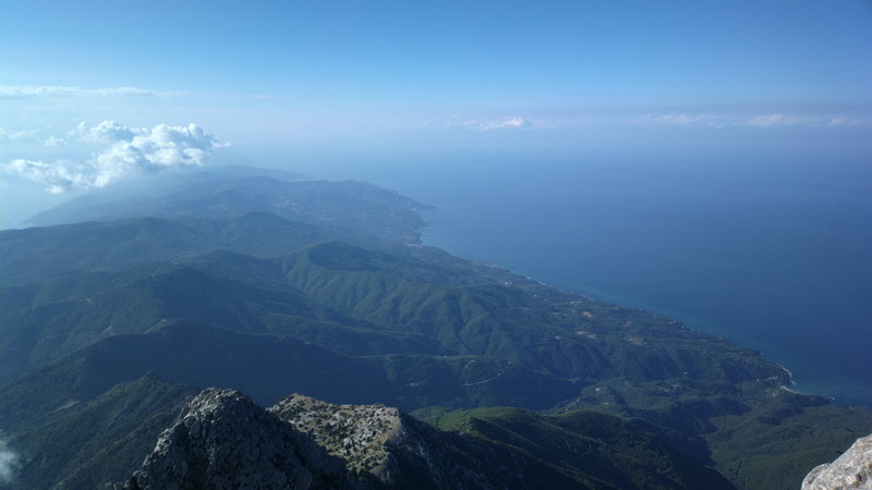
- Elevation: 2033
- Difficulty: Walk up
- Best months to climb: May, June, July, August, September
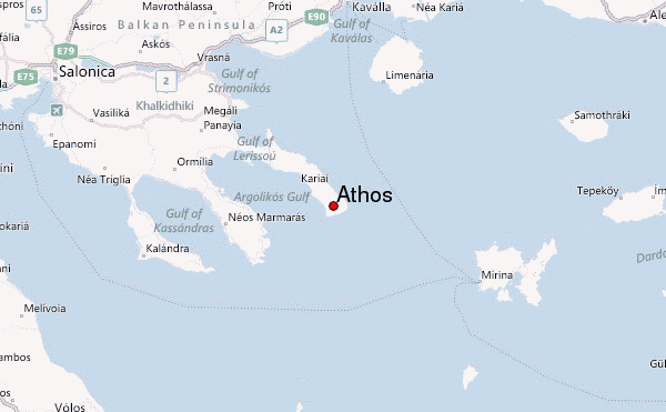
- Convenient center: Salonika
Athos climbers NotesBe the first to submit your climbers note! Please submit any useful information about climbing Athos that may be useful to other climbers. Consider things such as access and accommodation at the base of Athos, as well as the logistics of climbing to the summit. |
| Select a
mountain summit from the menu |
||
|
Select a Mountain Summit
|
||
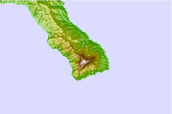
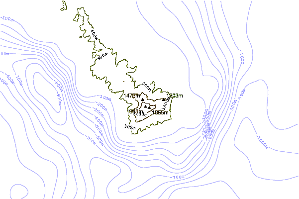
Use this relief map to navigate to mountain peaks in the area of Athos.
10 other mountain peaks closest to Athos:
| 1. | I. Panagiotou (980 m) | 67.8 km |
| 2. | Καταφύγιο Κυν. Συλλόγου στο Στρατονικό (399 m) | 75.1 km |
| 3. | Mount Cholomon (1165 m) | 76.3 km |
| 4. | Καταφύγιο Παγγαίου ΕΟΣ Καβάλας (1542 m) | 83.9 km |
| 5. | Καταφύγιο Παγγαίου Σ. Χατζηγεωργίου (1632 m) | 85.2 km |
| 6. | Καταφύγιο Παγγαίου ΕΟΣ Ροδολίβους (957 m) | 85.9 km |
| 7. | S. Hatzigeorgiou (1650 m) | 86.3 km |
| 8. | Καταφύγιο Παγγαίου Ο.Σ. Πρώτης (1160 m) | 88.1 km |
| 9. | Καταφύγιο Χορτιάτη (955 m) | 112.3 km |
| 10. | Mount Chortiatis (1201 m) | 113.0 km |