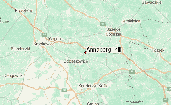
Annaberg (hill) Guide
- Elevation: 408
- Difficulty: -
- Best months to climb: -
- Convenient center: -
Annaberg (hill) climbers Notes
Mike from IRELAND writes:
Hey,
The Annaberg (hill)name is incorrect, right name of the hill is GÓRA Świętej Anny or Świyntŏ Anna and incorrect mountain group location is not in Beskidy but it is part of Silesian Upland and this is part of Krakowsko-Częstochowska Upland .
2015-06-13 |
Click here to read 1 more climbing note for Annaberg (hill) or submit your own
|
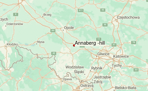
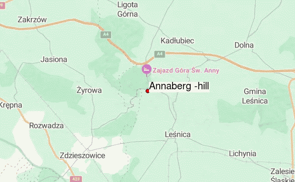
Select Annaberg (hill) Location Map Detail:
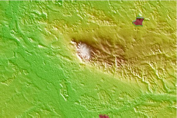
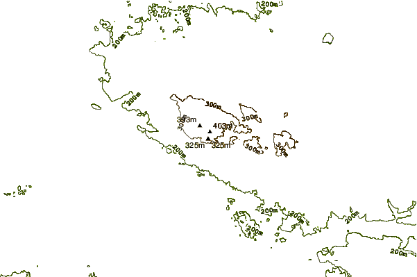
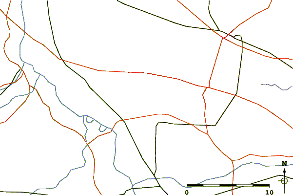
Use this relief map to navigate to mountain peaks in the area of Annaberg (hill).
10 other mountain peaks closest to Annaberg (hill):
 Annaberg (hill) – Climbing, Hiking & Mountaineering information