Angour Guide

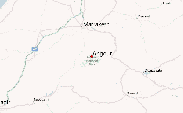
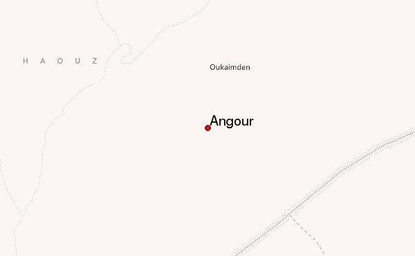
Angour
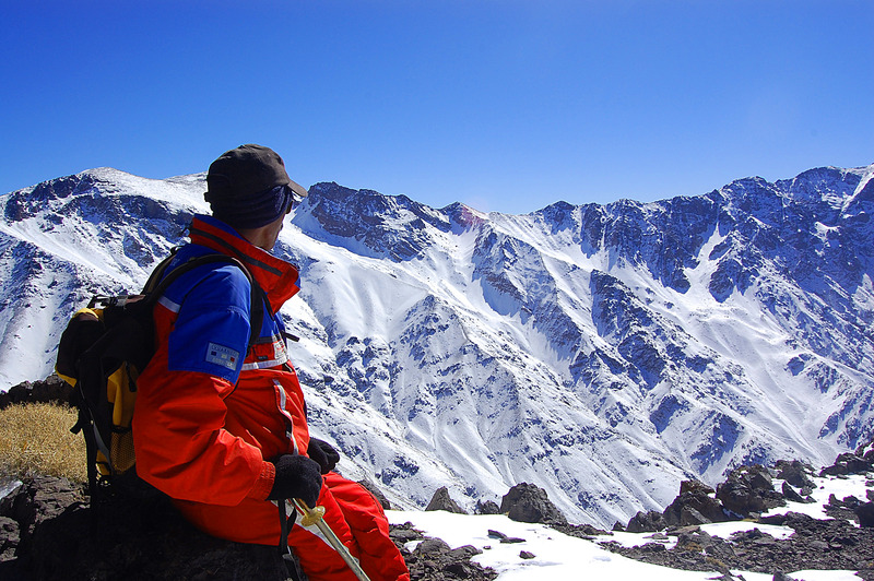
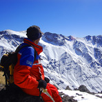
Photo credit: jorn.eriksson
- Elevation: 3616
- Difficulty: Scramble
- Best months to climb: January, February, March, April, May, June, October, November, December
- Convenient center: Marrakech
Angour climbers Notes
Jorn Eriksson from NORWAY writes:
I have tried to climb this mountain twice over the ridge. First time we didn't find the route, second time we found the gully leading to the summit. When you arrive the summit you will find a large plateau. We followed this plateau down to the village Tachedirt on the far side of the mountain, and back over a mountain pass between Angour and Jebel Oukaimeden. This is a full day hike from the village Oukaimeden. You need ice axe and crampons if climbing in winter. It's an exposed scramble.
2012-11-08 |
Click here to submit your own climbing note for Angour
|
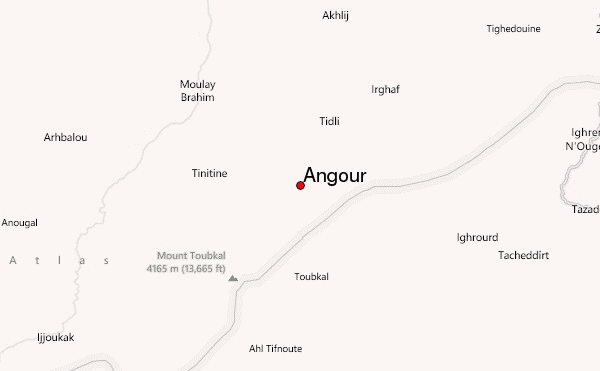
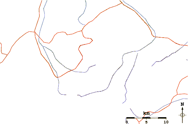
Select Angour Location Map Detail:
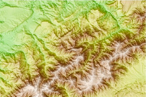
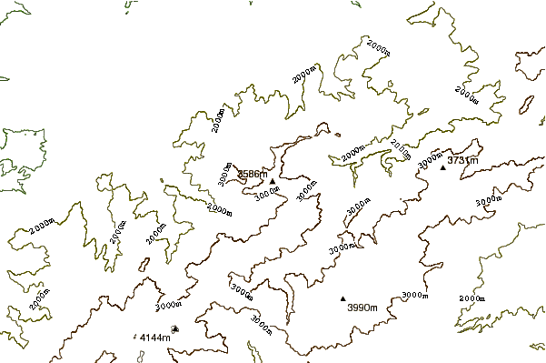
Use this relief map to navigate to mountain peaks in the area of Angour.
10 other mountain peaks closest to Angour:
 Angour – Climbing, Hiking & Mountaineering information