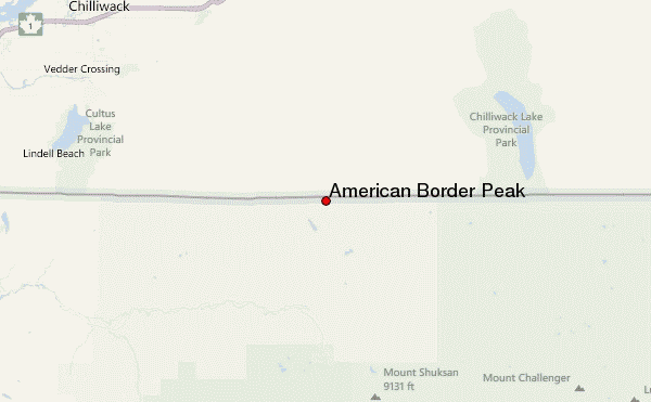
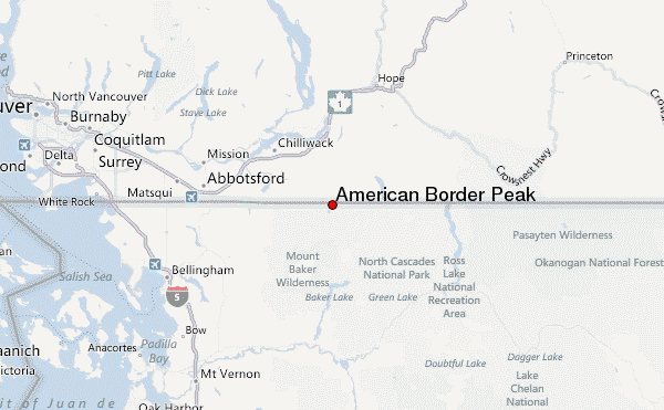
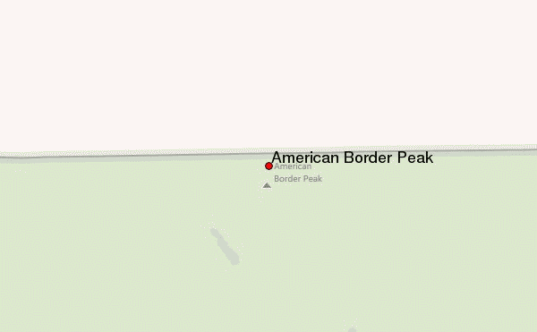
– Lat/Long: 49.00° N 121.66° W
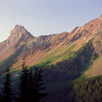
 American Border Peak – Climbing, Hiking & Mountaineering information

American Border Peak Guide
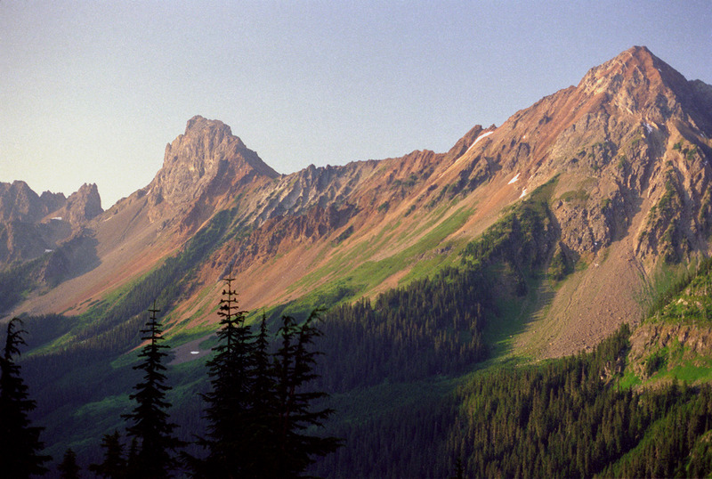
- Elevation: 2437
- Difficulty: Scramble
- Best months to climb: June, July, August, September
- Convenient center: Bellingham
American Border Peak climbers NotesBe the first to submit your climbers note! Please submit any useful information about climbing American Border Peak that may be useful to other climbers. Consider things such as access and accommodation at the base of American Border Peak, as well as the logistics of climbing to the summit. |
| Select a
mountain summit from the menu |
||
|
Select a Mountain Summit
|
||
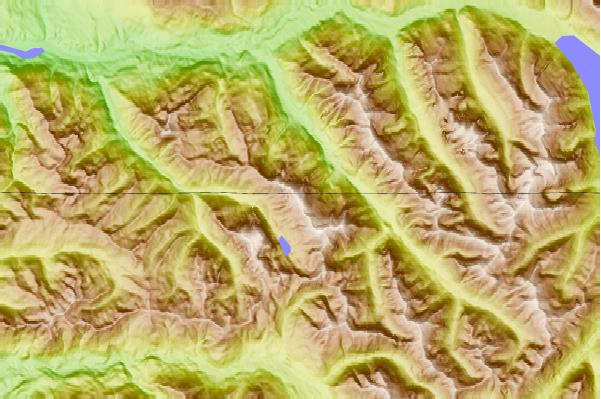
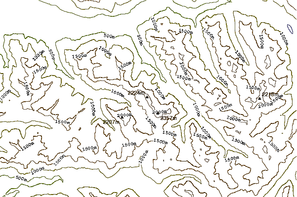
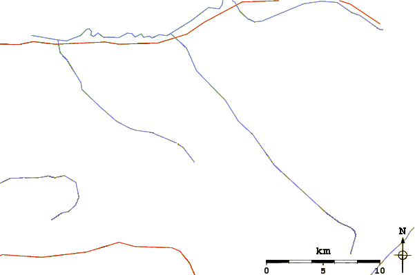
Use this relief map to navigate to mountain peaks in the area of American Border Peak.
10 other mountain peaks closest to American Border Peak:
| 1. | Canadian Border Peak (2291 m) | 1.4 km |
| 2. | Mount Larrabee (2398 m) | 2.2 km |
| 3. | Tomyhoi Peak (2266 m) | 3.9 km |
| 4. | Winchester Mountain (1988 m) | 4.6 km |
| 5. | Winchester Mountain Lookout (1987 m) | 4.6 km |
| 6. | Slesse Peak (2393 m) | 5.3 km |
| 7. | Mount Baker Lodge (1280 m) | 14.5 km |
| 8. | Hannegan Peak (1886 m) | 14.9 km |
| 9. | Ruth Mountain (2166 m) | 18.0 km |
| 10. | Mount Shuksan (2782 m) | 18.8 km |