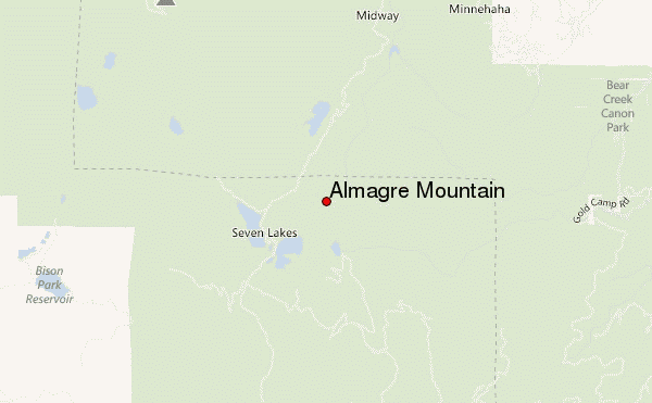
– Lat/Long: 38.79° N 104.99° W
 Almagre Mountain – Climbing, Hiking & Mountaineering information

Almagre Mountain Guide
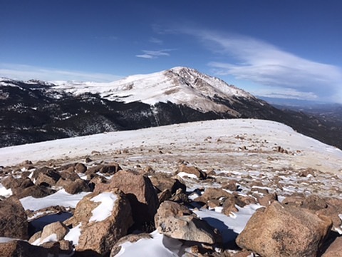
- Elevation: 3770
- Difficulty: Walk up
- Best months to climb: May, June, July, August, September, October
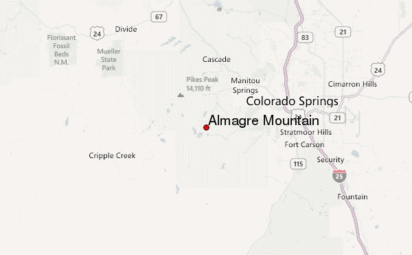
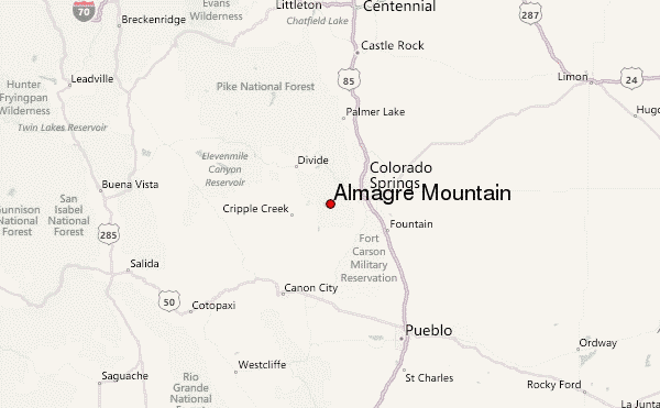
- Convenient center: Colorado Springs
Almagre Mountain climbers NotesBe the first to submit your climbers note! Please submit any useful information about climbing Almagre Mountain that may be useful to other climbers. Consider things such as access and accommodation at the base of Almagre Mountain, as well as the logistics of climbing to the summit. |
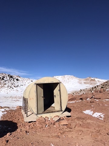
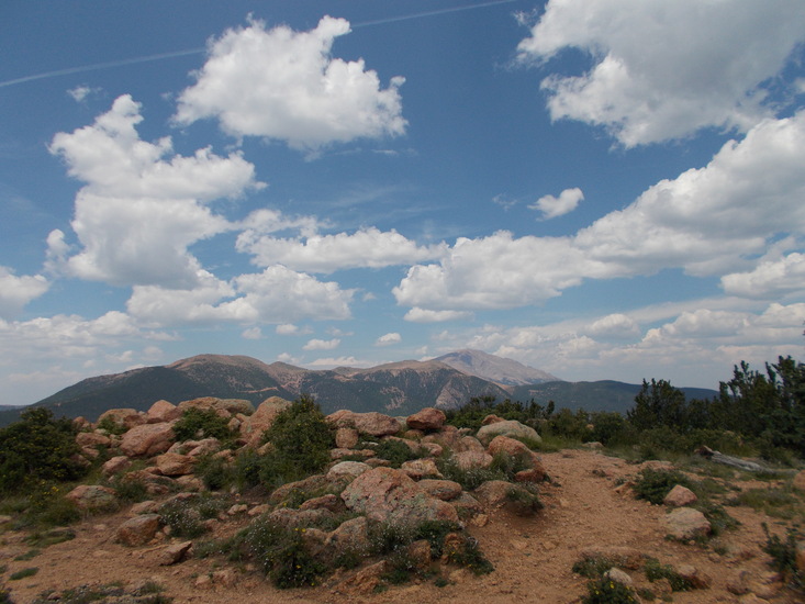
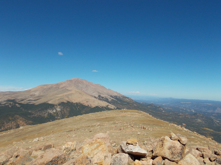
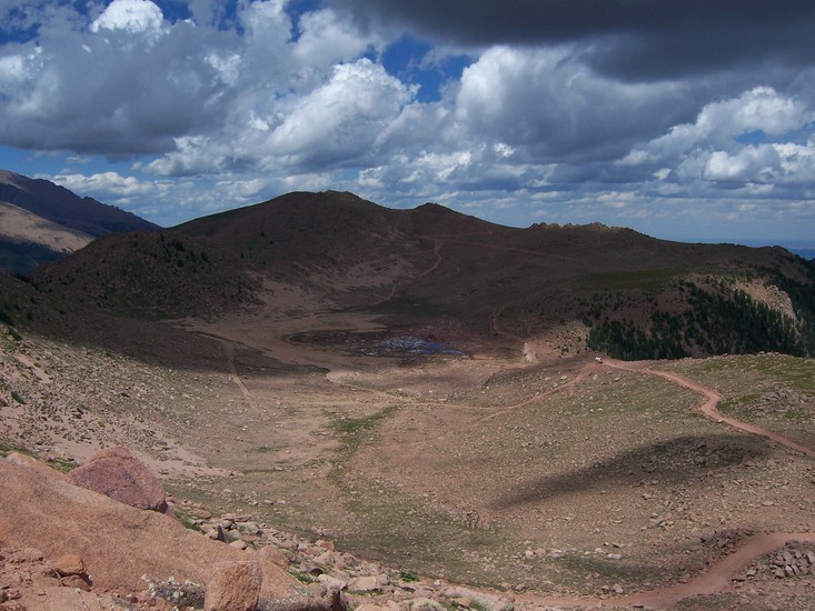
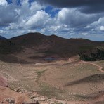
Latest Gallery Images for Almagre Mountain

| Select a
mountain summit from the menu |
||
|
Select a Mountain Summit
|
||
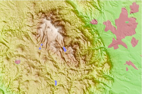
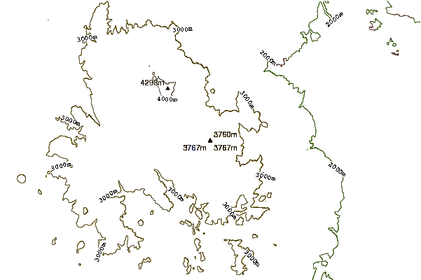
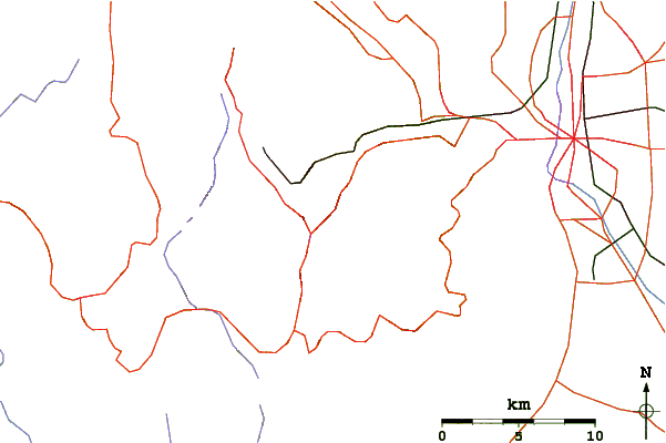
Use this relief map to navigate to mountain peaks in the area of Almagre Mountain.
10 other mountain peaks closest to Almagre Mountain:
| 1. | Cameron Cone (3263 m) | 5.6 km |
| 2. | Mount Rosa (Colorado) (3505 m) | 5.7 km |
| 3. | Pikes Peak (4300 m) | 7.0 km |
| 4. | Cheyenne Mountain (2915 m) | 13.7 km |
| 5. | Petkash Peak (2731 m) | 18.1 km |
| 6. | Ormes Peak (2965 m) | 18.4 km |
| 7. | Blodgett Peak (2872 m) | 21.1 km |
| 8. | Yurtopia Yurt (2816 m) | 23.0 km |
| 9. | Monument Hill (2241 m) | 51.8 km |
| 10. | Badger Mountain (Colorado) (3442 m) | 53.4 km |