– Lat/Long: 49.30° S 73.05° W
 Aguja De La S – Climbing, Hiking & Mountaineering information

Aguja De La S Guide
- Elevation: 2335
- Difficulty: Major Mountain Expedition
- Best months to climb: January, February, November, December
- Convenient center: El Chaltèn
Aguja De La S climbers NotesBe the first to submit your climbers note! Please submit any useful information about climbing Aguja De La S that may be useful to other climbers. Consider things such as access and accommodation at the base of Aguja De La S, as well as the logistics of climbing to the summit. |
| Select a
mountain summit from the menu |
||
|
Select a Mountain Summit
|
||
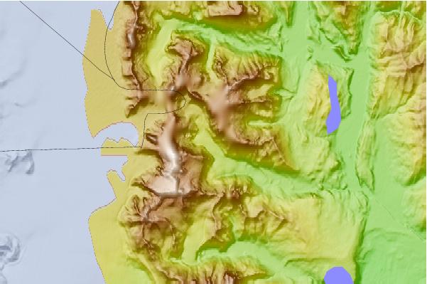
Use this relief map to navigate to mountain peaks in the area of Aguja De La S.
10 other mountain peaks closest to Aguja De La S:
| 1. | Aguja Saint Exupery (817 m) | 2.2 km |
| 2. | Cerro Fitzroy (3375 m) | 3.0 km |
| 3. | Cerro Mocho (1953 m) | 3.0 km |
| 4. | Monte Fitz Roy (3375 m) | 3.3 km |
| 5. | Torre Egger (2685 m) | 3.6 km |
| 6. | Cerro Torre (3133 m) | 3.6 km |
| 7. | Cerro Poincenot (3002 m) | 5.6 km |
| 8. | Volcan Viedma (1300 m) | 17.9 km |
| 9. | Viedma (volcano) (1500 m) | 17.9 km |
| 10. | Lautaro (3380 m) | 47.9 km |