– Lat/Long: 46.22° N 9.97° E
 Capanna Vetta Di Rhon – Climbing, Hiking & Mountaineering information

Capanna Vetta Di Rhon Guide
- Place: -
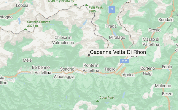
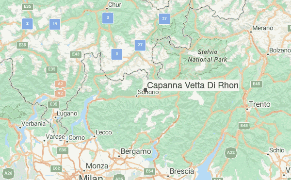
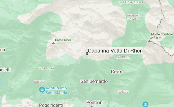
- Facilities: Capanna Vetta di Rhon stands at 2, 172 m in the remote Alpe di Rhon (Lombardia), offering a modest 12 bunk-style beds in a rustic shelter born from a 2007 renovation of an old alpine hut. Managed by CAI Ponte under Aldo Pasini, it’s a quiet base for hikes along the Alta Via della Val Fontana or ascents to nearby peaks. Basic comforts include solar lighting, gas cooking, and an outdoor water source.
- Bookable: -
- Sleeps: 10
Capanna Vetta Di Rhon visitors NotesBe the first to submit your visitors note! Please submit any useful information about climbing Capanna Vetta Di Rhon that may be useful to other climbers. Consider things such as access and accommodation at the base of Capanna Vetta Di Rhon, as well as the logistics of climbing to the summit. |
10 other mountain peaks closest to Capanna Vetta Di Rhon:
| 1. | Rifugio Gugiatti Ermanno/sertorelli Oscar (2137 m) | 3.9 km |
| 2. | Rifugio De Dosso Bruno (2119 m) | 4.4 km |
| 3. | Rifugio Cederna Maffina (2581 m) | 5.5 km |
| 4. | Scalino (3323 m) | 5.5 km |
| 5. | Piz Combul (2901 m) | 5.8 km |
| 6. | Pizzo Scalino (3323 m) | 6.7 km |
| 7. | Rifugio Cristina (2287 m) | 7.4 km |
| 8. | Piz Cancian (3103 m) | 7.5 km |
| 9. | Capanna Anzana (2043 m) | 8.2 km |
| 10. | Rifugio Ca’Runcasch (2170 m) | 8.8 km |