Tungurahua guide
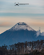
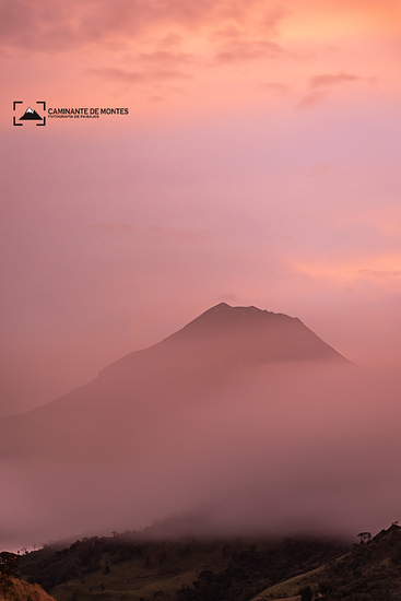
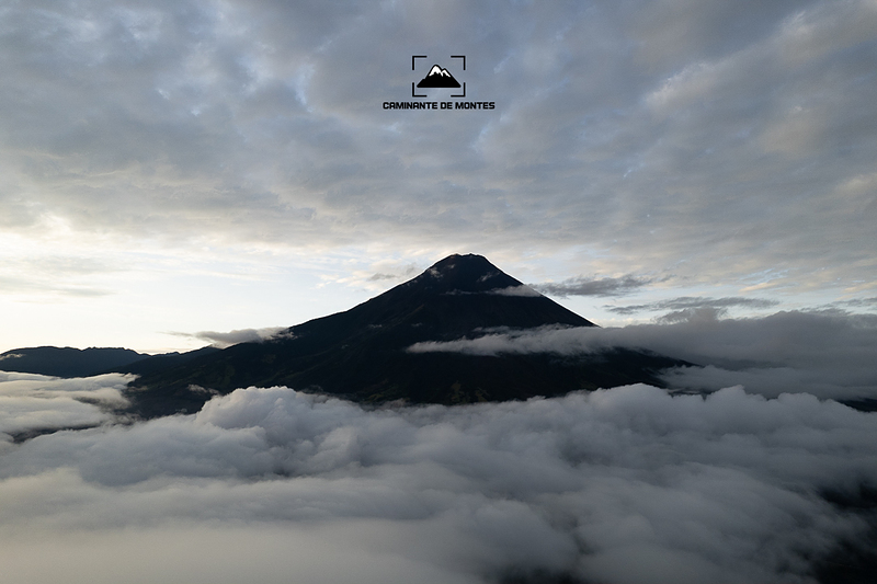
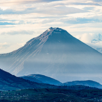
Tungurahua
Photo credit: Adrián Soria - Caminante De Montes
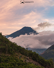
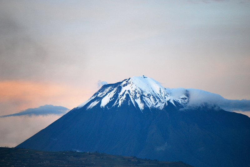
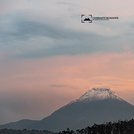
Tungurahua
Photo credit: Adrián Soria - Caminante De Montes
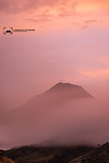
Tungurahua
Photo credit: Adrián Soria - Caminante De Montes
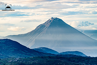
Tungurahua
Photo credit: Adrián Soria - Caminante De Montes

Tungurahua
Photo credit: Adrián Soria - Caminante De Montes
- Elevation: 5023 m
- Difficulty: Major Mountain Expedition
- Best months to climb: January, February, March, April, December
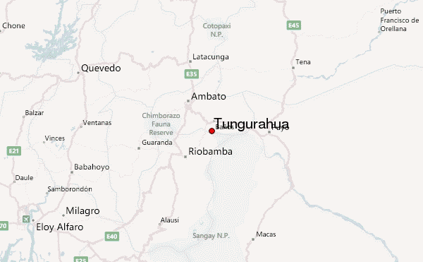
- Convenient center: ambato
Tungurahua Climbing Notes
Gabriel Rodriguez from ECUADOR writes:
En caso de requerir mayor informacion acerca del clima o de la montaña, pueden llamar a +593-987173573 o al +593-983914291. Ademas pueden conultar acer del refugio, disponibilidad y precios.
Saludos
Gabriel Rodriguez.
2019-06-24 |
Click here to submit your own climbing note for Tungurahua
|
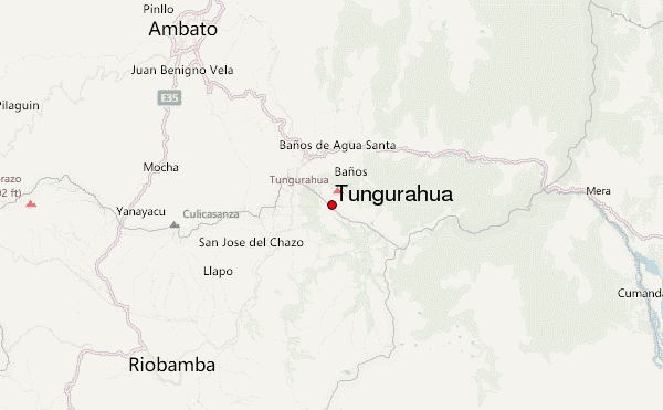
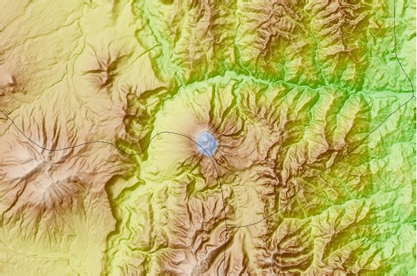
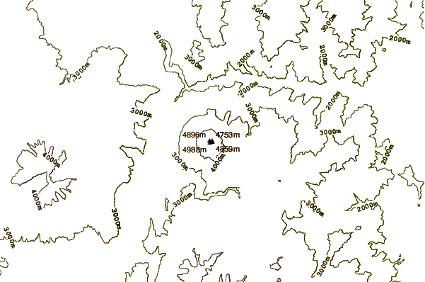
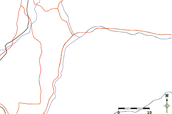
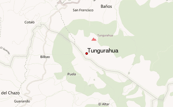
Select Tungurahua Location Map Detail:
Use this relief map to navigate to mountain peaks in the area of Tungurahua.
10 other mountain peaks closest to Tungurahua:
 Tungurahua – Climbing, Hiking & Mountaineering information


