– Lat/Long: 2.03° S 78.33° W
 Sangay – Climbing, Hiking & Mountaineering information
Sangay – Climbing, Hiking & Mountaineering information
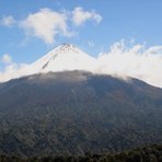
Sangay mountain guide
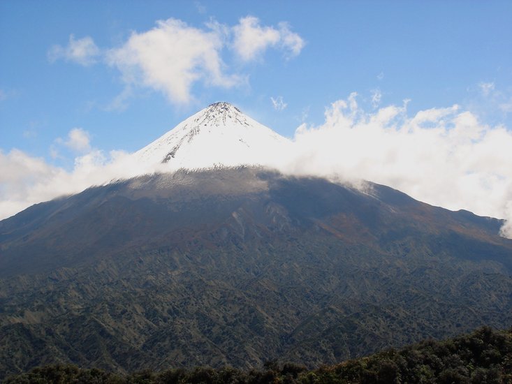
- Elevation: 5230 m
- Difficulty: Basic Snow and Ice Climb
- Best months to climb: January, February, December
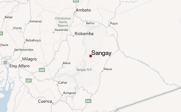
- Convenient center: Rio Bama
Sangay Climbing Notes
|
| Select a
mountain summit from the menu |
||
|
Select a Mountain Summit
|
||
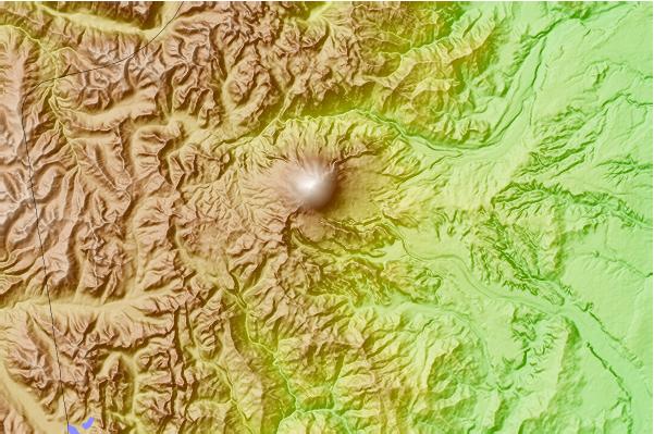
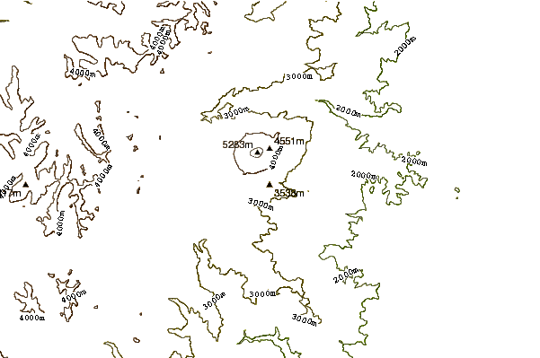
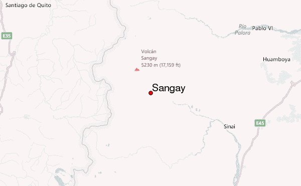
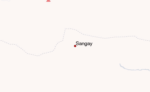
Use this relief map to navigate to mountain peaks in the area of Sangay.
10 other mountain peaks closest to Sangay:
| 1. | El Altar (5320 m) | 41.5 km |
| 2. | Tulabug (3336 m) | 42.0 km |
| 3. | Tungurahua (5023 m) | 63.9 km |
| 4. | Chimborazo (6267 m) | 82.7 km |
| 5. | Carihuairazo (5028 m) | 84.3 km |
| 6. | Quilotoa (3914 m) | 145.8 km |
| 7. | Cotopaxi (5897 m) | 151.0 km |
| 8. | Iliniza Sur (5248 m) | 153.6 km |
| 9. | Iliniza Norte (5126 m) | 158.5 km |
| 10. | Illiniza (5248 m) | 158.5 km |
 Like us
 Follow us
