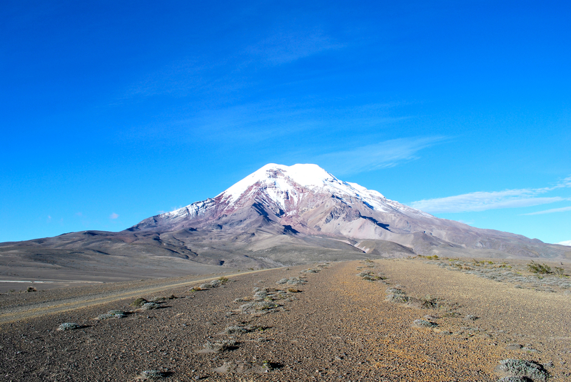
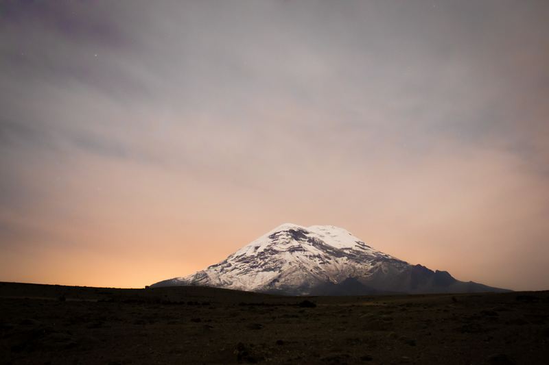
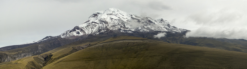
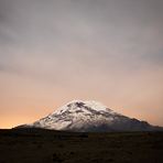
Chimborazo mountain guide
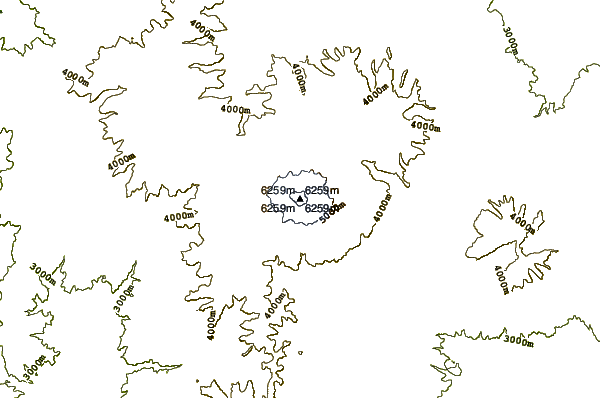
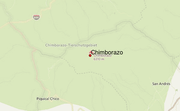
- Elevation: 6267 m
- Difficulty: Basic Snow and Ice Climb
- Best months to climb: June, July
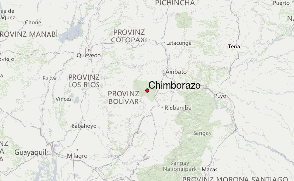
- Convenient center: Ambato, Ecuador
Chimborazo Climbing Notes
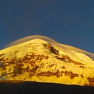
Hans Holland from ECUADOR writes:
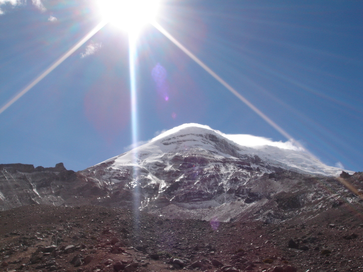
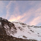
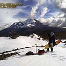
We went to Chimborazo yesterday (Jan. 8, 2016). The normal route from Whymper hut is impossible to go since several weeks (no snow, heavy rockfall). Now you use the western ascent from Carrel hut, which makes the whole ascent 1 1/2 hrs longer but safer. The long snowfield to the Ventimillia is hard ice right now, no snow almost all the way up. Strenuous to go! Between Ventimillia and the summit, the whole way is covered with high snow penitents.
But: being up there is tremendous!!! We had ideal weather conditions an a beautiful view to Cotopaxi and Antisana.
2016-01-09 |
Click here to read 2 more climbing notes for Chimborazo or submit your own
|
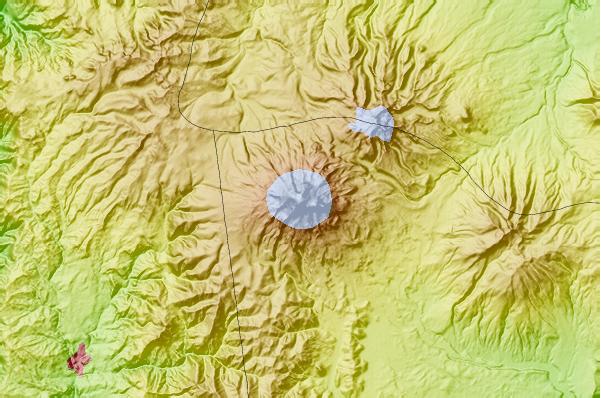
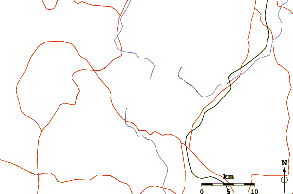
Select Chimborazo Location Map Detail:
Use this relief map to navigate to mountain peaks in the area of Chimborazo.
10 other mountain peaks closest to Chimborazo:
 Chimborazo – Climbing, Hiking & Mountaineering information
 Like us
 Follow us
