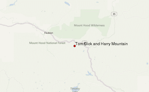
– Lat/Long: 45.29° N 121.79° W
 Tom Dick and Harry Mountain – Climbing, Hiking & Mountaineering information
Tom Dick and Harry Mountain – Climbing, Hiking & Mountaineering information
Tom Dick and Harry Mountain mountain guide
- Elevation: 1544 m
- Difficulty:
- Best months to climb:
- Convenient center:
Tom Dick and Harry Mountain Climbing Notes
Click here to submit your own climbing note for Tom Dick and Harry Mountain |
| Select a
mountain summit from the menu |
||
|
Select a Mountain Summit
|
||
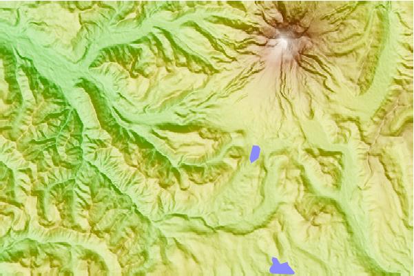
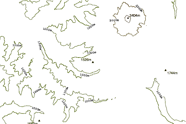
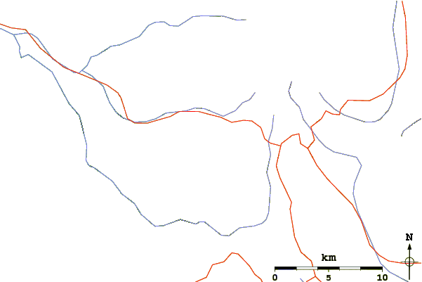
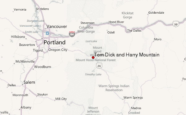
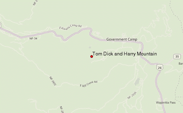
Use this relief map to navigate to mountain peaks in the area of Tom Dick and Harry Mountain.
10 other mountain peaks closest to Tom Dick and Harry Mountain:
| 1. | Zigzag Mountain (1526 m) | 7.2 km |
| 2. | Mount Hood (3426 m) | 12.0 km |
| 3. | Mount Mitchell (Oregon) (1531 m) | 25.0 km |
| 4. | Larch Mountain (Multnomah County, Oregon) (1238 m) | 35.6 km |
| 5. | Table Mountain (Skamania County, Washington) (1042 m) | 47.1 km |
| 6. | Dog Mountain (899 m) | 48.0 km |
| 7. | Greenleaf Peak (1044 m) | 49.1 km |
| 8. | Olallie Butte (2200 m) | 52.1 km |
| 9. | Boring Lava Field (1238 m) | 55.5 km |
| 10. | Battle Ax Mountain (1696 m) | 58.4 km |
 Like us
 Follow us
