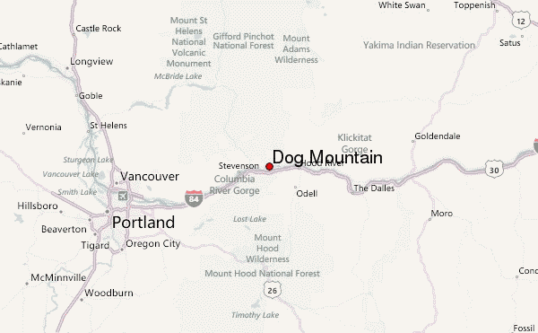
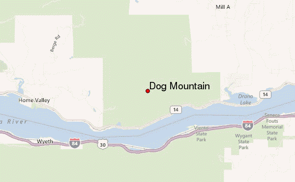
– Lat/Long: 45.72° N 121.70° W
 Dog Mountain – Climbing, Hiking & Mountaineering information
Dog Mountain – Climbing, Hiking & Mountaineering information
Dog Mountain mountain guide
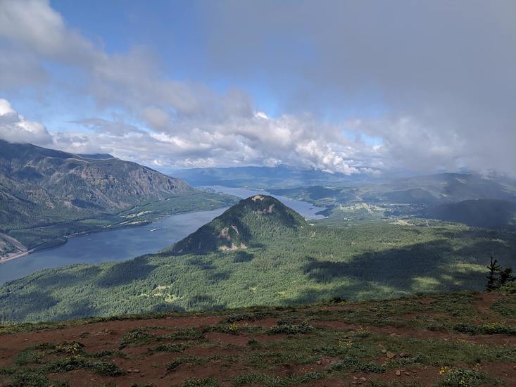
- Elevation: 899 m
- Difficulty:
- Best months to climb:
- Convenient center:
Dog Mountain Climbing Notes
Click here to submit your own climbing note for Dog Mountain |
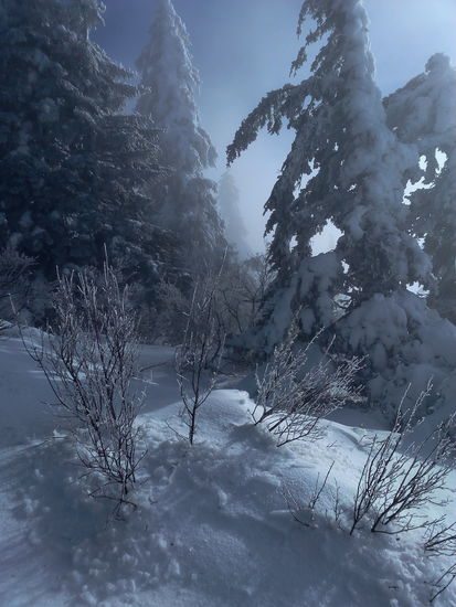
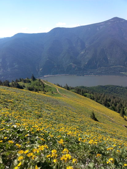
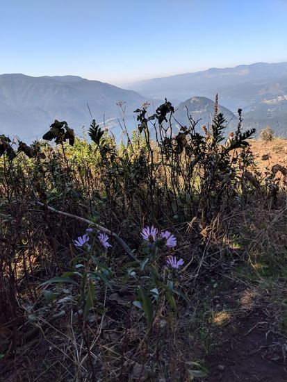
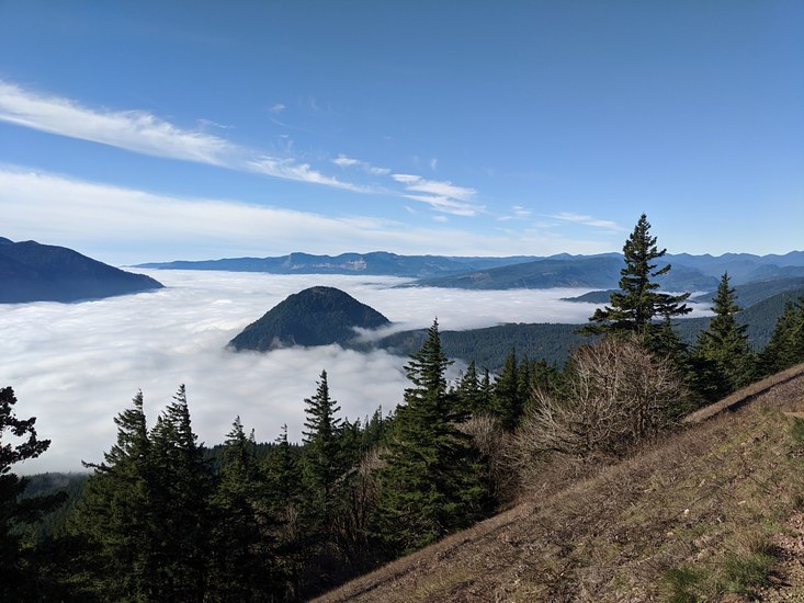
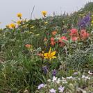
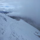
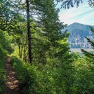
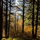
Latest Gallery Images for Dog Mountain
| Select a
mountain summit from the menu |
||
|
Select a Mountain Summit
|
||
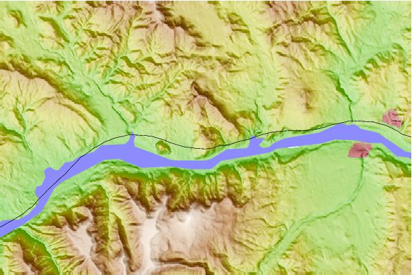
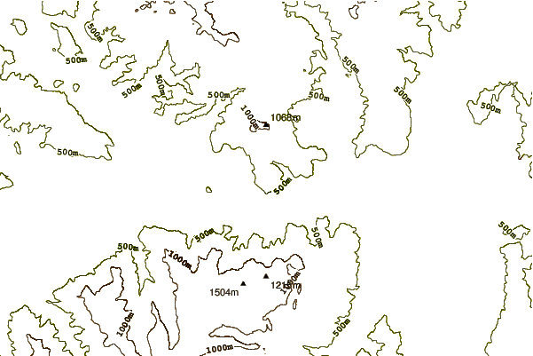
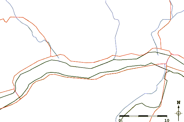
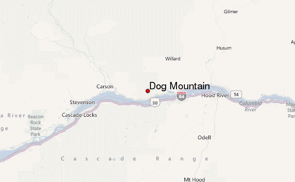
Use this relief map to navigate to mountain peaks in the area of Dog Mountain.
10 other mountain peaks closest to Dog Mountain:
| 1. | Nestor Peak (941 m) | 11.5 km |
| 2. | Greenleaf Peak (1044 m) | 20.7 km |
| 3. | Table Mountain (Skamania County, Washington) (1042 m) | 22.1 km |
| 4. | Mount Indian Heave (1513 m) | 25.4 km |
| 5. | Trout Creek Hill (890 m) | 26.4 km |
| 6. | Marble Mountain-Trout Creek Hill (150 m) | 30.9 km |
| 7. | West Crater (1329 m) | 34.5 km |
| 8. | Larch Mountain (Multnomah County, Oregon) (1238 m) | 36.4 km |
| 9. | Mount Hood (3426 m) | 38.2 km |
| 10. | Silver Star Mountain (Skamania County, Washington) (1330 m) | 41.9 km |

 Like us
 Follow us
