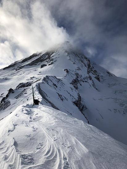
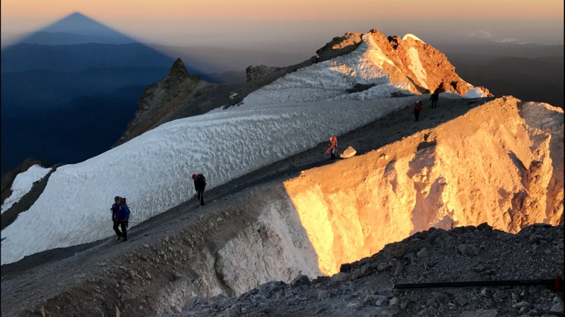
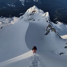
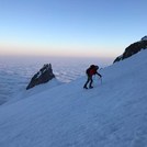
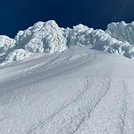
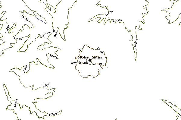
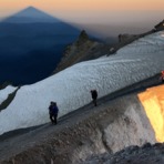
At 1:00 am Friday May 20, 2016, we ascended the south side route via the old chute. Despite a virtual white-out only 5 hours earlier, we encountered cold and clear weather (as forecast on this website). We skin skied from the parking lot at timberline lodge to where the Cat drops off the other climbers. Ditched our skis and traded them for crampons. We then made our way to the Hogsback and proceeded to climb by the hot rocks and ascend the 1:00 chute. It was sunny, clear and virtually windless on the summit. I took us 7 hours and 6 minutes to ascend, including multiple stops.
There were some teams having difficulty navigating the berchsend, and thus having trouble with the pearly gates, so that guided our decision to follow the old route.
From my observation, the berchsend opened about foot and a half, but my vantage point was from a distance.
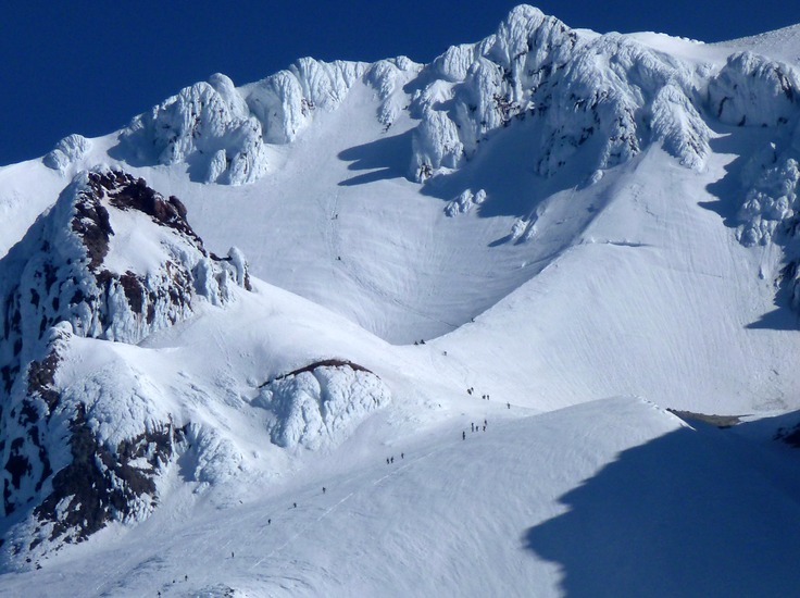
The descent was decent. Down climbed on all fours back through the 1:00 chute and made it back to the lodge via skis from the top of Palmer lift down, 3 hours and 6 minutes on the descent, with skis for the last 2800 vertical feet.
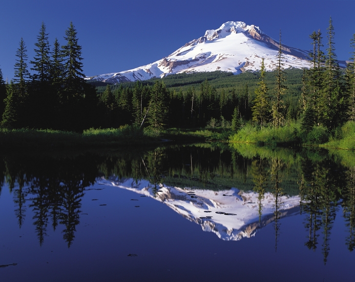
Breathtaking peak, great climb... be safe and enjoy.
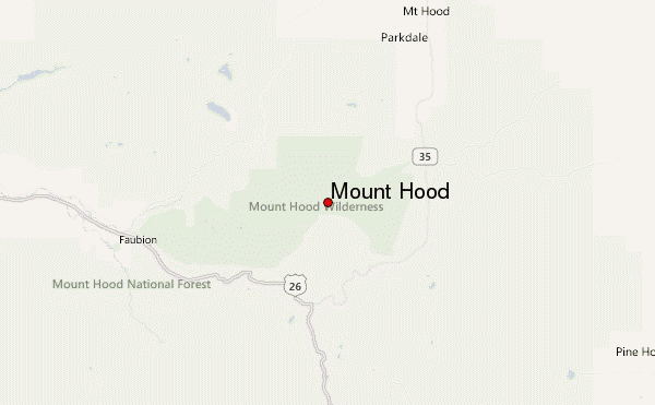
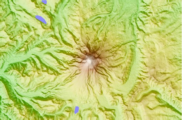
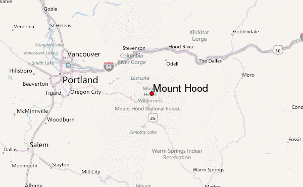
 Mount Hood – Climbing, Hiking & Mountaineering information

 Like us
 Follow us
