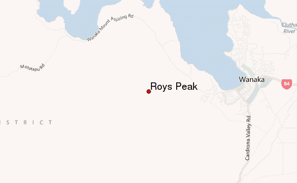
– Lat/Long: 44.70° S 169.07° E
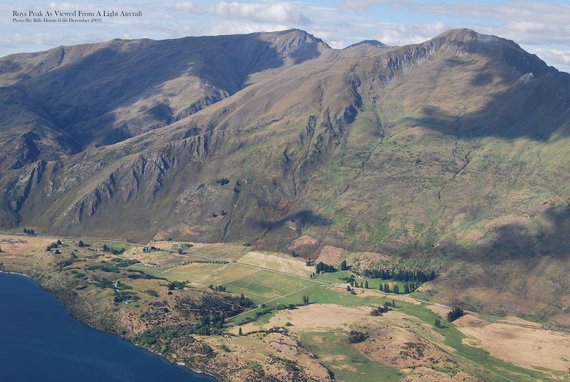
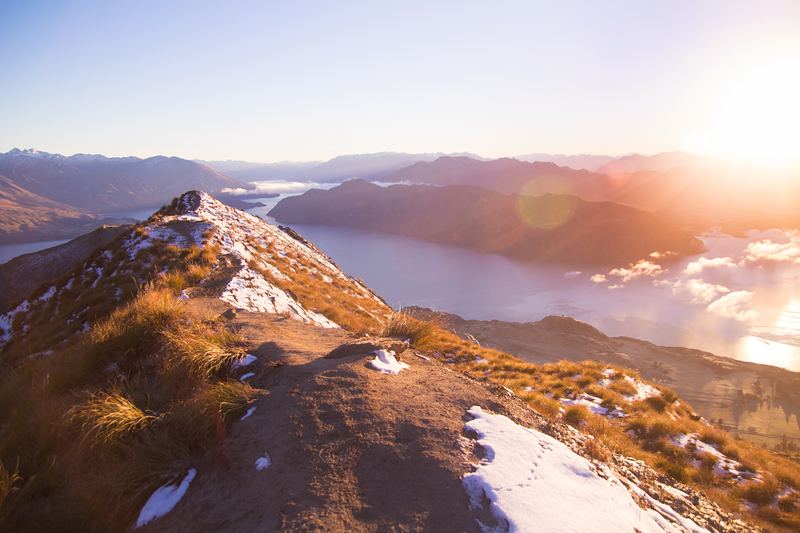
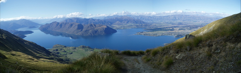
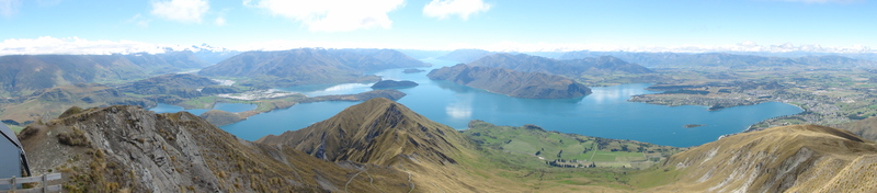
 Roys Peak – Climbing, Hiking & Mountaineering information
Roys Peak – Climbing, Hiking & Mountaineering information
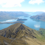
Roys Peak mountain guide
- Elevation: 1578 m
- Difficulty:
- Best months to climb:
- Convenient center:
Roys Peak Climbing NotesBe the first to submit your climbing note! Please submit any useful information about climbing Roys Peak that may be useful to other climbers. Consider things such as access and accommodation at the base of Roys Peak, as well as the logistics of climbing to the summit. |
| Select a
mountain summit from the menu |
||
|
Select a Mountain Summit
|
||
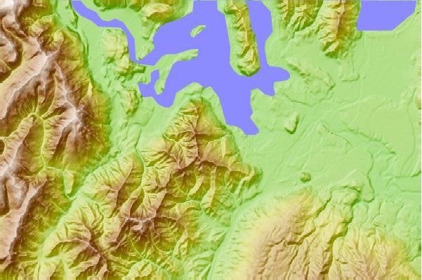
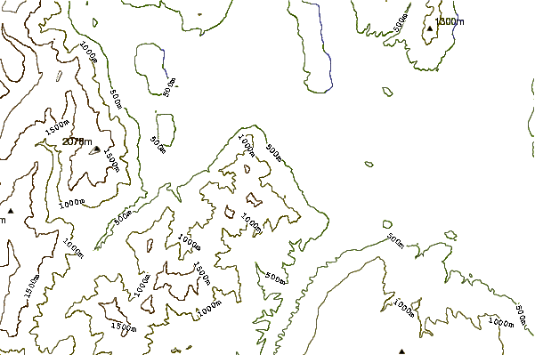
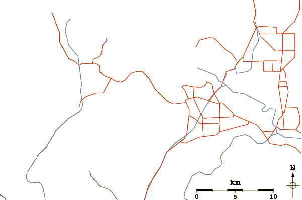
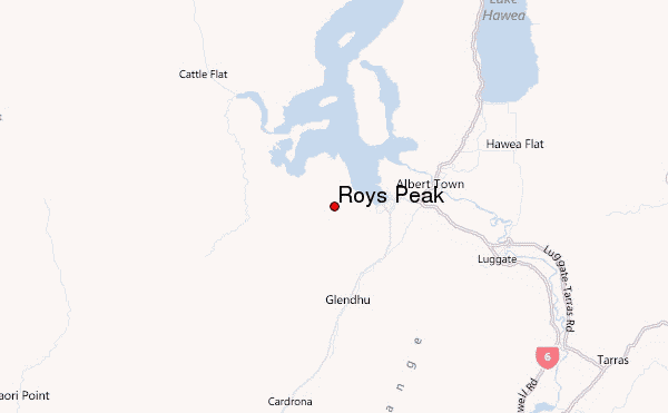
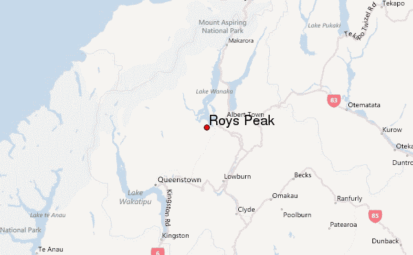
Use this relief map to navigate to mountain peaks in the area of Roys Peak.
10 other mountain peaks closest to Roys Peak:
| 1. | Mount Aspiring (3027 m) | 44.1 km |
| 2. | Mount Barff (2252 m) | 45.7 km |
| 3. | Ben Lomond (Otago) (1748 m) | 49.4 km |
| 4. | Earnslaw (2830 m) | 53.6 km |
| 5. | Cecil Peak (1978 m) | 57.1 km |
| 6. | Mount Brewster (2515 m) | 76.7 km |
| 7. | Mount Tutoko (Darran Mountains) (2723 m) | 84.3 km |
| 8. | Benmore Peak (1932 m) | 87.3 km |
| 9. | Mitre Peak (2000 m) | 91.1 km |
| 10. | Mount Domett (1942 m) | 104.7 km |
 Like us
 Follow us
