– Lat/Long: 44.60° S 168.01° E
 Mount Tutoko (Darran Mountains) – Climbing, Hiking & Mountaineering information

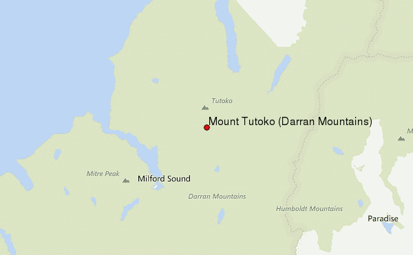
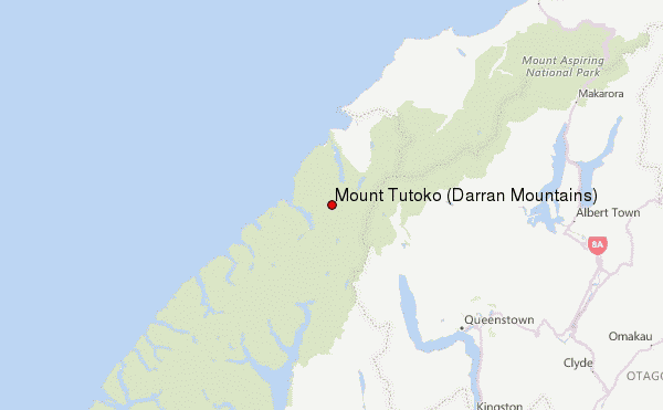
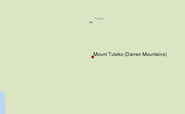
Mount Tutoko (Darran Mountains) Guide
- Elevation: 2723
- Difficulty: -
- Best months to climb: -
- Convenient center: Te Anau
Mount Tutoko (Darran Mountains) climbers NotesBe the first to submit your climbers note! Please submit any useful information about climbing Mount Tutoko (Darran Mountains) that may be useful to other climbers. Consider things such as access and accommodation at the base of Mount Tutoko (Darran Mountains), as well as the logistics of climbing to the summit. |
| Select a
mountain summit from the menu |
||
|
Select a Mountain Summit
|
||
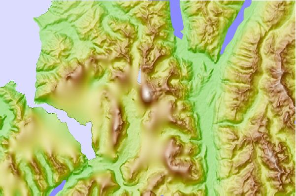
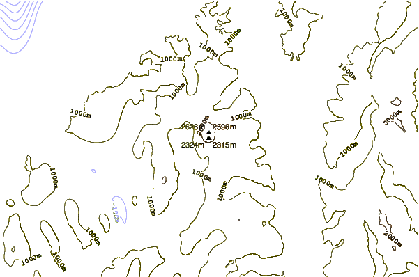
Use this relief map to navigate to mountain peaks in the area of Mount Tutoko (Darran Mountains).
10 other mountain peaks closest to Mount Tutoko (Darran Mountains):
| 1. | Hidden Falls Hut (45 m) | 8.7 km |
| 2. | Mckerrow Island Hut (8 m) | 9.5 km |
| 3. | Mitre Peak (2000 m) | 10.9 km |
| 4. | Lake Alabaster Hut (26 m) | 11.8 km |
| 5. | Demon Trail Hut (16 m) | 12.4 km |
| 6. | Kaipo Hut (92 m) | 13.1 km |
| 7. | Hokuri Hut (20 m) | 19.8 km |
| 8. | Routeburn Falls Hut (969 m) | 20.7 km |
| 9. | Routeburn Flats Hut (696 m) | 21.5 km |
| 10. | Lake Mackenzie Hut (912 m) | 23.0 km |